If you’re looking for a wild and rewarding coastal hike that embodies the Australian spirit without straying too far from Melbourne, the Punch Bowl to Kilcunda section of the George Bass Coastal Trail is a perfect choice.
The hike is just under 10 kms one way, depending on the beach detours you take. Trust me, you’ll want to take those detours! Allow up to 3 hours for the hike and all the photo opportunities. Our group tackled it in the peak of summer, leaving cars at both ends for a one way walk. Ending a hike knowing a cold drink awaits on a sunlit deck in Kilcunda is a great motivator.
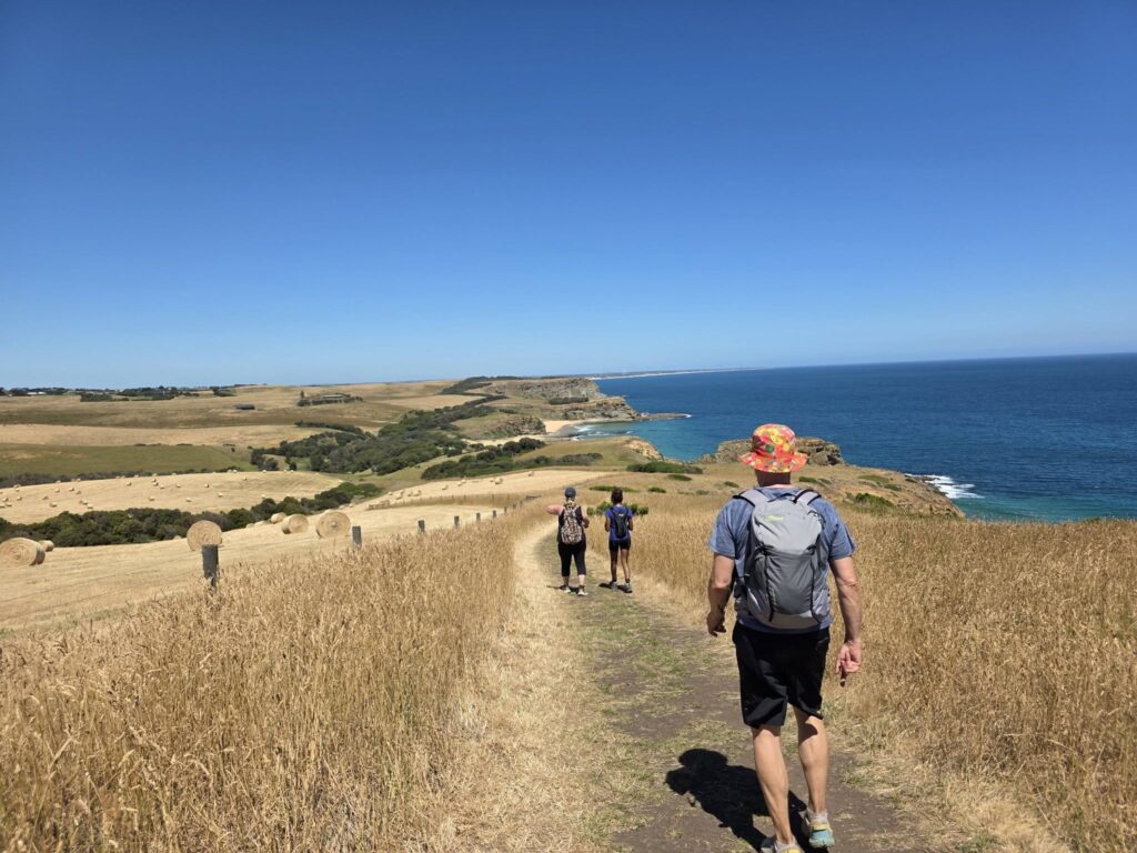
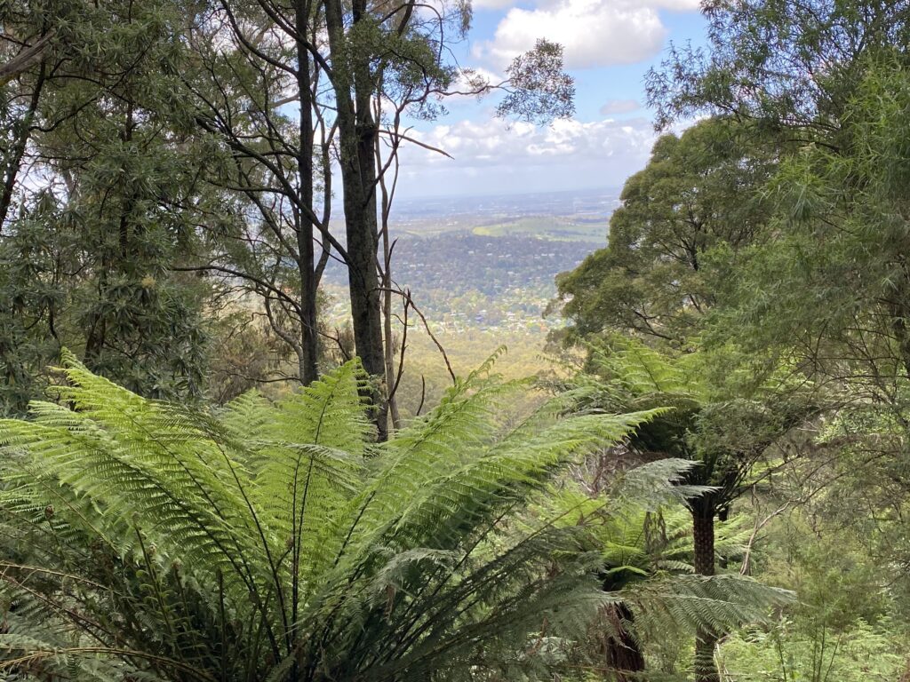
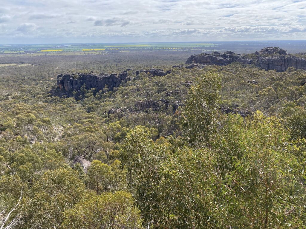
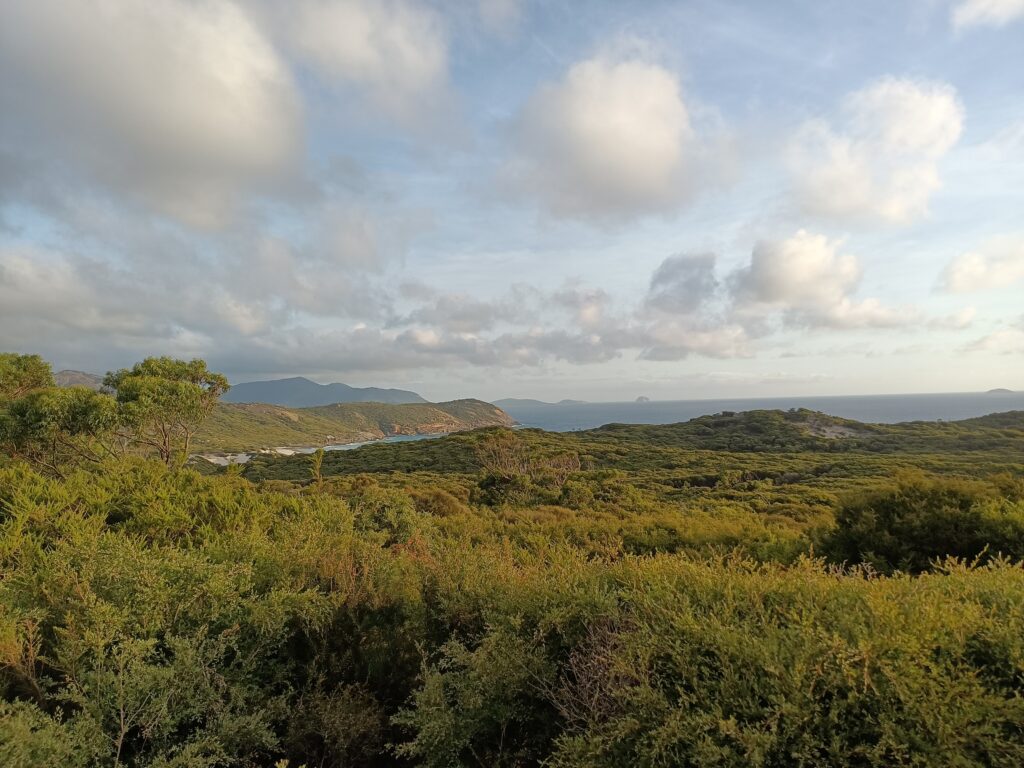
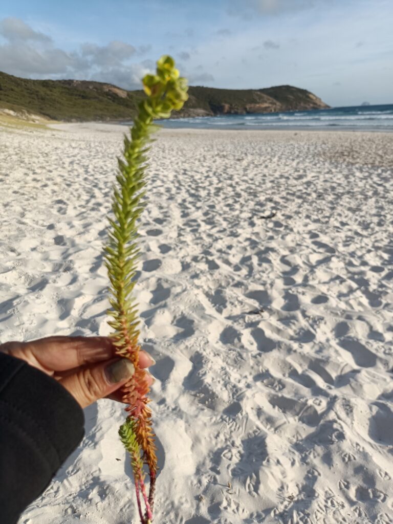
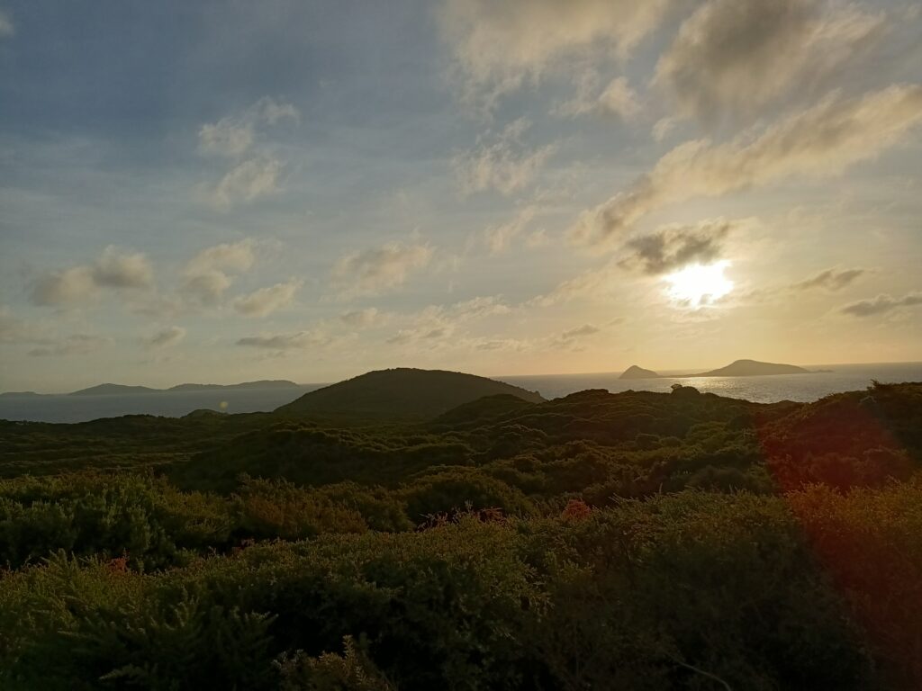
The trail is about two hours southeast of Melbourne’s CBD, making it ideal for a long day trip or a leisurely weekend getaway (plenty of camping and other accommodation options are available). Once you’re out there, it feels completely removed from city life. Picture rugged cliffs, open farmland scattered with hay bales and stretches of coastline that seem untouched.
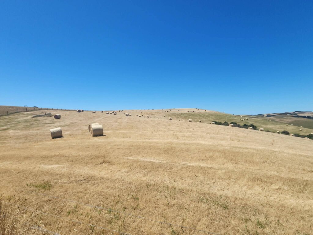
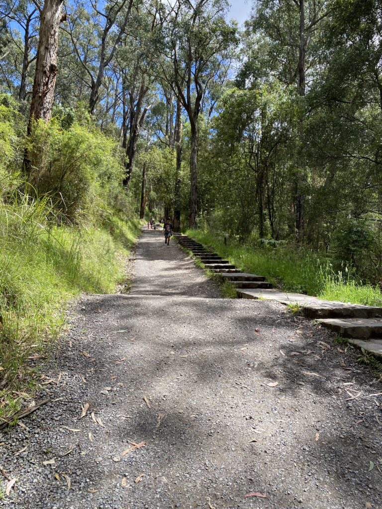
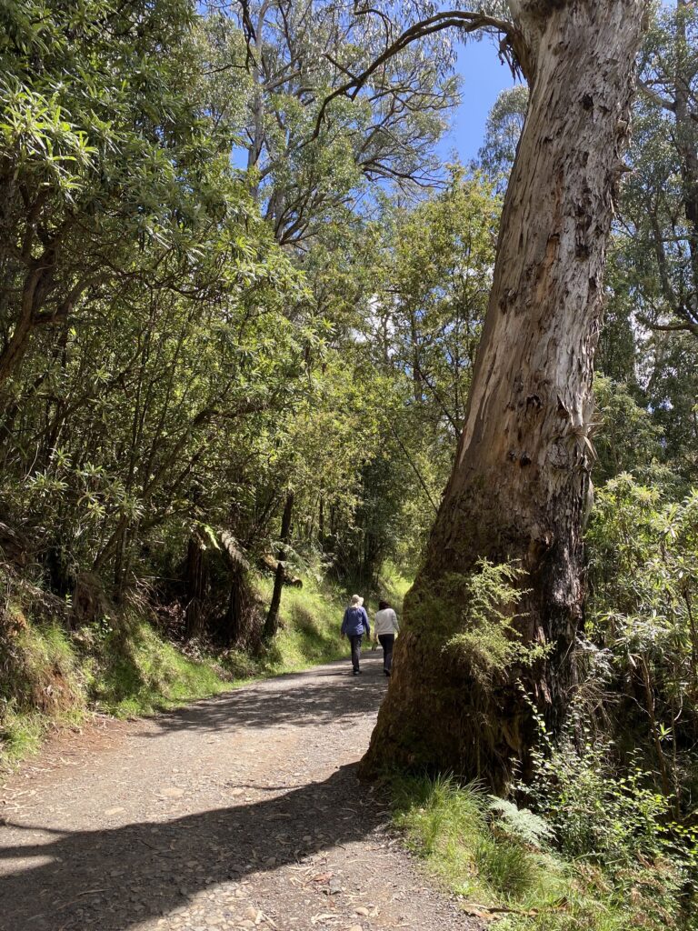
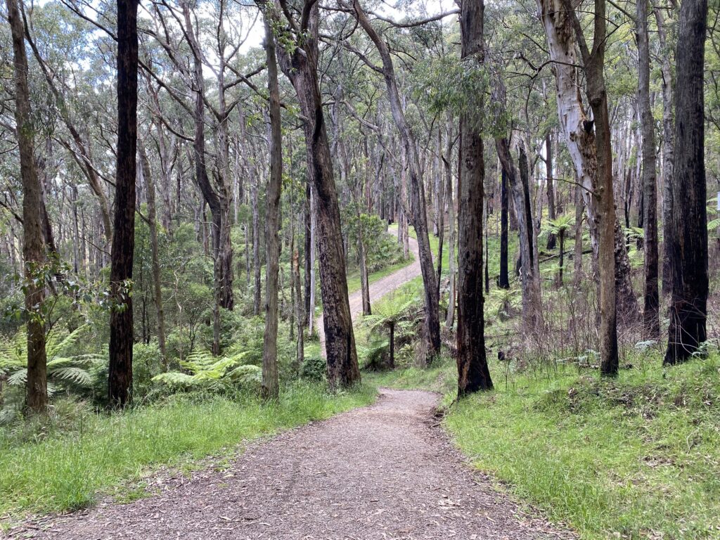
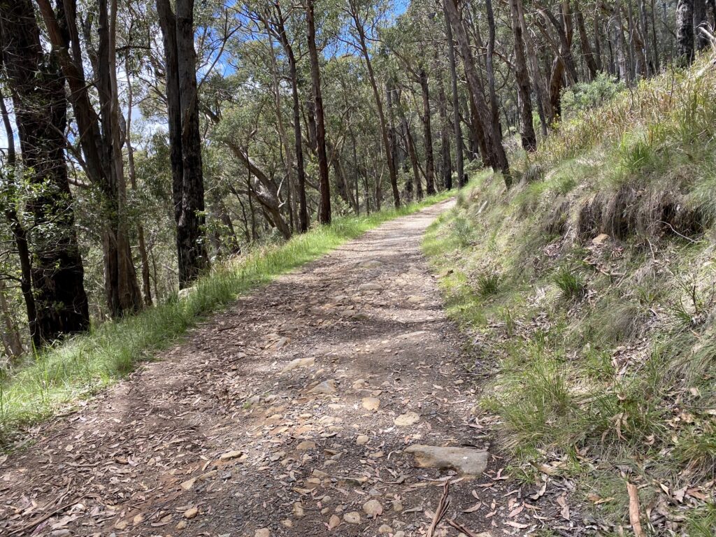
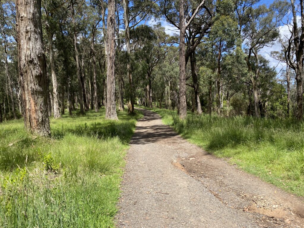
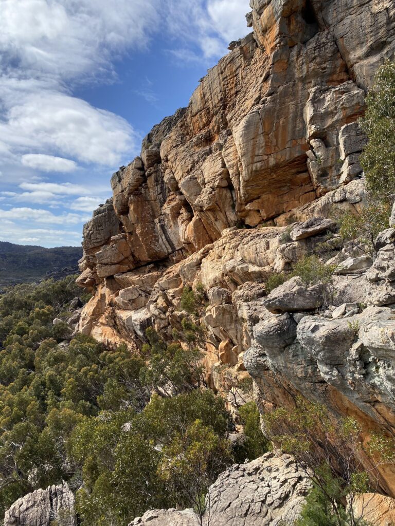
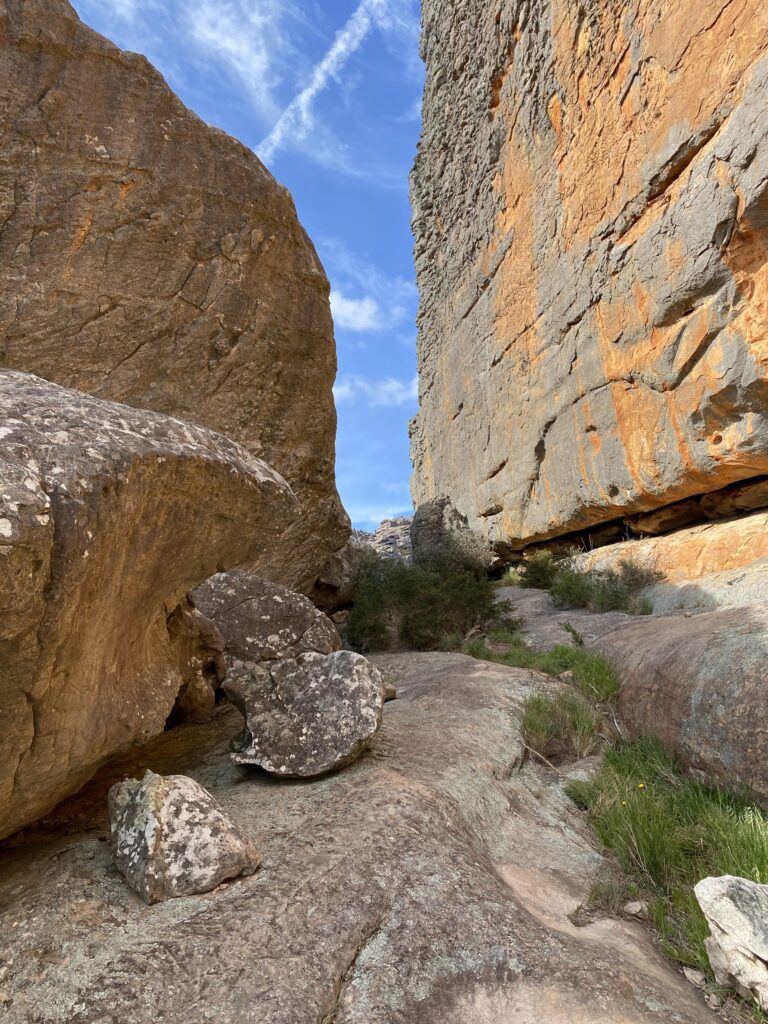
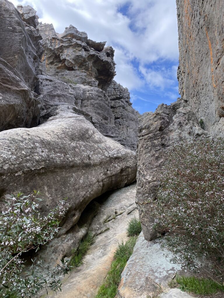
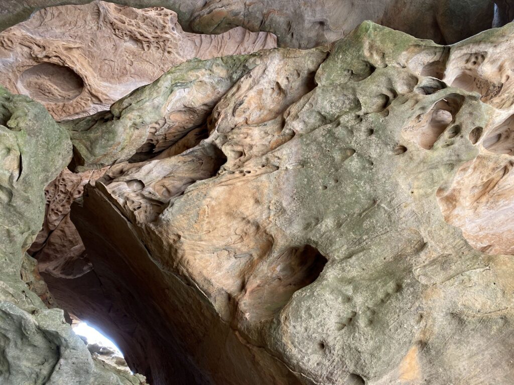
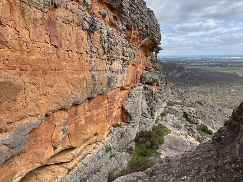
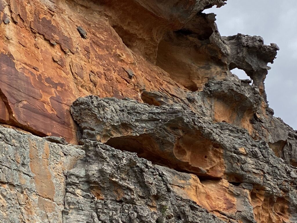
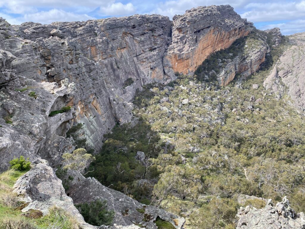
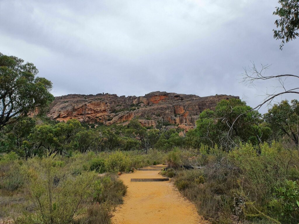
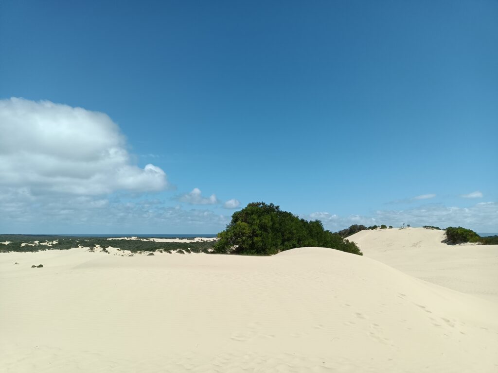
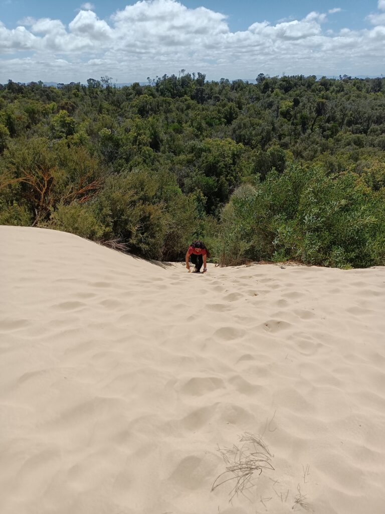
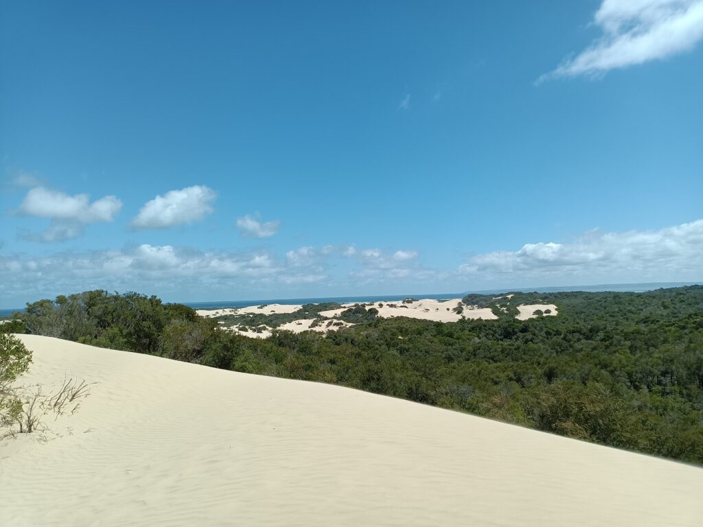
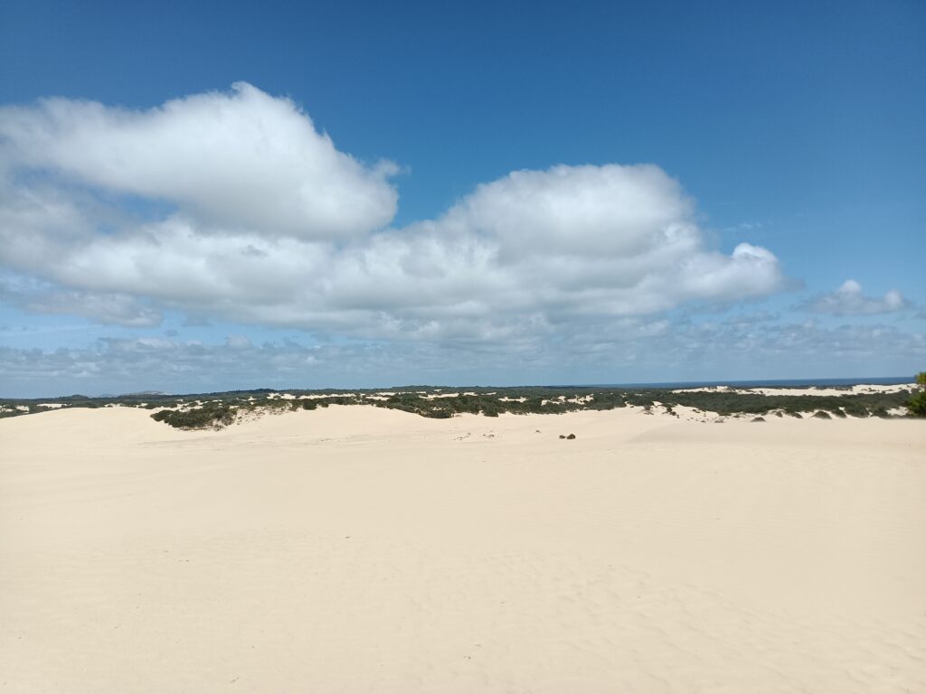
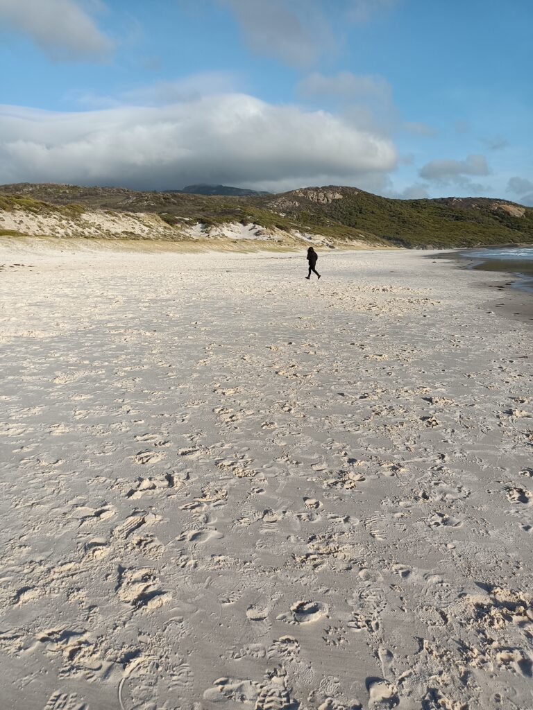
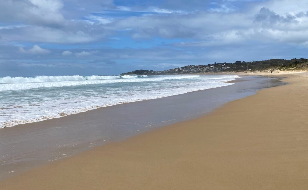
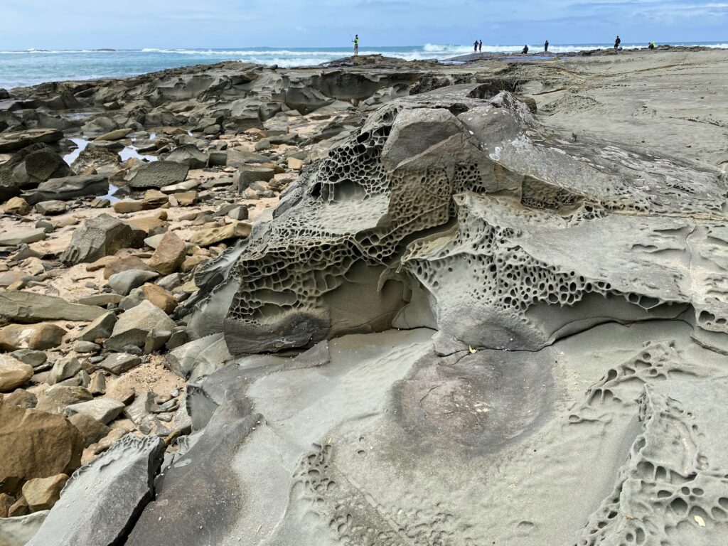
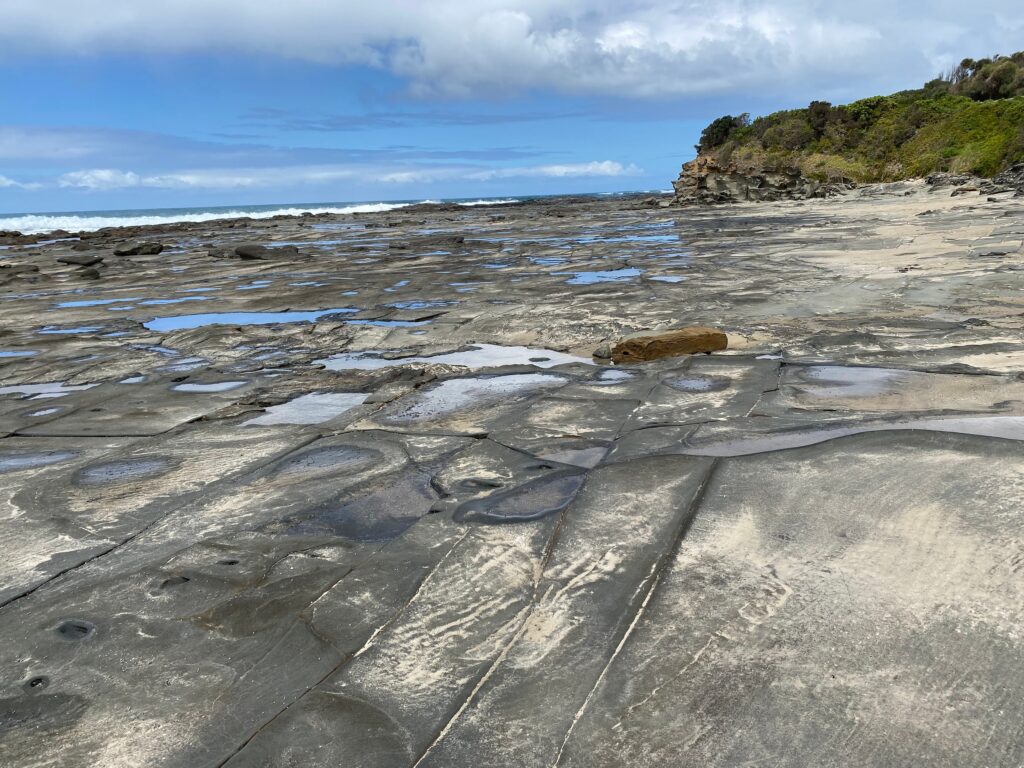
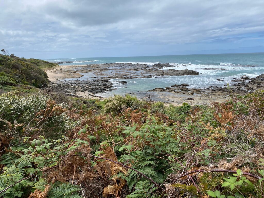
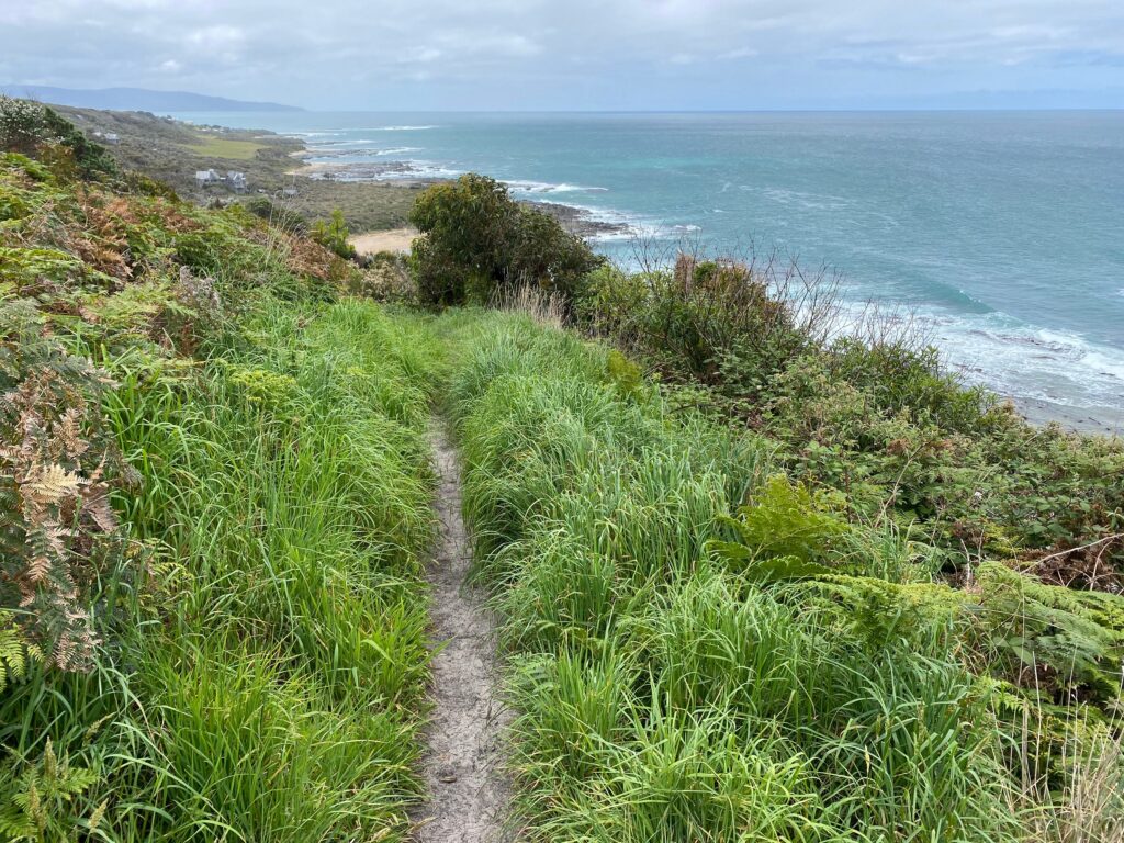
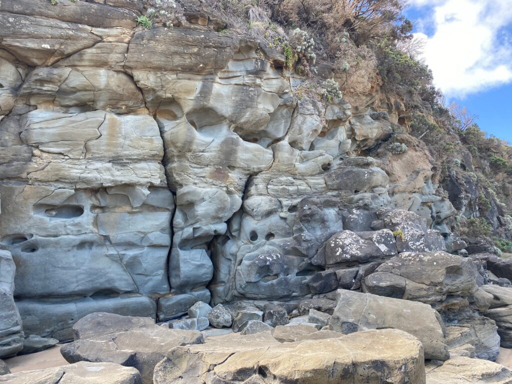
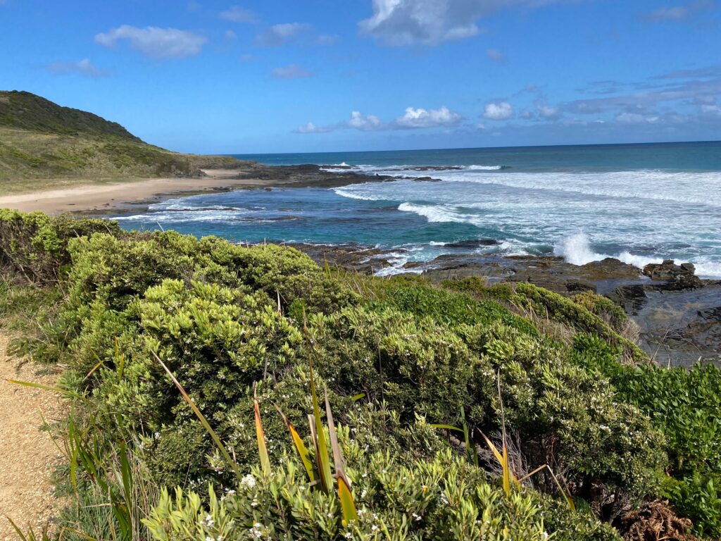
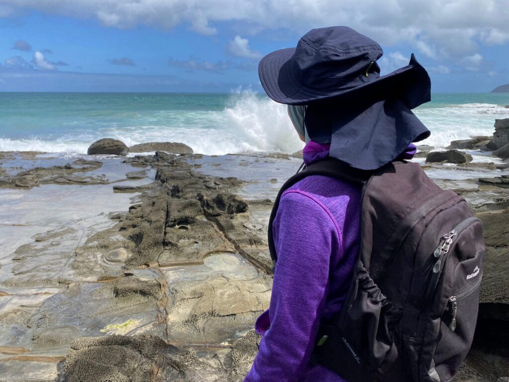
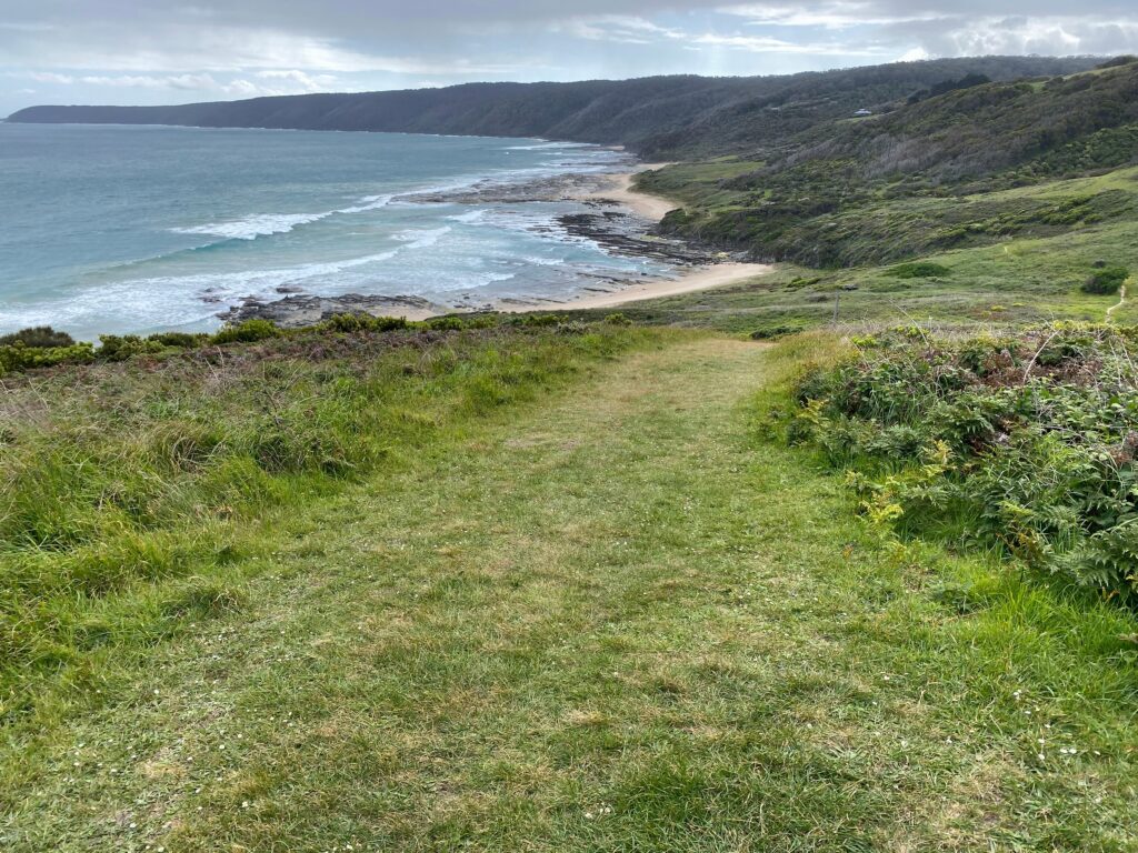
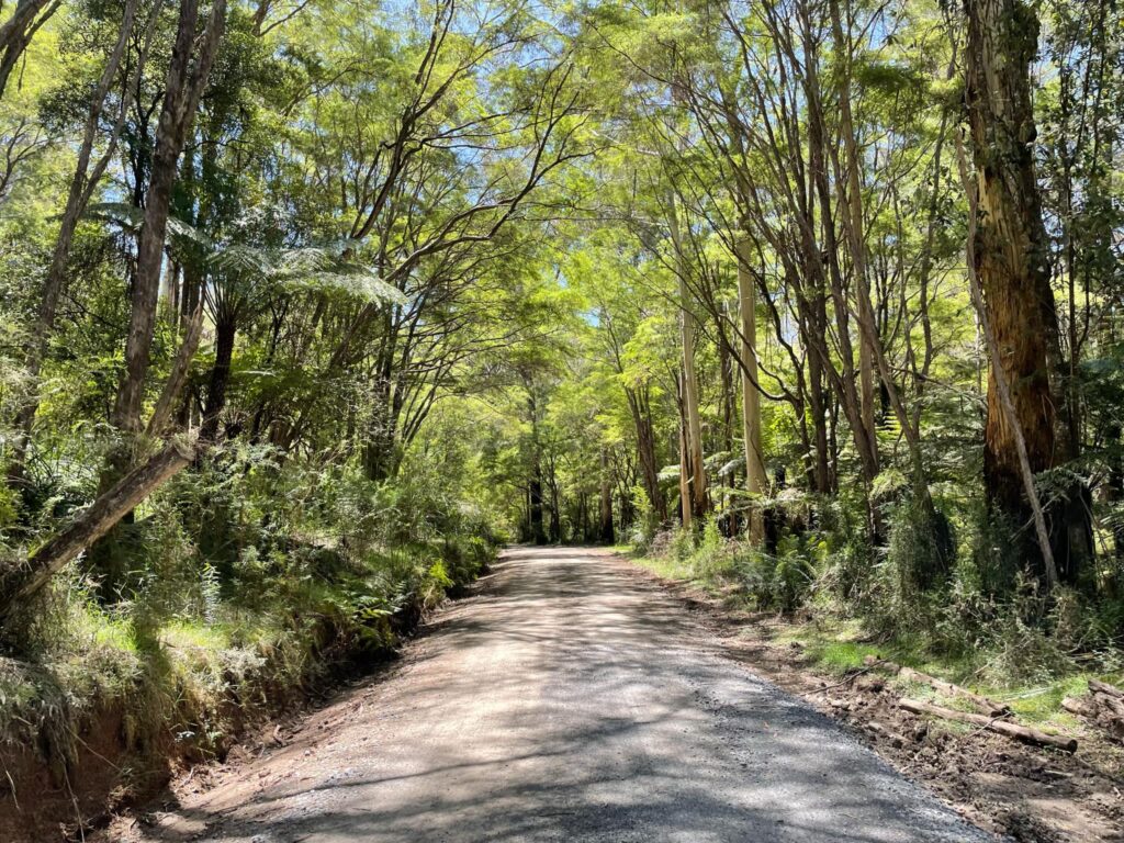
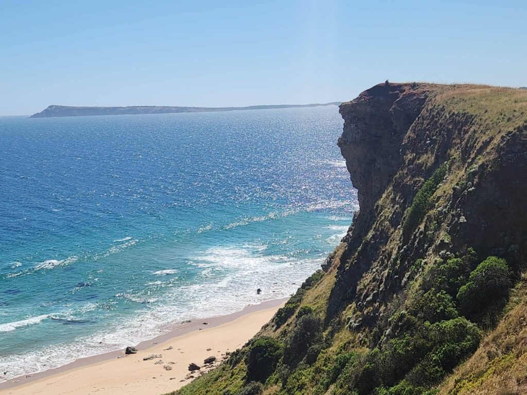
Our walk began at the end of Punch Bowl Road where the Bass Strait is quite impressive. The cliffs are exposed, and the ocean below is always in motion. As you journey toward Kilcunda, the trail winds through coastal scrub, farmland and cliff top paths. It’s mostly flat, but don’t let that fool you. There are some decent ups and downs, especially if you venture down to the beaches along the way.
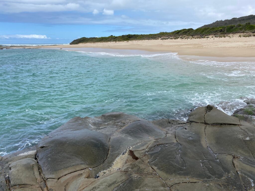
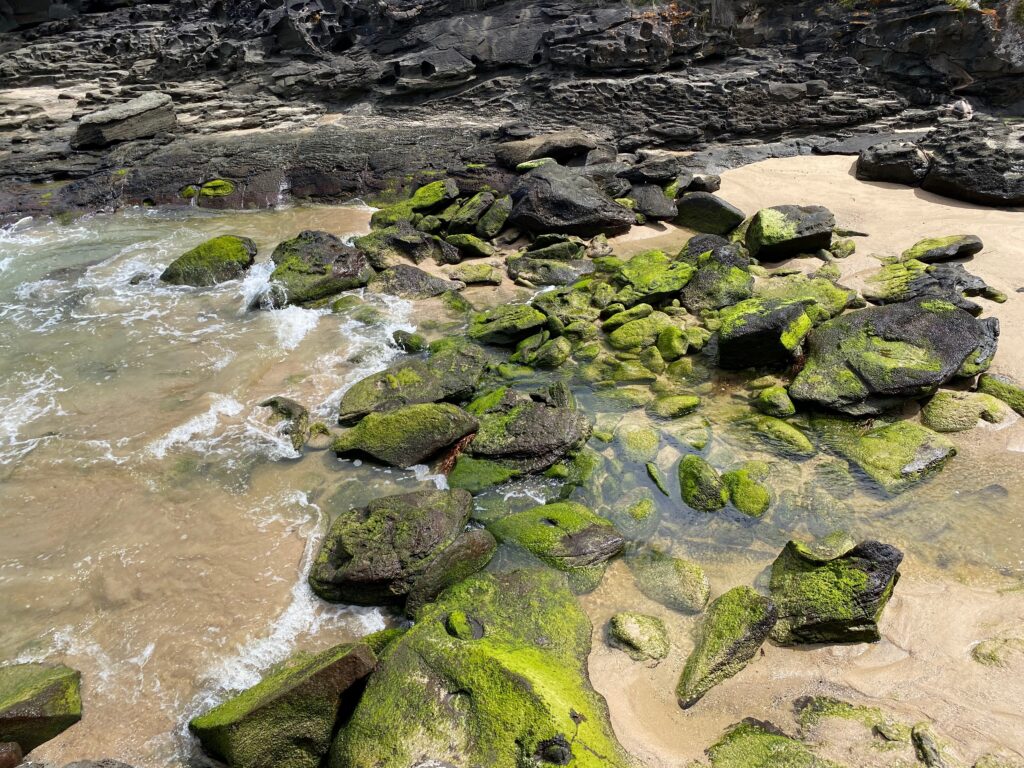
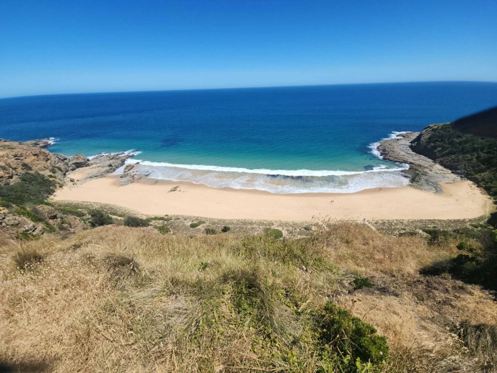
Half Moon Bay is a highlight and a must see. Descending onto the sand feels like stumbling upon a hidden part of the coast. The water is clear, the beach is pristine and it’s a great spot for a snack break or a quick dip on a warm day (be careful of rips).
The George Bass Coastal Trail is named after explorer George Bass who sailed this coastline in the late 1700s while mapping parts of Victoria. Kilcunda was once a busy coal mining town in the late 19th century. Remains of the old Kilcunda Coal Mine are still visible nearby adding to the character of a place that feels full of stories.
When it comes to difficulty, this hike is comfortably moderate. You don’t need to be an expert hiker, but a reasonable level of fitness helps, especially in the summer heat. Sturdy shoes are essential since parts of the trail can be uneven or exposed. Bring plenty of water and snacks to keep your energy up. There’s not much shade along the route, so sunscreen and a hat are necessary in the height of summer.
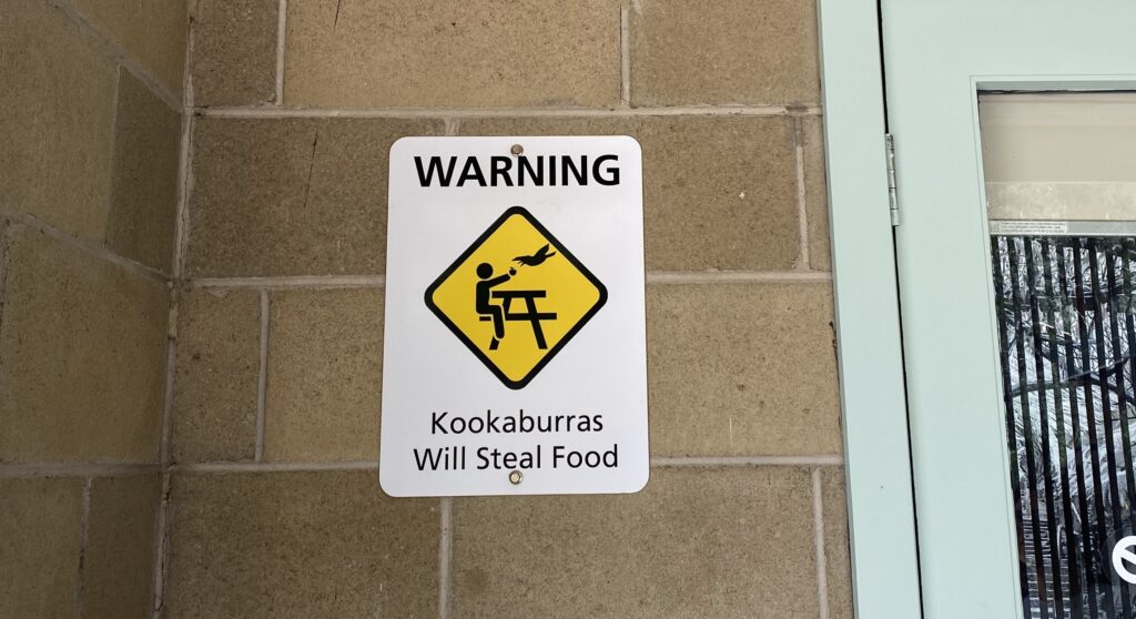
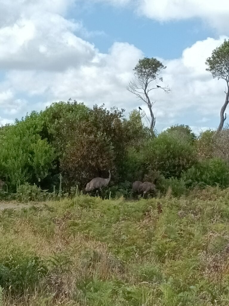
Dogs are welcome on this trail, making it a great option if you want to bring your furry friend along. Just keep them under control and be aware of wildlife.
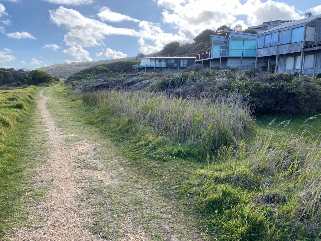
Reaching Kilcunda at the end feels rewarding in itself. After hours of ocean views and salty sea air, sitting down with a drink and reflecting on the hike is the perfect way to wrap things up. It’s one of those hikes that lingers in your memory, not because it’s extreme, but because it’s simply beautiful and unforgettable.
| Distance | 9 km one way |
| Estimated Time | 3 hours |
| Difficulty | moderate |
| Start from | Punchbowl |