We decided to go to Point Nepean National Park, even though it is almost a 2-hour drive from our home. We were lucky with the weather – it was sunny and warm.
By the time we arrived, it was already lunchtime. So, we started by having lunch next to the Gunner’s Cottage. The cottage itself was closed. There was a toilet nearby, but no drinking water, even though we saw a sign saying that it’s available here.
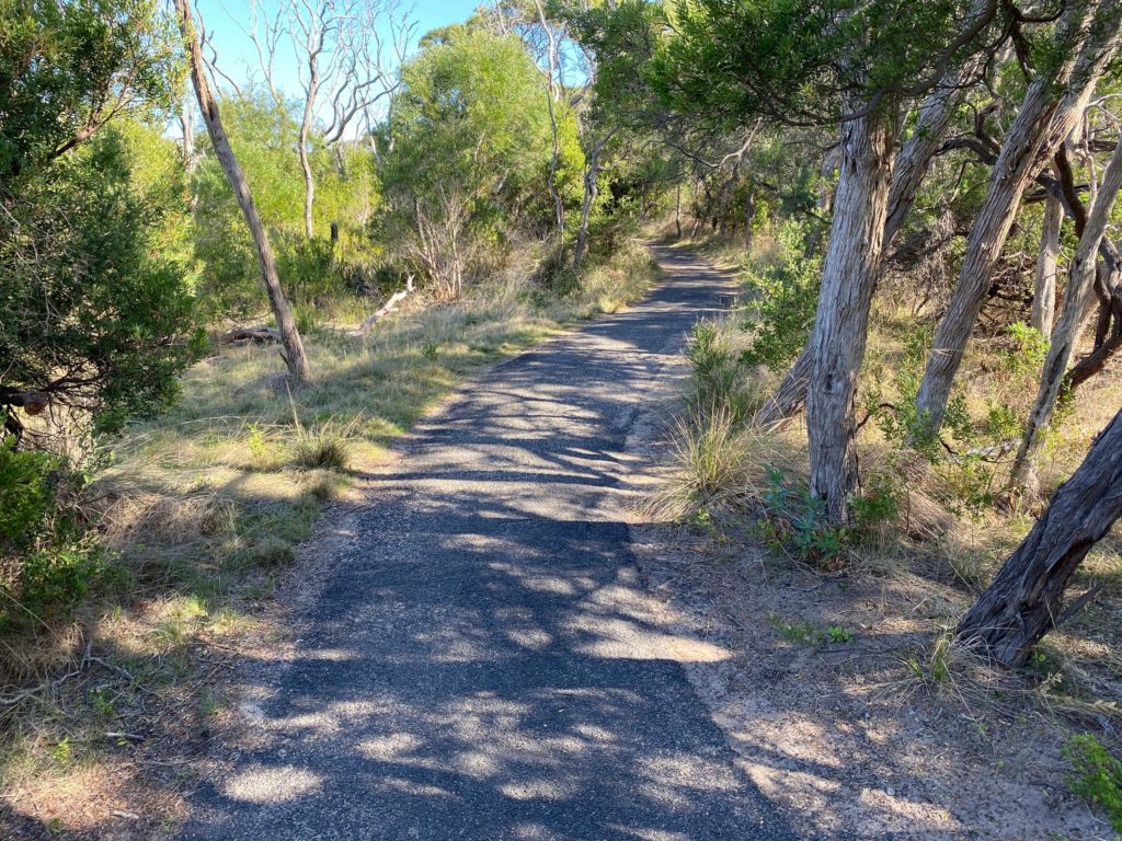
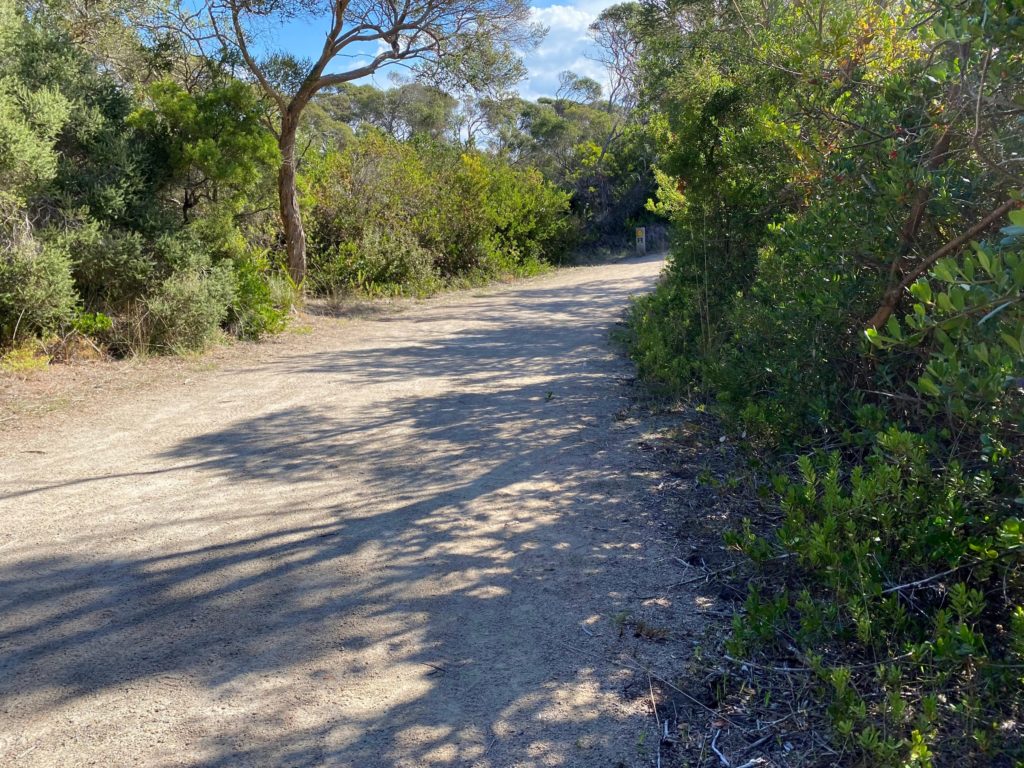
We started on the Walter Pisterman Track.
The sign reads:
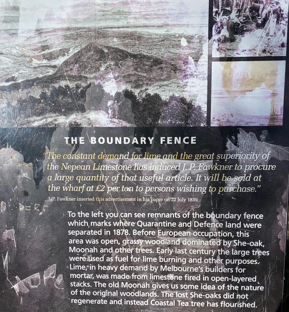
The Boundary Fence
The constant demand for lime and the great superiority of the Nepean Limestone has induced J. P. Fawkner to procure a large quantity of that useful article. It will be sold at the wharf at £2 per ton to persons wishing to purchase.”
JAP. Fawkner inserted this advertisement in his paper on 22 July 1839.
To the left you can see remnants of the boundary fence which marks where Quarantine and Defence land were separated in 1878. Before European occupation, this area was open, grassy woodland dominated by She-oak, Moonah and other trees. Early last century the large trees were used as fuel for lime burning and other purposes. Lime, in heavy demand by Melbourne’s builders for mortar, was made from limestone fired in open-layered stacks. The old Moonah gives us some idea of the nature of the original woodlands. The lost She-oaks did not regenerate and instead Coastal Tea tree has flourished.
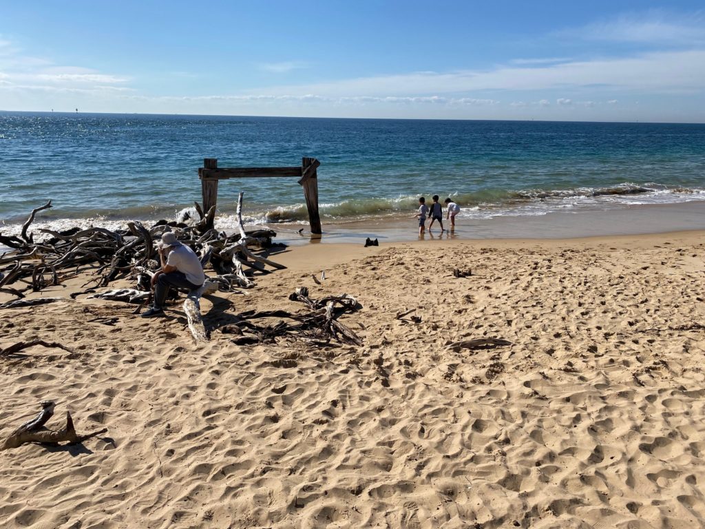
We walked past the cemetery and reached the remains of the Cattle Quarantine Jetty.
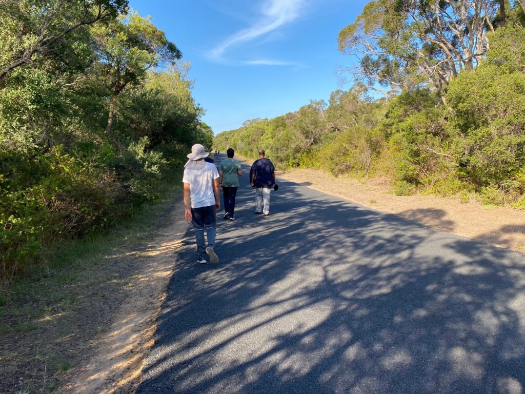
We walked on the Coles Track then.
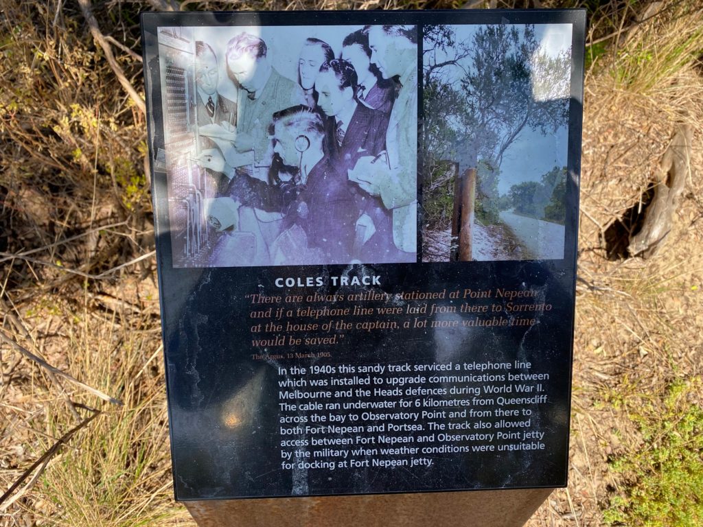
The sign reads:
COLES TRACK
“There are always artillery stationed at Point Nepean and if a telephone line were laid from there to Sorrento at the house of the captain, a lot more valuable time would be saved.”
The Argus, 13 March 1905.In the 1940s this sandy track serviced a telephone line which was installed to upgrade communications between Melbourne and the Heads defences during World War II. The cable ran underwater for 6 kilometres from Queenscliff across the bay to Observatory Point and from there to both Fort Nepean and Portsea. The track also allowed access between Fort Nepean and Observatory Point jetty by the military when weather conditions were unsuitable for docking at Fort Nepean jetty.
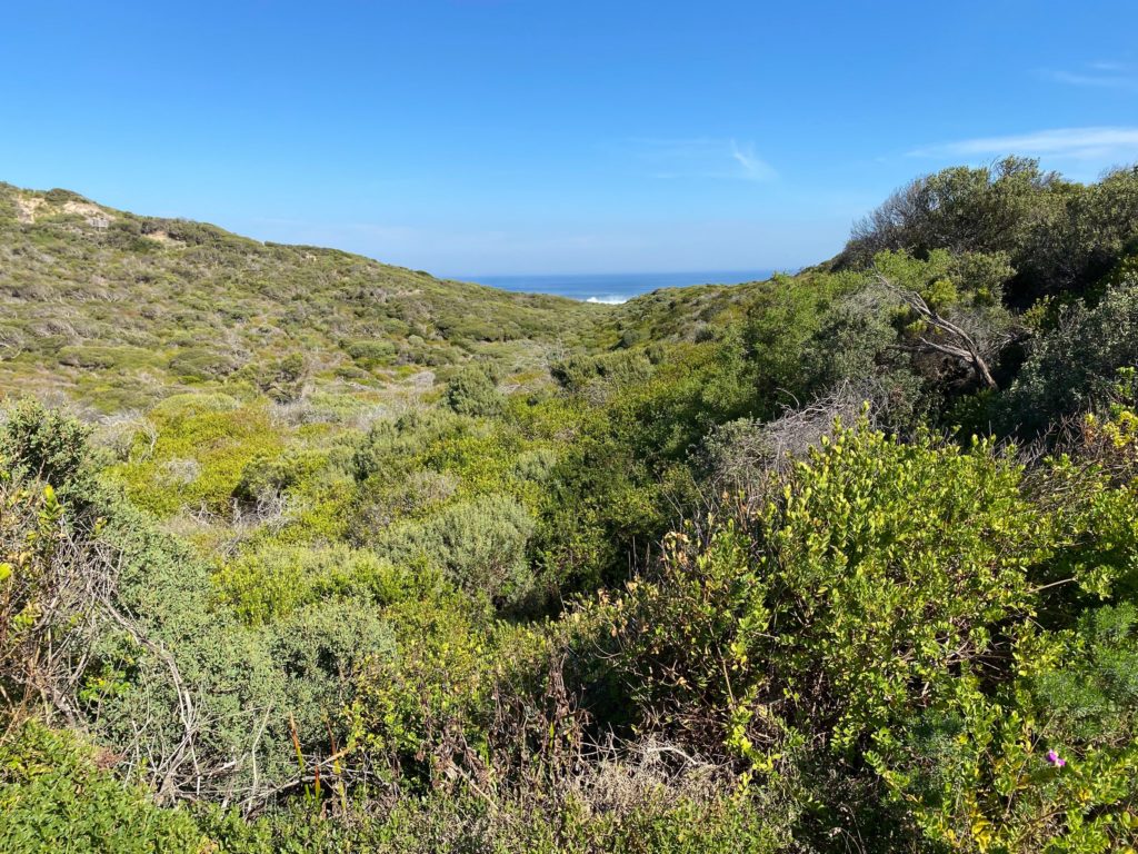
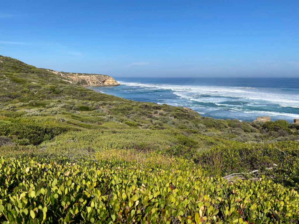
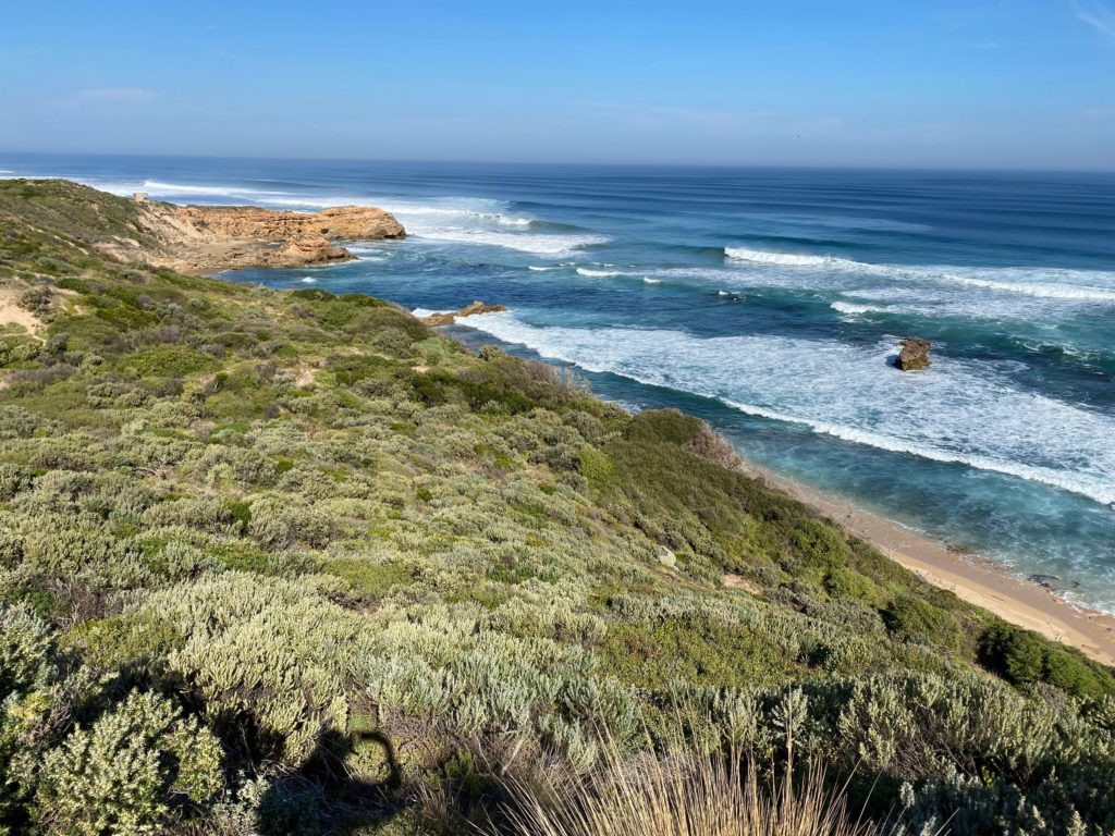
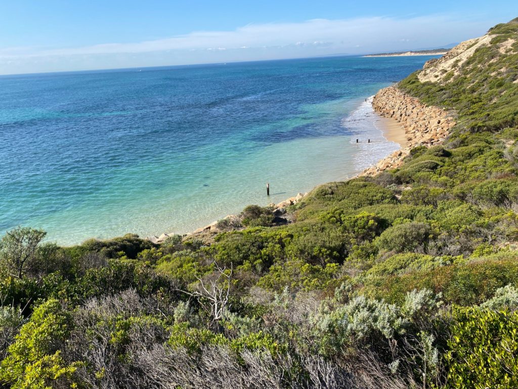
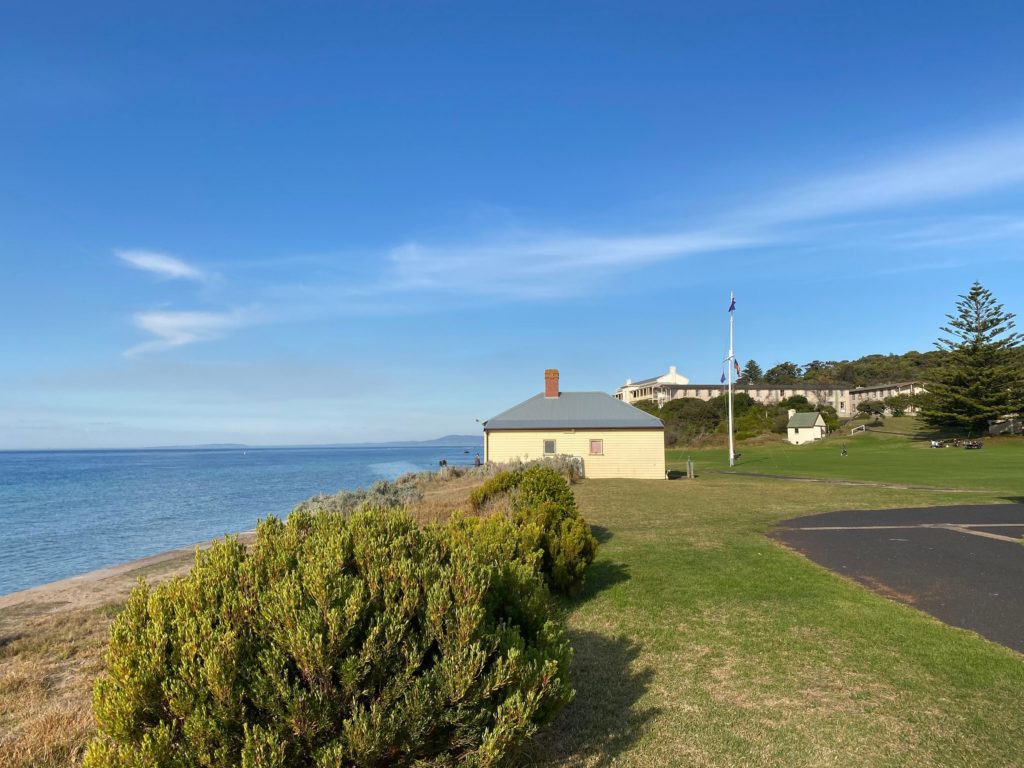
We visited a lookout overlooking the Cheviot Beach where Australian prime minister disappeared.
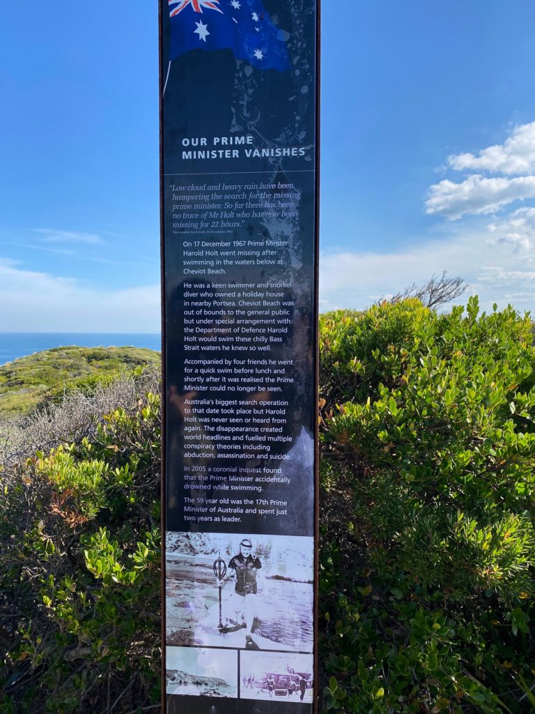
OUR PRIME MINISTER VANISHES
“Low cloud and heavy rain have been hampering the search for the missing prime minister. So far there has been no trace of Mr Holt who has now been missing for 22 hours.”On 17 December 1967 Prime Minster Harold Holt went missing after swimming in the waters below at Cheviot Beach.
He was a keen swimmer and snorkel diver who owned a holiday house in nearby Portsea. Cheviot Beach was out of bounds to the general public but under special arrangement with the Department of Defence Harold Holt would swim these chilly Bass Strait waters he knew so well.
Accompanied by four friends he went for a quick swim before lunch and shortly after it was realised the Prime Minister could no longer be seen.
Australia’s biggest search operation to that date took place but Harold Holt was never seen or heard from again. The disappearance created world headlines and fuelled multiple conspiracy theories including abduction, assassination and suicide.
In 2005 a coronial inquest found that the Prime Minister accidentally drowned while swimming.
The 59 year old was the 17th Prime Minister of Australia and spent just two years as leader.
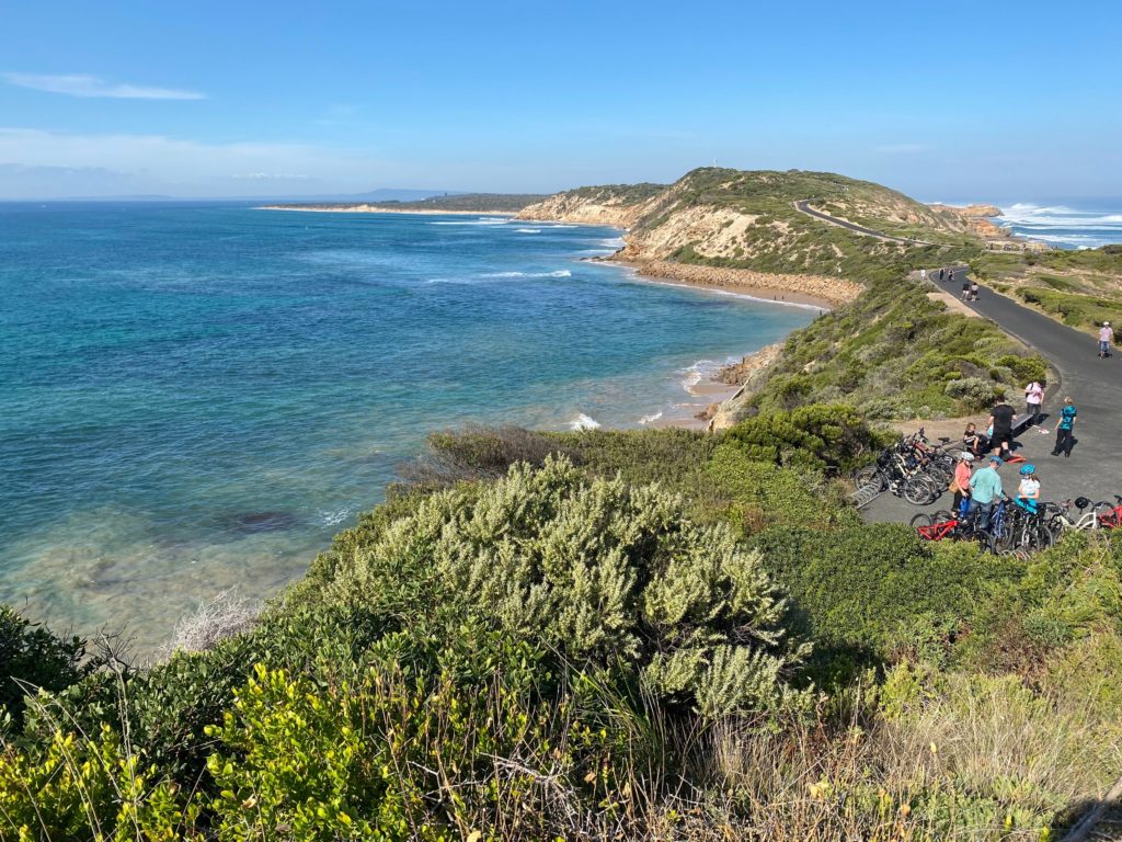
Great ocean and bay views from Fort Pearce.
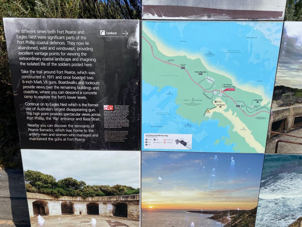
The sign reads:
At different times both Fort Pearce and Eagles Nest were significant parts of the Port Phillip coastal defences. They now lie abandoned, wild and windswept, providing excellent vantage points for viewing the extraordinary coastal landscape and imagining the isolated life of the soldiers posted here.
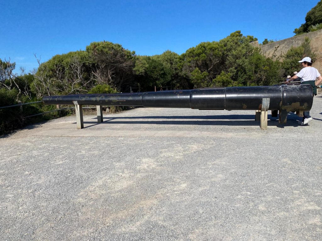
Take the trail around Fort Pearce, which was constructed in 1911 and once boasted two 6-inch Mark VII guns. Boardwalks and lookouts provide views over the remaining buildings and coastline, where you can descend a concrete ramp to explore the fort’s lower levels.
Continue on to Eagles Nest which is the former site of Australia’s largest disappearing gun. This high point provides spectacular views across Port Phillip, the ‘Rip’ entrance and Bass Strait.
Nearby you can discover the remnants of Pearce Barracks, which was home to the artillery men and women who managed and maintained the guns at Fort Pearce.
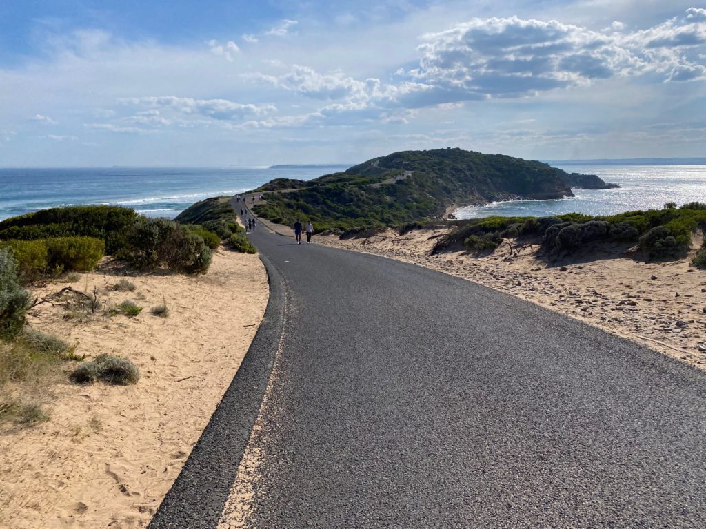
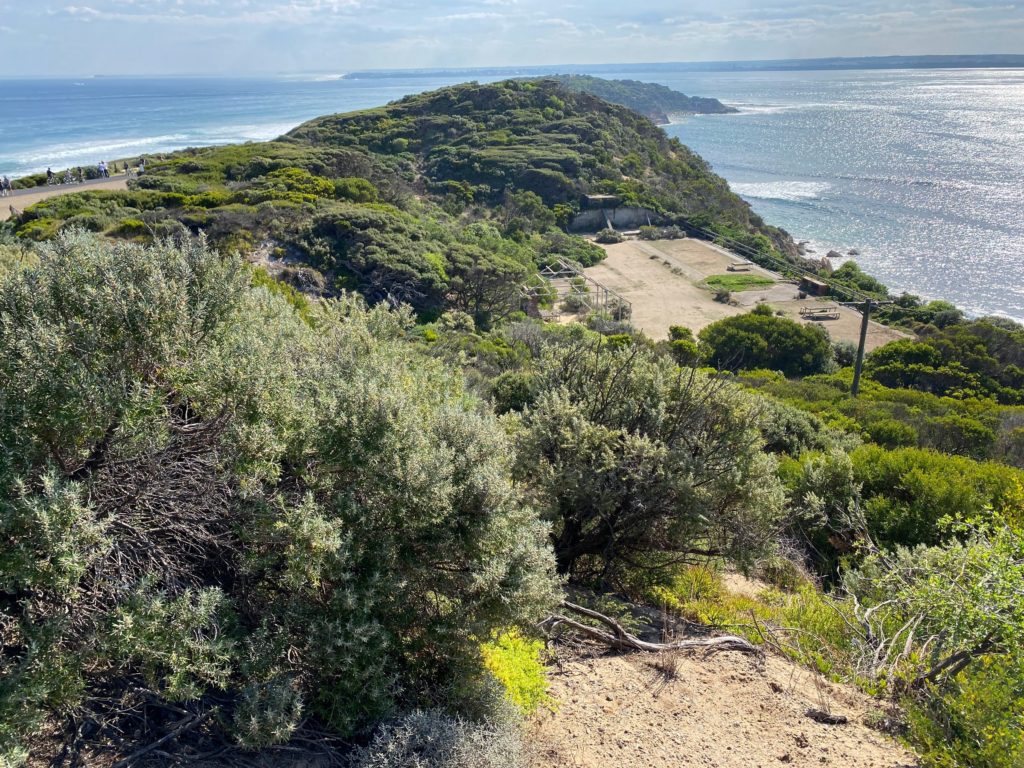
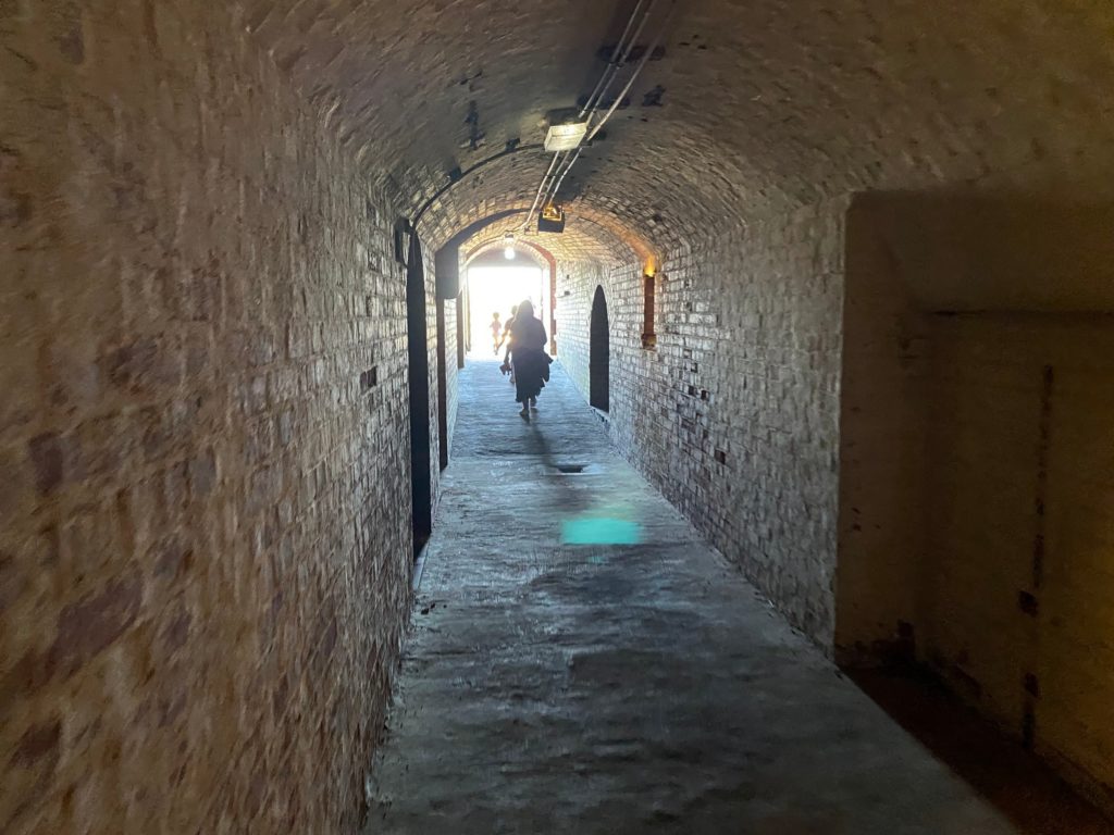
We reach Fort Nepean after walking for about 1 hour.
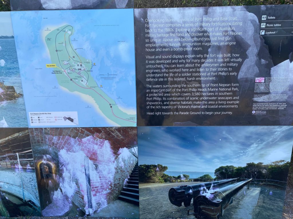
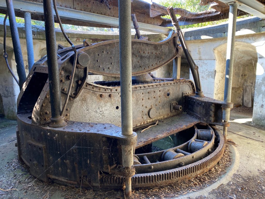
Overlooking stunning views of Port Phillip and Bass Strait, Fort Nepean comprises a series of military fortifications dating back to the 1880s. Explore a significant part of Australia’s military heritage first-hand and discover what makes Fort Nepean so unique. Above and below ground you will find gun emplacements, tunnels, ammunition magazines, an engine house and even a bomb-proof room.
Visual and sound displays explain why the fort was built, how it was developed and why for many decades it was left virtually untouched. You can learn about the artillerymen and military engineers who worked here and listen to their stories to understand the life of a soldier stationed at Port Phillip’s early defence site in this isolated, harsh environment.
The waters surrounding the southern tip of Point Nepean form an important part of the Port Phillip Heads Marine National Park, a protected area which covers 3,580 hectares in southern Port Phillip. Its combination of scenic underwater seascapes and shipwrecks, and diverse habitats make this area a living example of the rich tapestry of Victoria’s marine and coastal environments.
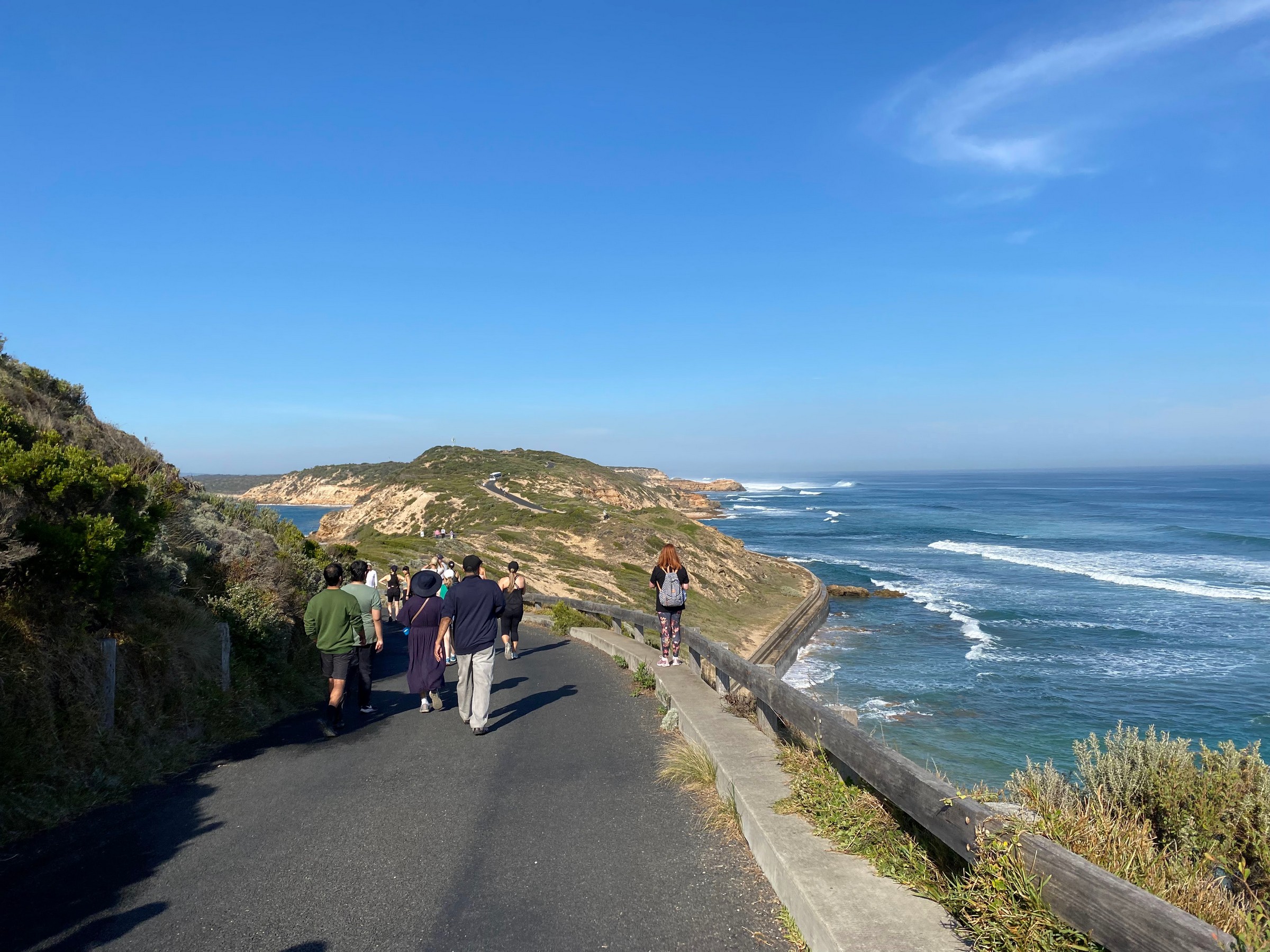
We decided to return on the road – it was closer and there were no cars except a shuttle bus.
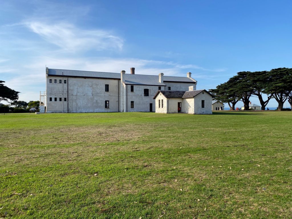
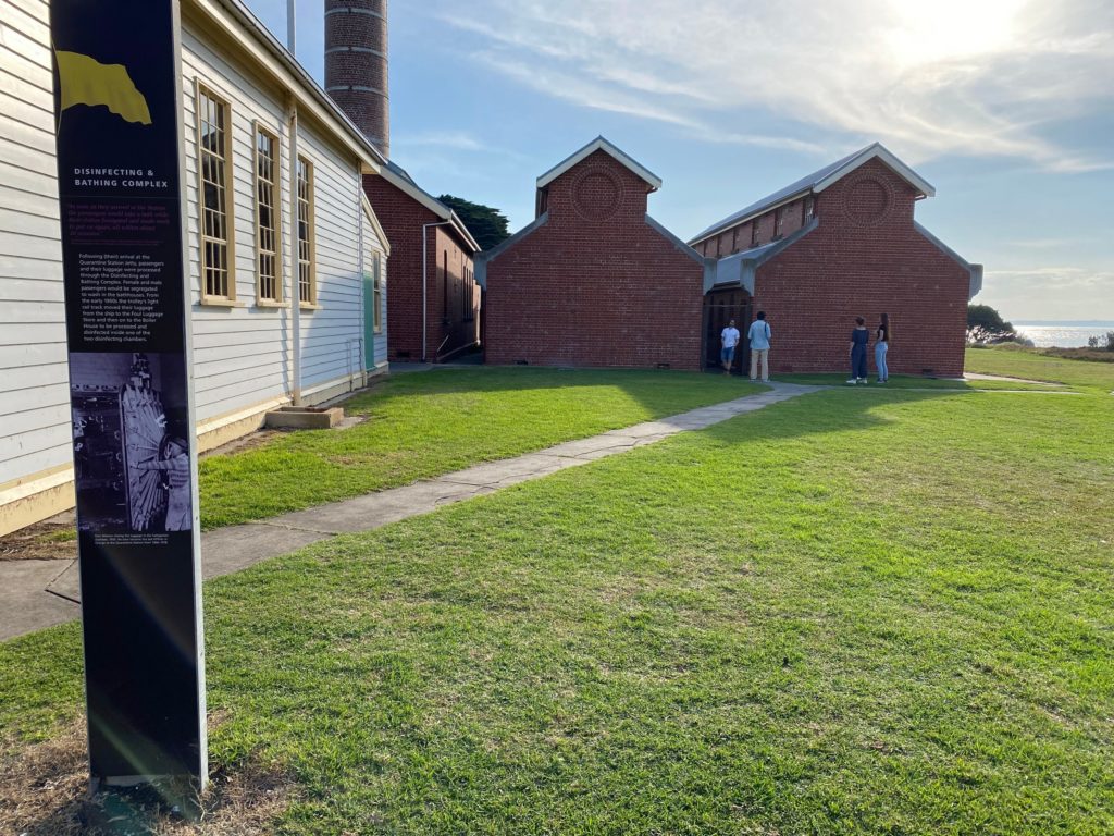
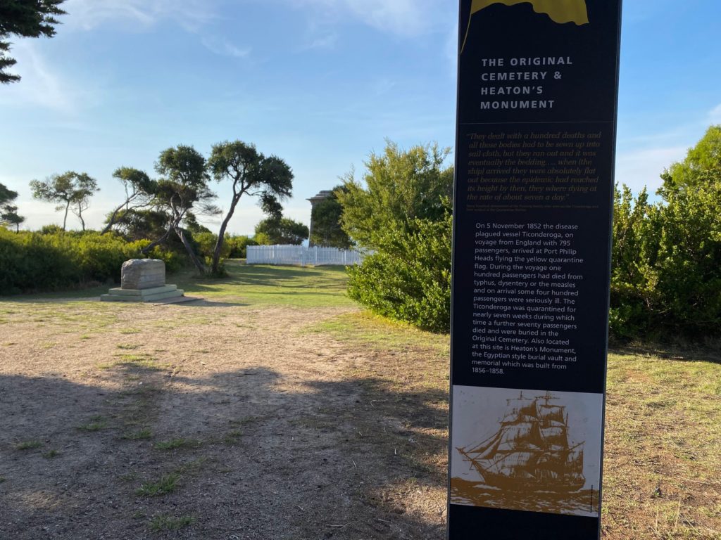
After returning to our car, we drove to the Quarantine Station and spent about an hour exploring the old buildings.
The sign reads:
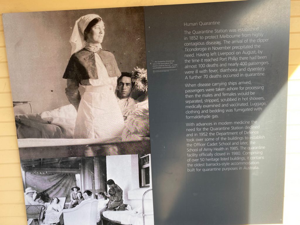
Human Quarantine
The Quarantine Station was established in 1852 to protect Melbourne from highly contagious diseases. The arrival of the clipper Ticonderoga in November precipitated the need. Having left Liverpool on August, by the time it reached Port Phillip there had been almost 100 deaths and nearly 400 passengers were ill with fever, diarrhoea and dysentery. A further 70 deaths occurred in quarantine.When disease carrying ships arrived, passengers were taken ashore for processing then the males and females would be separated, stripped, scrubbed in hot showers, medically examined and vaccinated. Luggage, clothing and bedding was fumigated with formaldehyde gas.
With advances in modern medicine the need for the Quarantine Station declined and in 1952 the Department of Defence took over some of the buildings to establish the Officer Cadet School and later, the School of Army Health in 1985. The quarantine facility officially closed in 1980. Comprising of over 50 heritage listed buildings, it contains the oldest barracks-style accommodation built for quarantine purposes in Australia.
Overall, it was a great walk and a fascinating historical place.