First, I would like to acknowledge both the Eastern Maar peoples and the Wadawurrung peoples of the Kulin Nations as the traditional owners of the Great Otway National Park. I want to pay my respects to the past, present and any Indigenous people among us today. I also want to acknowledge that I have profited and benefited from stolen land and that Indigenous people were never ceded sovereignty. Finally, I would like to acknowledge the Wurundjeri peoples of, Naarm, where I sit and write this blog and would like to acknowledge the traditional owners of the many lands my readers come from.
The first morning waking up on the trail of a multi-day is always exciting. Being immersed in the beautiful Great Otway National Park eucalypts is absolutely stunning. Elliot Ridge to Cape Otway includes more inland walking than the first day from Apollo Bay to Elliot Ridge. Although there are still two beach sections to walk at Blanket Bay and Parker Inlet, remember to be aware of the tide times. The final destination for the day is Cape Otway. Although there is a lighthouse here we were not aware of the strict opening times and entry fees, I have never actually visited it. It is said to be the oldest surviving lighthouse on mainland Australia. Luckily there is car access so it is not imperative to include this in the multi-day trek.
We began walking early in the morning, knowing we had a big day ahead. The 11km inland trek along the 4WD management tracks is very manageable. We first hiked along Elliot Rd in a westerly direction for 4.9km, at the T intersection the road turns southwest onto Parker Spur Rd. We hiked along Parker Rd for 1.9km before taking the northeast turn onto Johnson Track. Be aware of snakes throughout this section as I have seen them here before. At the next intersection, we took Blanket Bay Track in a southerly direction for 1.2km. We turned southeast onto Telegraph Track (finally a walking track) and hiked along here for 2km this is where the descent becomes more obvious. The final 500m of this track is the steepest gradient of the entire day with an elevation loss of 70m. This is a great challenge and makes the Blanket Bay view even more rewarding.
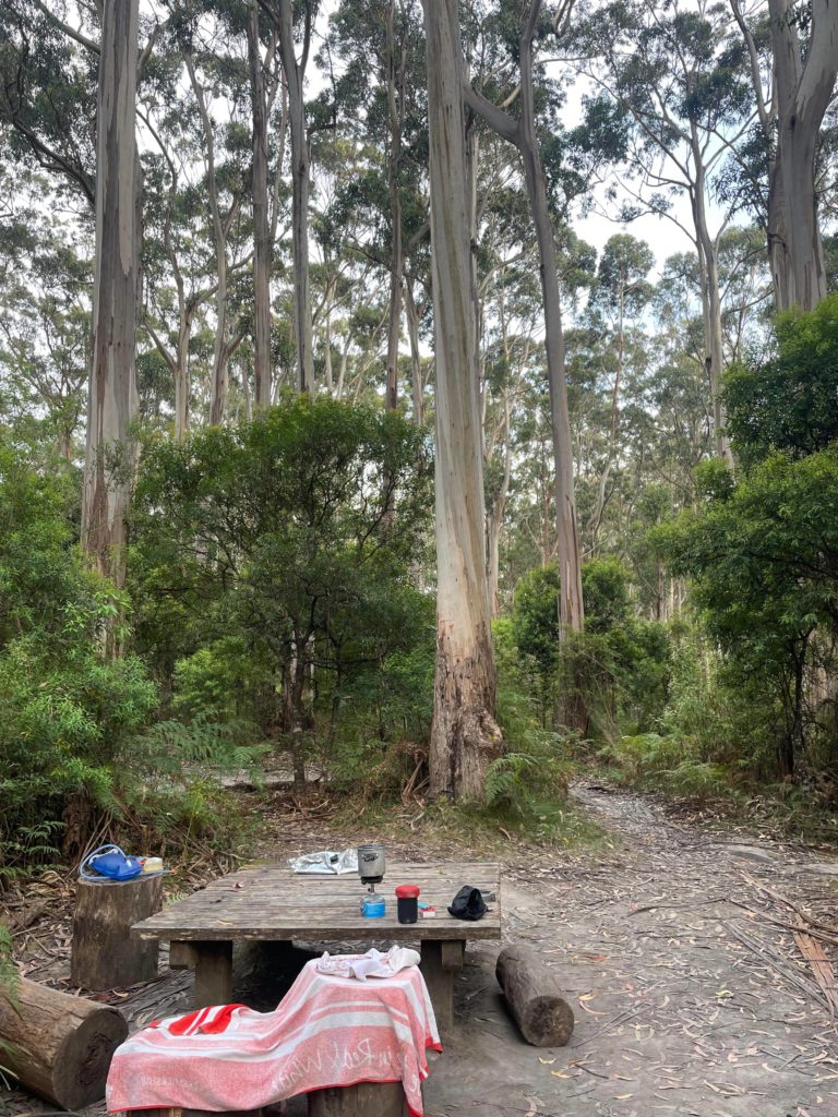
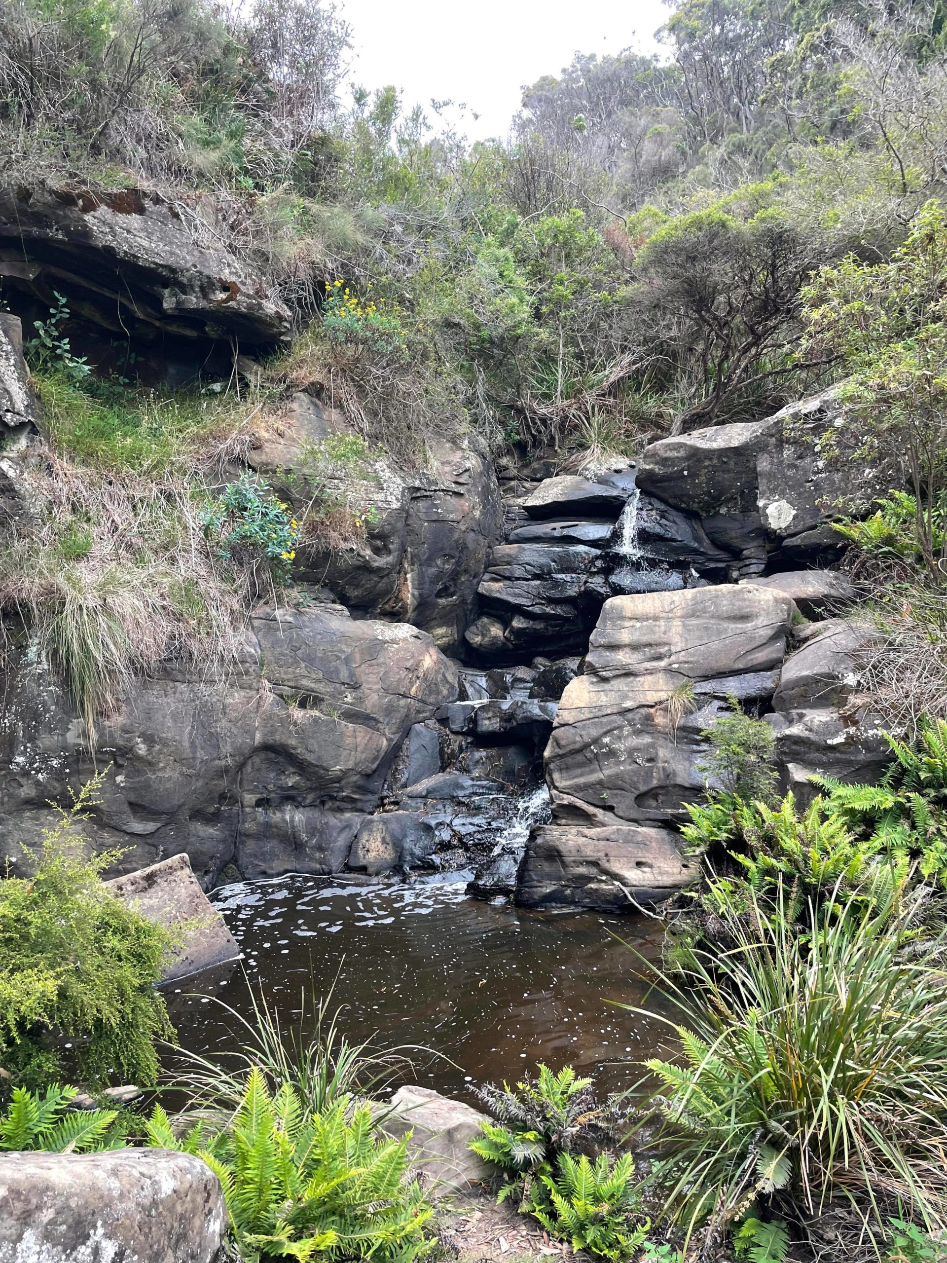
Unfortunately, I have no photos of Blanket Bay Campground but it’s beautiful and very popular, often booked out. It has beach access and views of the ocean from some campsites, and there is a little inland waterfall to explore. The facilities include toilets, tank water, fireplaces, a car park and a boat ramp. Certain campsites and toilets here have been made accessible for wheelchair users. I highly recommend booking a campsite if one becomes available for your trip. For our trek, we had an early lunch here and a well-earned rest.
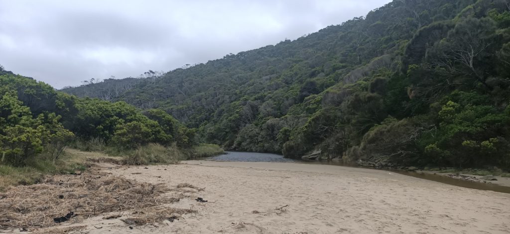
After lunch, we hiked towards Parker Inlet. The only hiking option is an inland route due to the impassable coastline. Parker Inlet is very peaceful, we crossed the river at low tide and enjoyed a quick snack here. We saw a family who had parked their car at Parker Hill Campground and walked 300m down to the river and beach for a day trip. I would love to go back and explore this camping option.
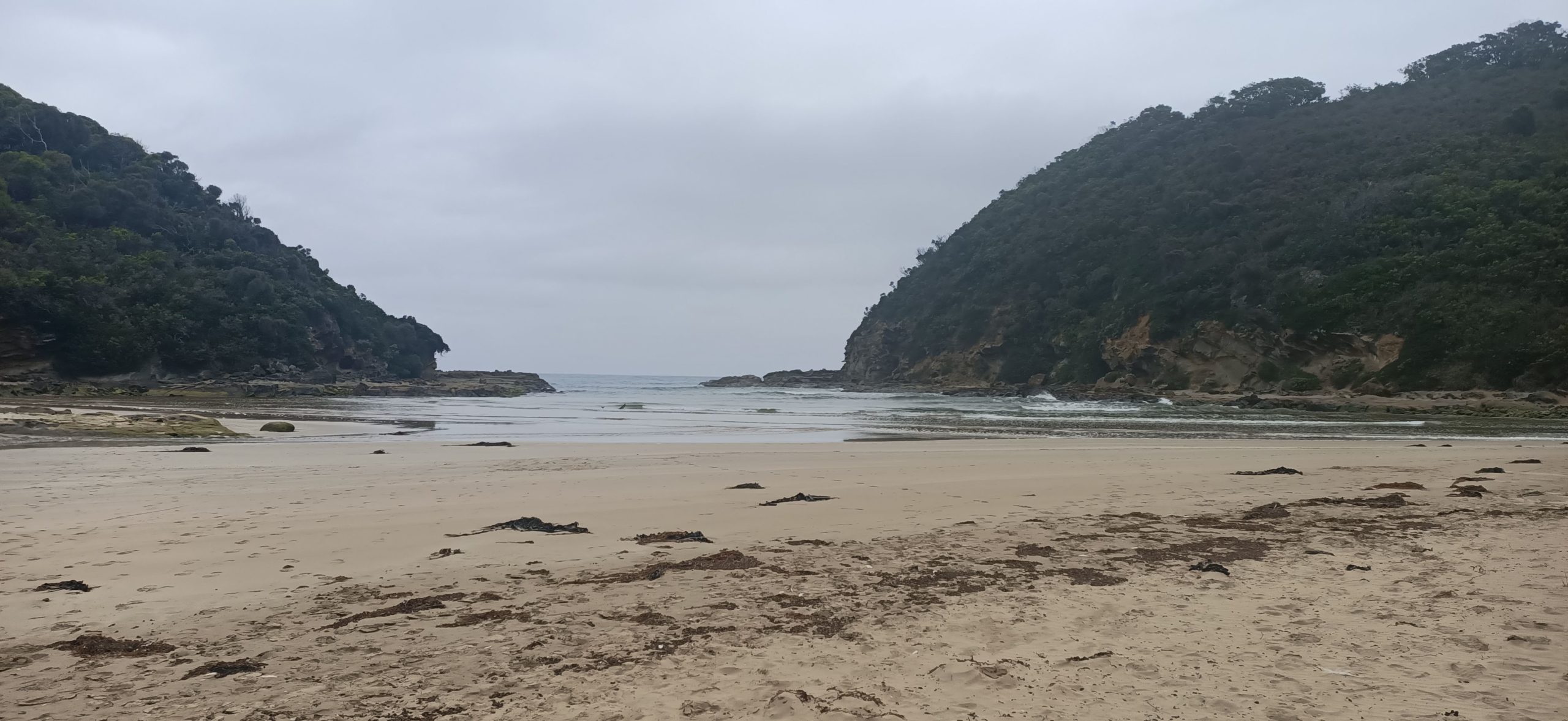
From Parker Inlet, we hiked passed Crayfish Bay and onwards to Cape Otway Hike-In Campground. This was the final 5.9 km of the day. Again the trail was inland due to the impassable coastline but this time we were very close to the edge of the cliff so much more scenic. If the tides are right you can explore the rockpools at Crayfish Bay. We continued on to the Lighthouse keen to find camp and start on dinner. We first came across the Cape Otway Lightstation Carpark where there were toilets and a small closed information centre and realised the lighthouse was only accessible with a ticket and at certain times. We continued on and made the final push of 700m to the hike-in campsite, north of the carpark and lighthouse.
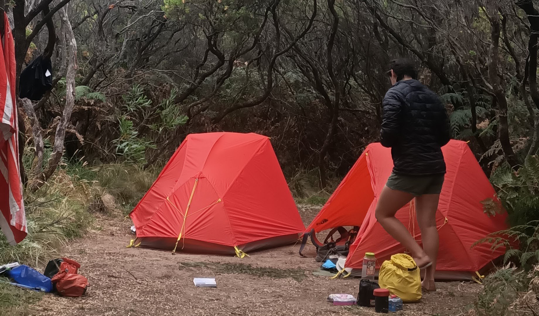
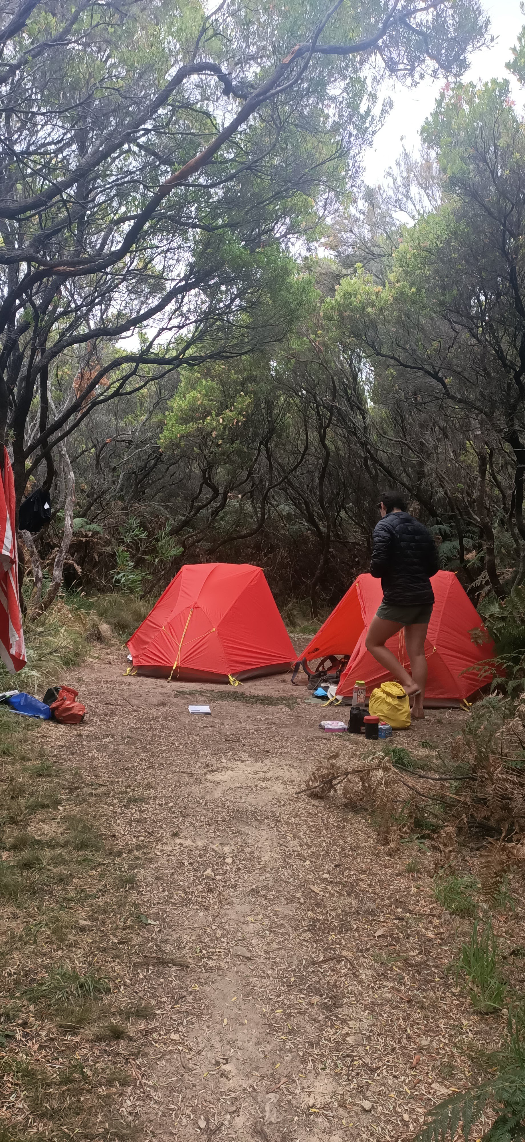
This campsite was very well protected by tea trees and coastal scrub. There were toilets, a communal shelter, and a water tank at this campsite. We enjoyed our dinner in the shelter and met some fellow hikers that were also attempting the multi-day trek. We rounded out the night with some Monopoly Deal before crawling into our tents for a well-deserved rest.
If you were adjusting this multi-day trek section into a day walk, I would recommend choosing between either shortening it into two-day walks or completing it in one day.
- If you did the entire thing as a day trip you could start from the Shelly Beach Picnic Area, adding 3.2km to the day (26.2km). This length of a trek would only be advised for experienced day trippers. Although you could have the redundancy of relying on Blanket Bay Campground midway, as an alternate finish point, if it became too long for you to manage.
- To make it more manageable you could split it into two-day trips. On the first day, you could walk from Shelly Beach Picnic Area to Blanket Bay Campground (15.2km) which has car access and toilets. The second-day trip would include Blanket Bay Campground to Cape Otway Lightstation Carpark (11km), where there is also car access and toilets again. I would probably suggest the latter as there are more scenic views this way.
Both of these options would require car shuttling or a support vehicle to meet you at the finish point.
| Trail Name | Great Ocean Walk – Elliot Ridge to Cape Otway Hike-In Campground |
| Distance | 23km |
| Estimated Time | 8.5hrs |
| Grade | 3 |
| Type | One Way – East to West |
| Park | Great Otway National Park |
| Access | Hike-in only (2WD access from Cape Otway Lighthouse) |
| Trail Name | Great Ocean Walk – Shelly Beach Picnic Area to Blanket Bay Campground |
| Distance | 15.2km |
| Estimated Time | 5hrs |
| Grade | 2 |
| Type | One Way – East to West |
| Park | Great Otway National Park |
| Access | 2WD |
| Trail Name | Great Ocean Walk – Blanket Bay Campground to Cape Otway Lightstation Carpark |
| Distance | 11km |
| Estimated Time | 3.5hrs |
| Grade | 2-3 |
| Type | One Way – East to West |
| Park | Great Otway National Park |
| Access | 2WD |