First, I would like to acknowledge both the Eastern Maar peoples and the Wadawurrung peoples of the Kulin Nations as the traditional owners of the Great Otway National Park. I want to pay my respects to the past, present and any Indigenous people among us today. I also want to acknowledge that I have profited and benefited from stolen land and that Indigenous people were never ceded sovereignty. Finally, I would like to acknowledge the Wurundjeri peoples of, Naarm, where I sit and write this blog and would like to acknowledge the traditional owners of the many lands my readers come from.
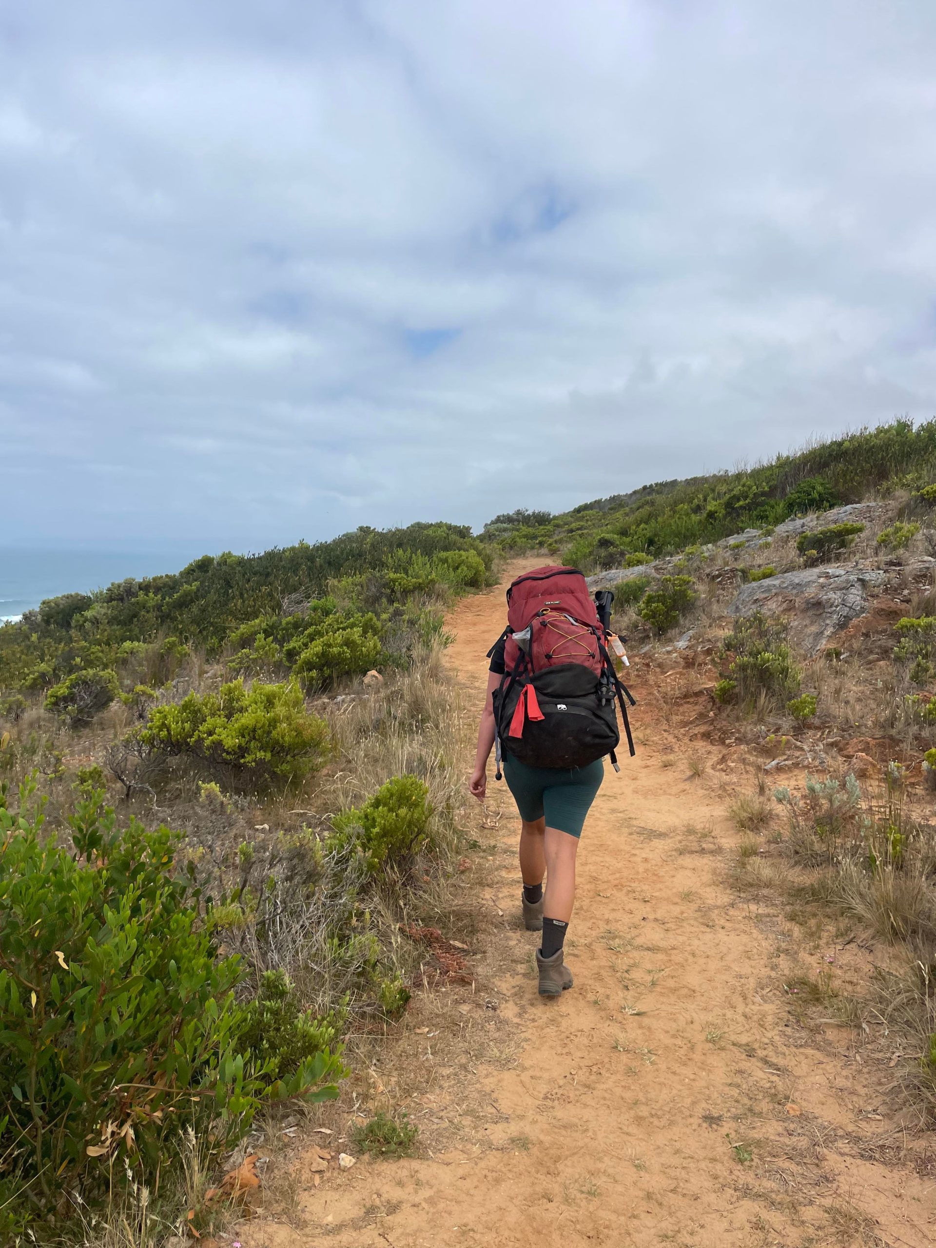
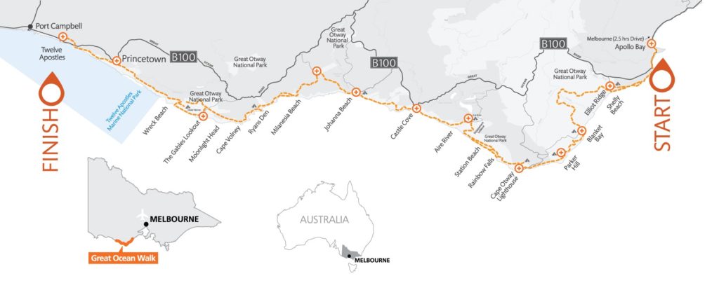
When I look back on this multi-day trek I remember day 4 as the highlight of the trip. We knew it would be a challenge. We had built up our expectations and motivation over the last 3 days. Day 4 was a 28km hike with the most elevation gain and loss of the entire Great Ocean Walk, this should not be undertaken unless your an experienced hiker. To mitigate arriving too late to Ryan’s Den we had a ‘trail breaky’ which meant we picked a certain amount of kilometres to walk before we found a nice spot to eat breakfast on the trail. We found this motivated us to complete more distance first thing in the morning. Highly recommend this technique if you have a long day planned.
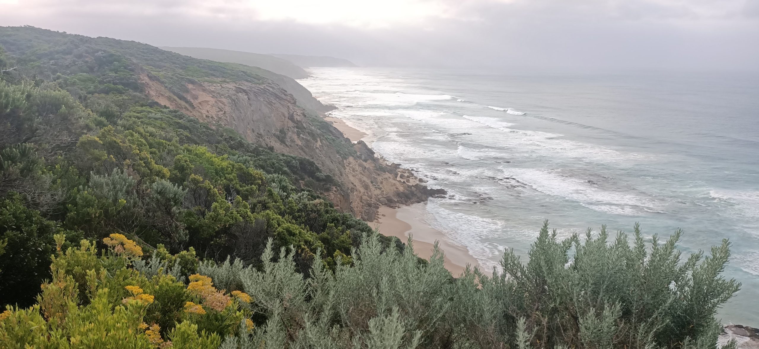
Our breakfast spot was 2.8km along the trail at the Sentinel Rock Lookout, the trail handrails Aire River in a westerly direction and is undulating. After breakfast the trail turned northwesterly. The terrain was the same for the next kilometre but is now beside the cliffs and beach. The trail followed a steady decline towards the beach with an elevation loss of 50m within 400metres. Next we arrived at Castle Cove Lookout, which is definitely worth having a break at. Castle Cove is very popular because it is one of the only spots along this section of the Great Ocean Walk that you can get access directly from the Great Ocean Road, there is room for about 4 cars to pull up on the side of the road to check it out.
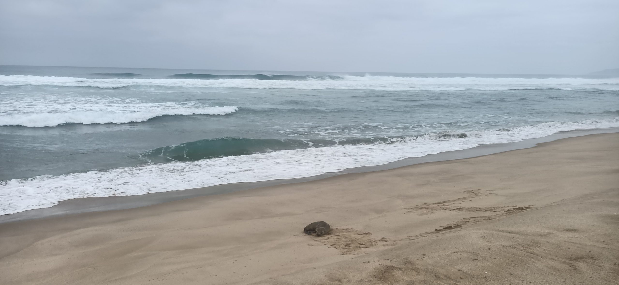
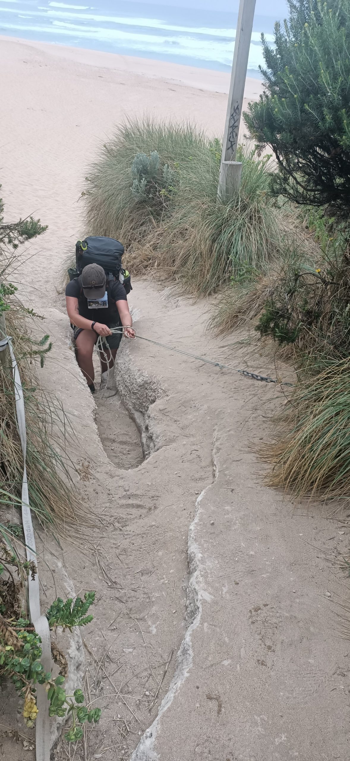
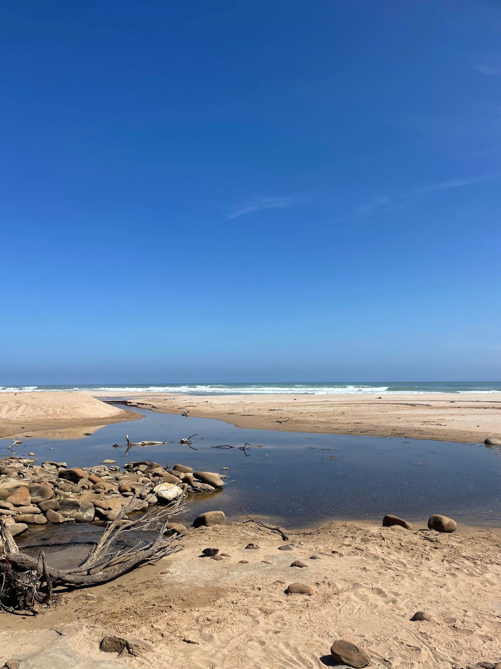
We continued hiking along the coastline for a kilometre before the trail began to head north and inland. There are many boot cleaning stations here please make sure to do a thorough job to avoid the spread of cinnamon fungus. Cinnamon fungus attacks and rots the root systems of plants which ruins the biodiversity of our native plants. This section of the trail is also hilly until we made our way to Johanna Beach. Here there is a long sandy beach stretch of 2kms which includes a river crossing, there is no alternative route so make sure to check the tide times.
We felt exhilarated knowing we had made it to the end of Johanna Beach yet we were extremely aware the hardest part of the walk was still ahead of us. If you were doing this as a day walk Johanna Beach would be a great spot to stop and get picked up since there is car access here. Aire River to Johanna Beach is 12km. We continued on the trail and walked past the Johanna Beach Hike-In Campground which is a further 2km inland. This was a special point of the trip for me because this is where my best mate and I turned back, 6 years ago, and hitch hiked out to a hostel due to injury and unpreparedness. I was young and ambitious, I am proud that we had completed it up till this point back then . Especially considering I had never done a multiday trip before. On this trip, I had zero qualms about completing this 6 day trek.
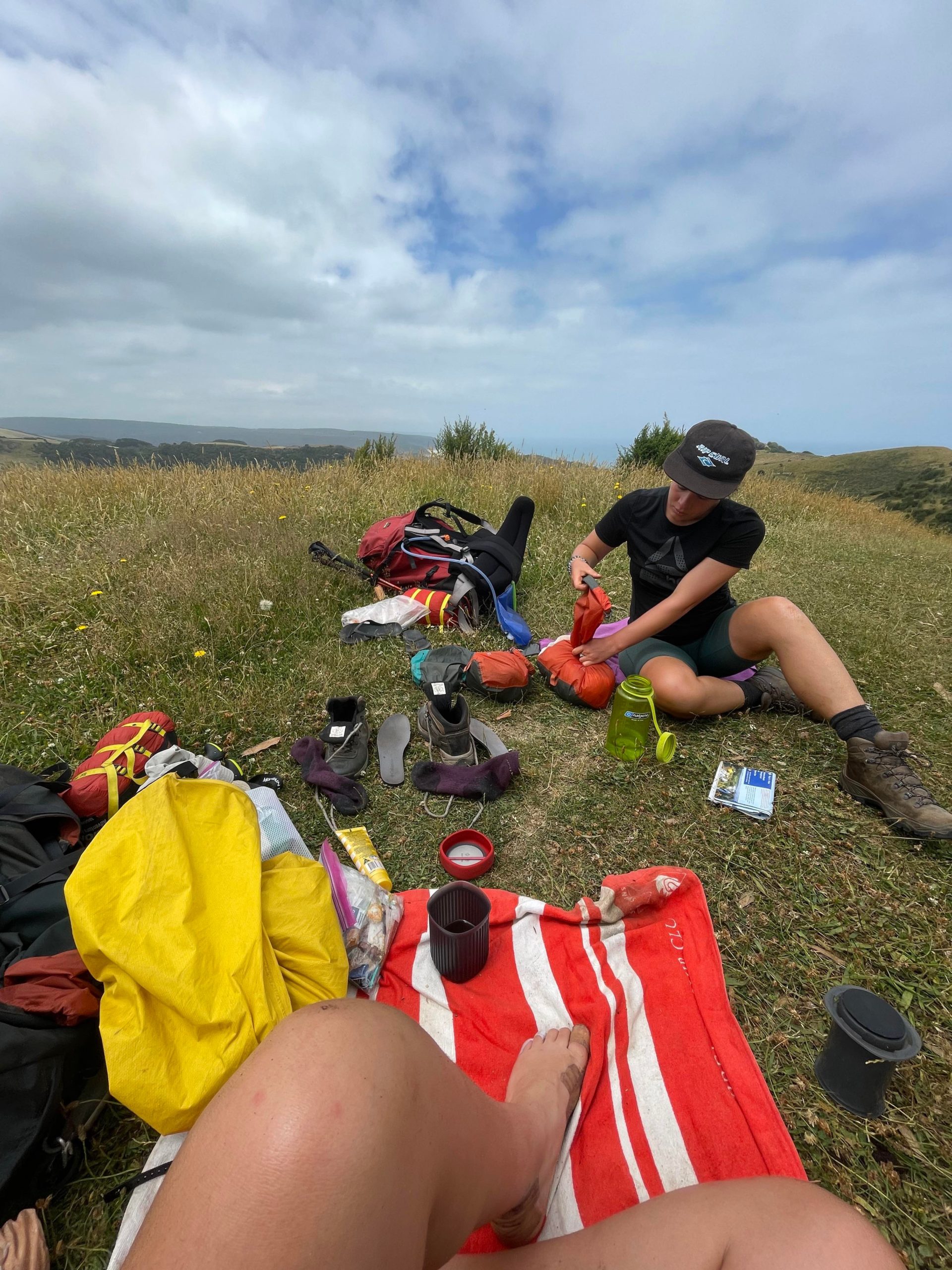
From the campsite we continued on for another 1km on Old Coach Rd and decided to have our lunch before we tackled the inland elevation towards Melanesia Beach. After lunch we came across the largest snake I have ever seen, and I have been on a lot of trails in the past. Please take care in this section especially because there is so much long grass and not much shade from trees since it is farmland. This was one of the most challenging sections for the day 8kms of dirt roads which includes the elevation gain of 300m and then the loss of 300m also. Allow a lot of time, water and food for this section. We did this at the hottest part of the day because it was unavoidable due to the distance we had to complete to arrive at our campsite. I would recommend this section to be done during the cooler part of the morning due to the limited coverage of trees. Also be aware that there is a lot of fast driving cars through these back roads before arriving at Melanesia Beach.
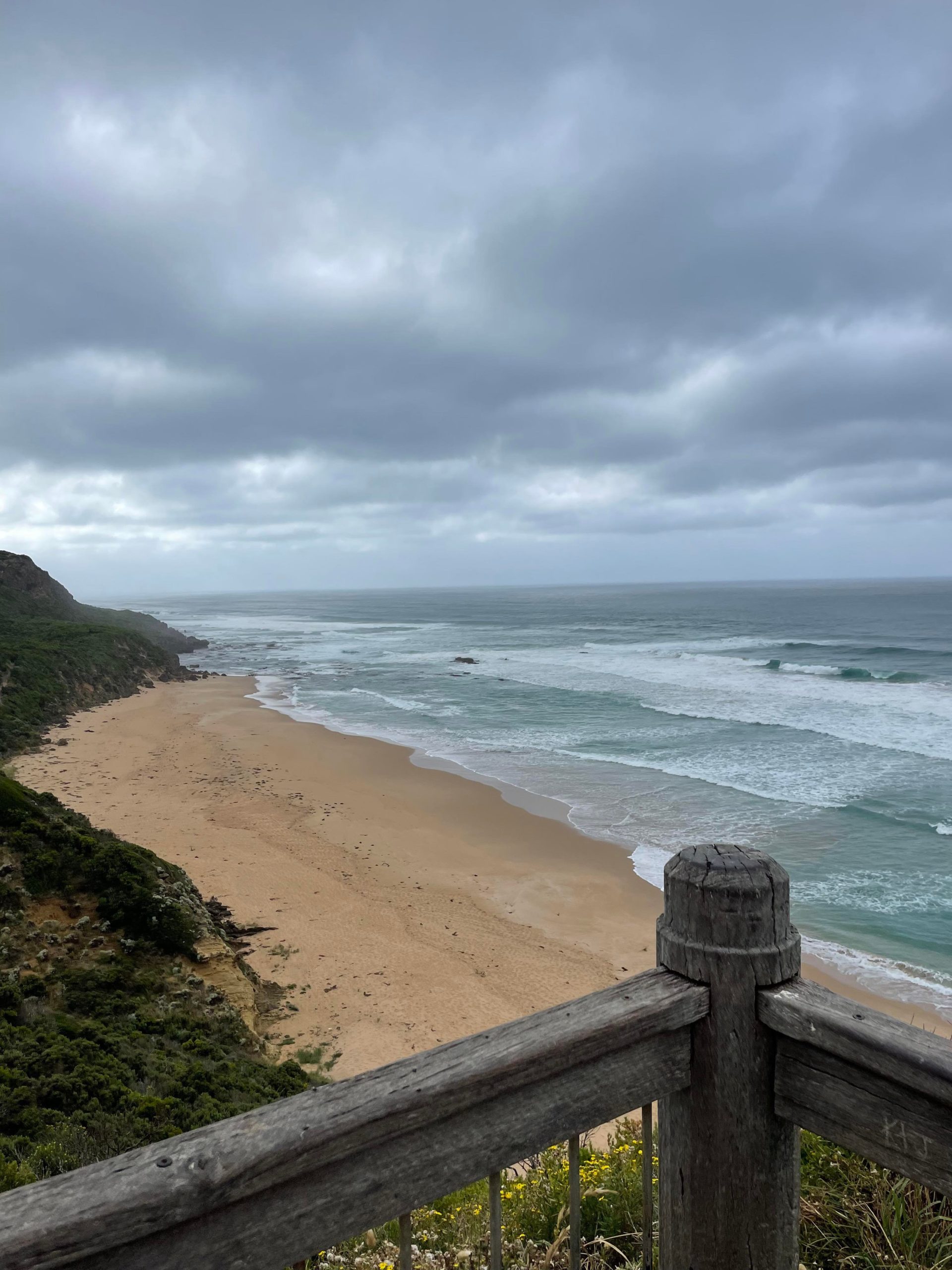
We were super excited to arrive at this beach because we found shade under the cliff and were able to eat our afternoon snack. We had almost 5km still to hike before we were at camp so we did not go for a swim but continued the final part. It was so beautiful leaving the farmland behind and entering back into the Great Otway National Park. Our bodies were fatiguing after having already hiked 23km so the undulating hills and the various stair cases felt never ending. We relied on each other for motivation and the arrival to camp was an emotional one. This was our challenge day and we were over the moon to have accomplished it together.
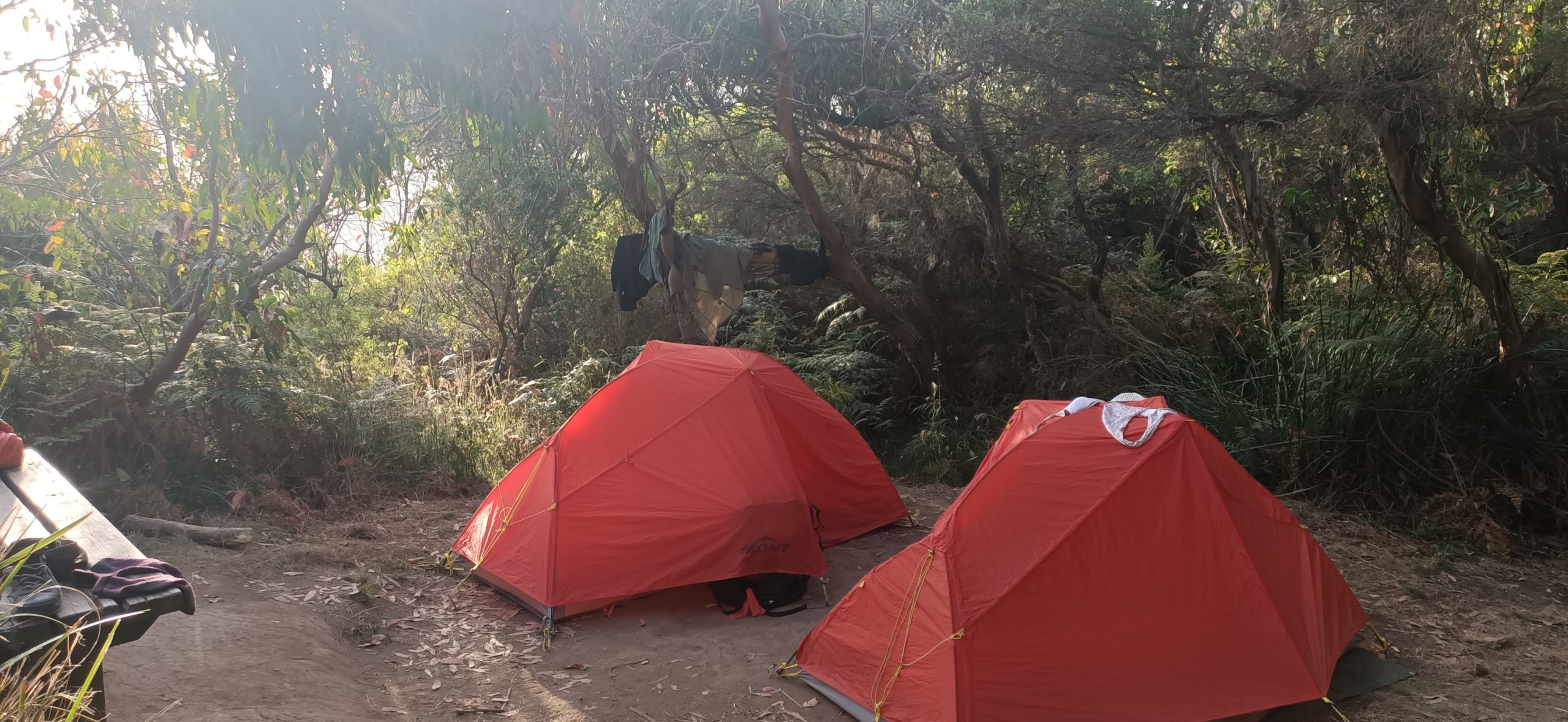
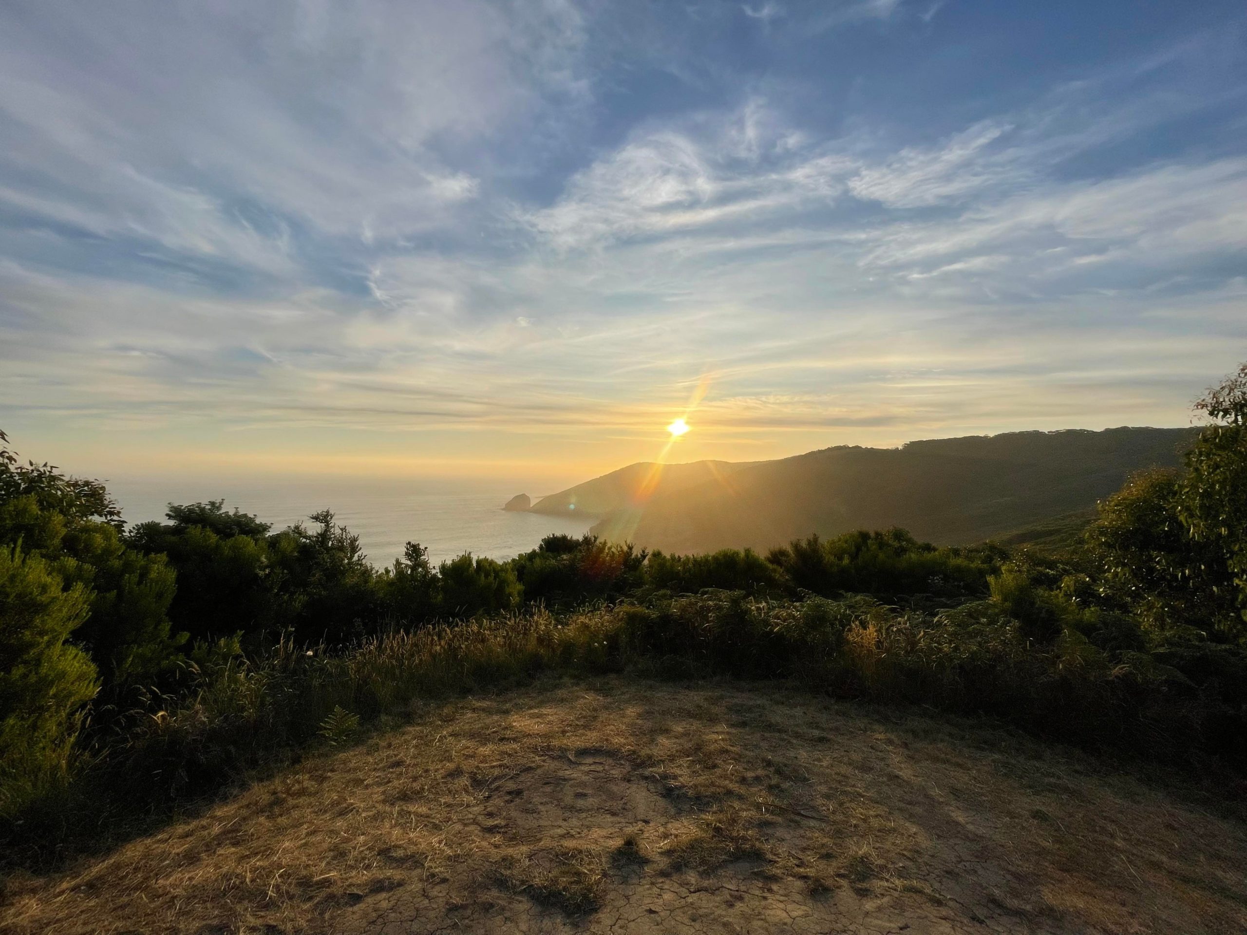
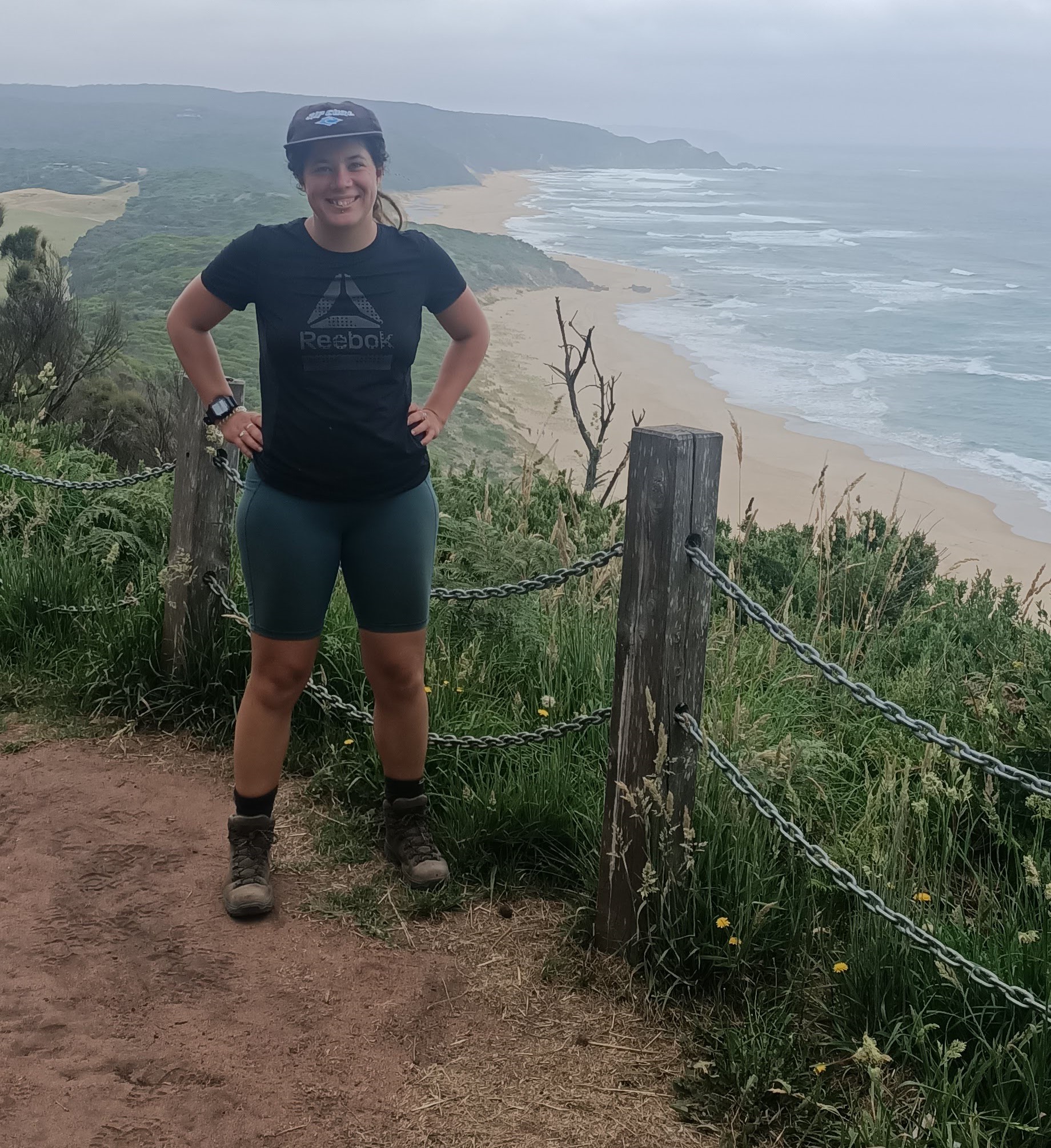
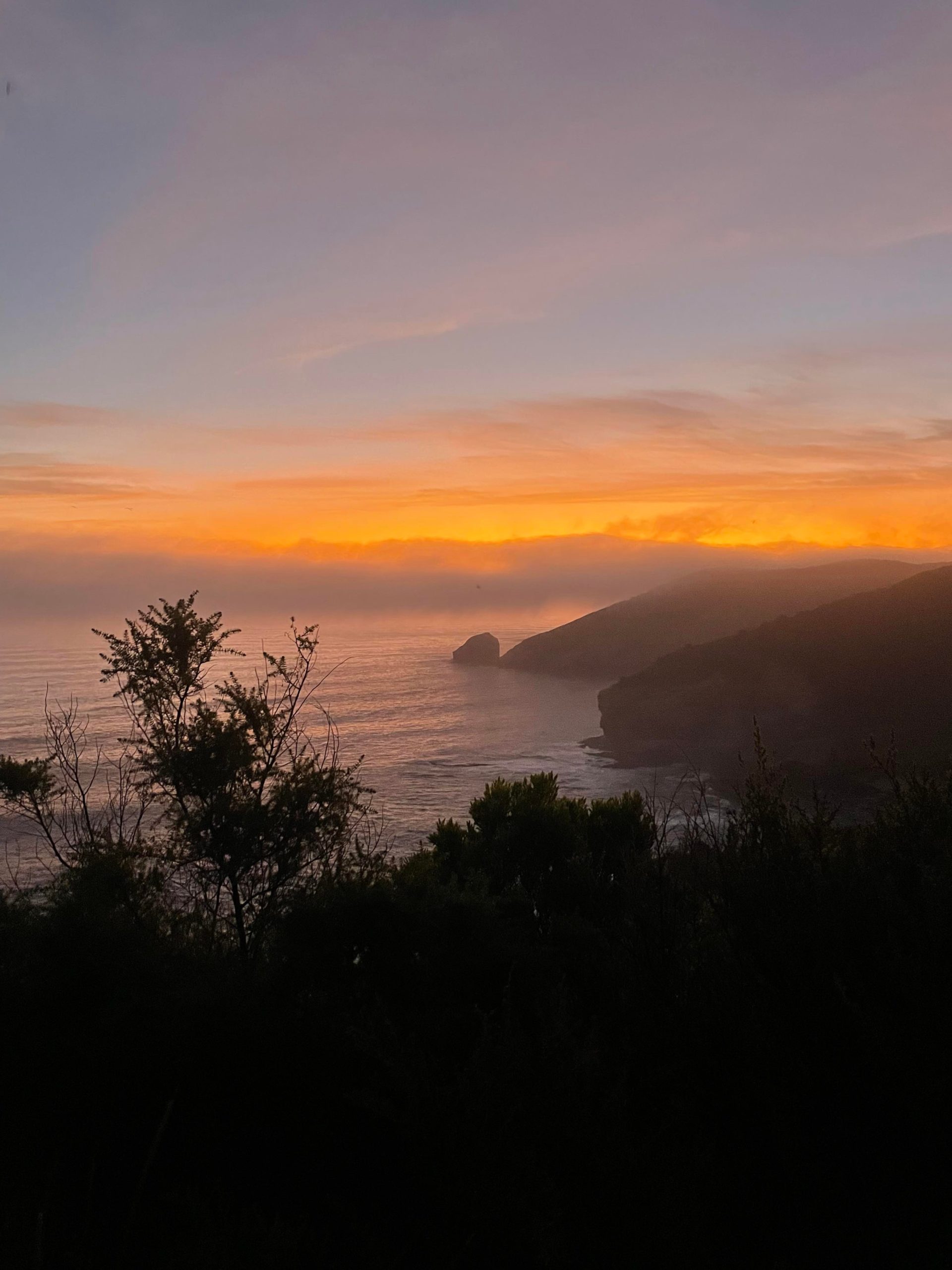
Ryans Den was by far my favorite campsite out of all the ones we stayed at. After setting up camp we carried our dinner supplies up to the top of the lookout and enjoy a spectacular sunset. The next morning we had a slow morning involving a sunrise yoga and breakfast session at the lookout. If you planned to do this second half of the walk as a day trip there is car access 1km before Ryans Den Hike-In Campground at the Ryans Den Track. I have never driven on this road so please check the conditions before relying on this one. Due to the majority of the trail being through farmland I probably would not recommend this as a day trip. As an alternative, if you could park your car on Ryans Den Track, then explore by hiking to the campsite (2km return) and then hiking down to Melanesia Beach (7km return) this might be a more enjoyable day trip.

| Trail Name | Great Ocean Walk – Aire River to Ryans Den Hike-In Campground |
| Distance | 28km |
| Estimated Time | 10hrs |
| Grade | 4 |
| Type | One Way – East to West |
| Park | Great Otway National Park |
| Access | Hike-in only (2WD access from Johanna Beach) |
| Trail Name | Great Ocean Walk – Blanket Bay Campground to Cape Otway Lightstation Carpark |
| Distance | 11km |
| Estimated Time | 3.5hrs |
| Grade | 2-3 |
| Type | One Way – East to West |
| Park | Great Otway National Park |
| Access | 2WD |
| Trail Name | Great Ocean Walk – Shelly Beach Picnic Area to Blanket Bay Campground |
| Distance | 15.2km |
| Estimated Time | 5hrs |
| Grade | 2 |
| Type | One Way – East to West |
| Park | Great Otway National Park |
| Access | 2WD |
One response to “Great Ocean Walk Day 4 – Aire River to Ryans Den”
What an interesting read, Anna. I’ve done a few treks but not one like this over 6 days wow. The best one Phill and I did was climbing in Girraween National Park.
Thanks for sharing 🤗