First, I would like to acknowledge the Taungurung peoples of the Kulin Nations as the traditional owners of Rubicon Valley. I want to pay my respects to the past, present and any Indigenous people among us today. I also want to acknowledge that I have profited and benefited from stolen land and that Indigenous people were never ceded sovereignty. Finally, I would like to acknowledge again the Wurundjeri clan of the Kulin Nations the traditional owners of Naarm where I sit and write this blog today and I would like to acknowledge the traditional owners of the many lands my readers come from.
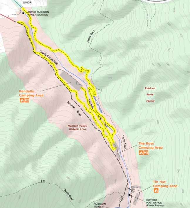
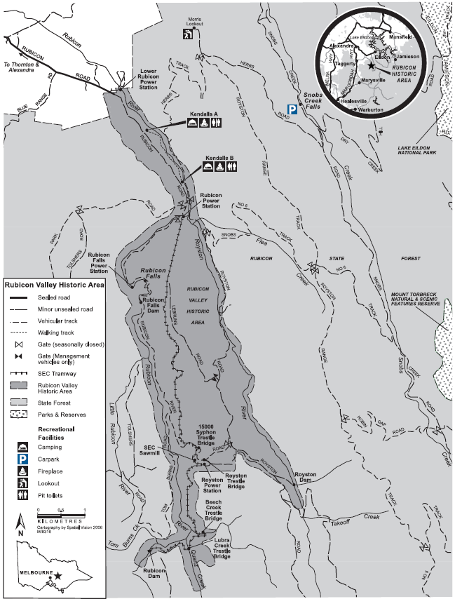
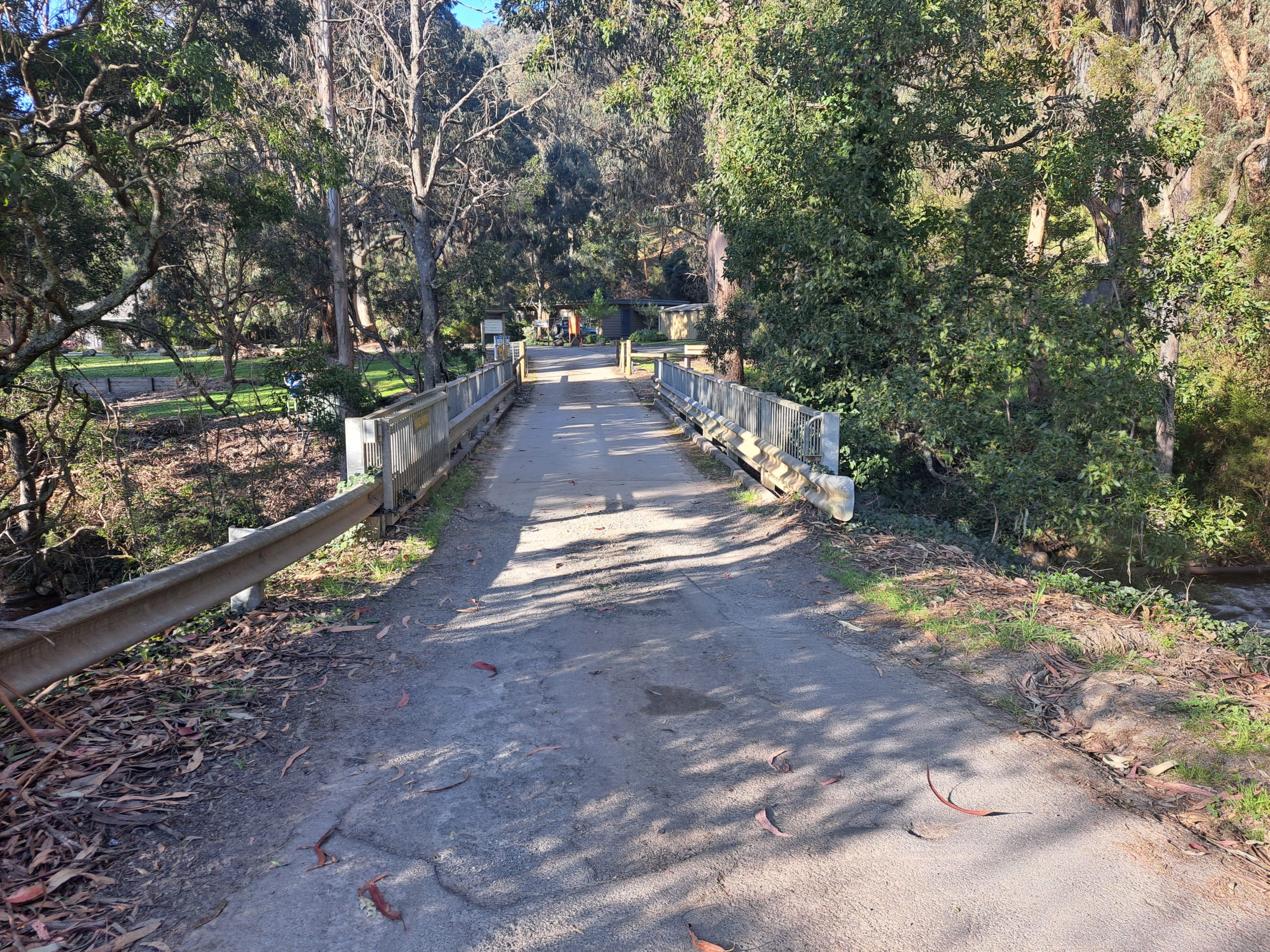
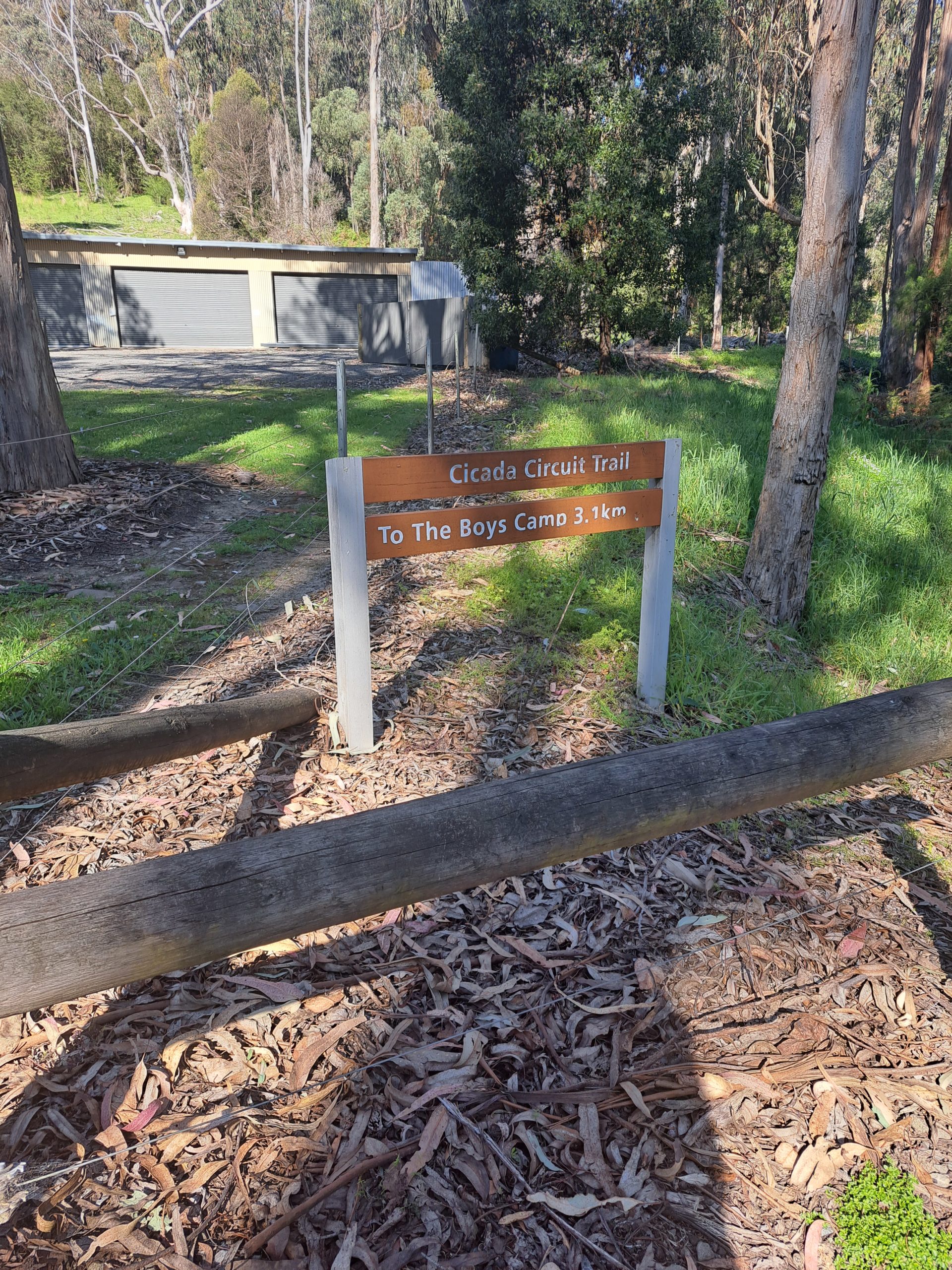
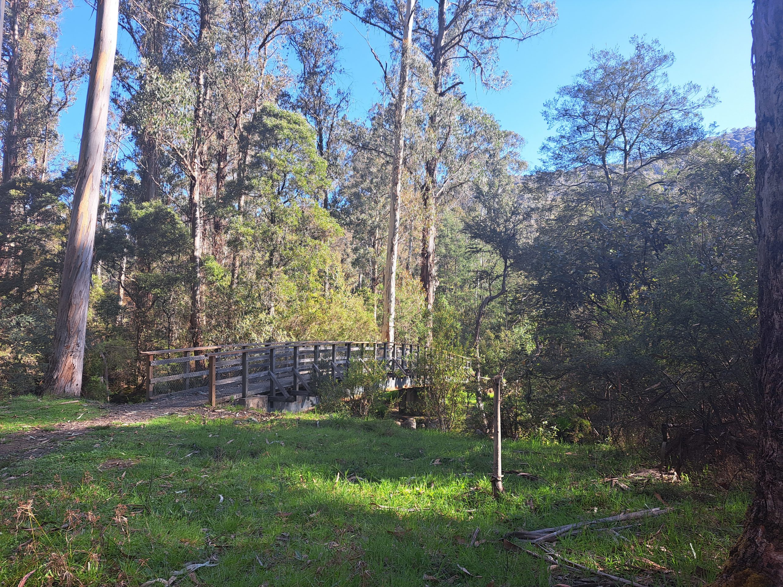
I have often been to Rubicon Valley, but it holds a particular special memory for me. The last time I went camping with my grandparents many years ago. Which is especially important to me now because my Pa is not with us anymore. Although so close to Eildon and within the town of Thornton the surrounding Rubicon State Forest is absolutely stunning and the flowing river is calming. To begin the circuit you can park your car at the Lower Rubicon Power Station. Begin by walking across the road bridge that crosses the Rubicon River and walk onto the private property of the Outdoor Education Group here you make a sharp right turn onto the southeast facing Cicada Walking Trail.
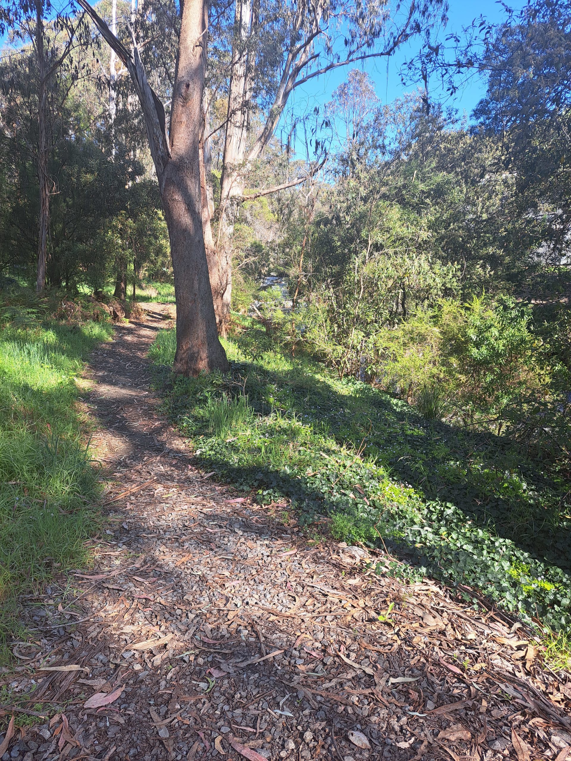
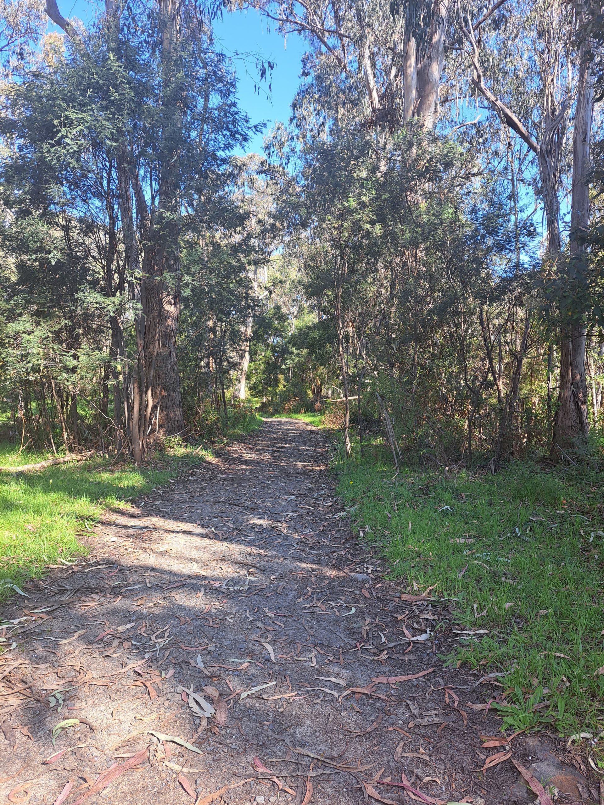
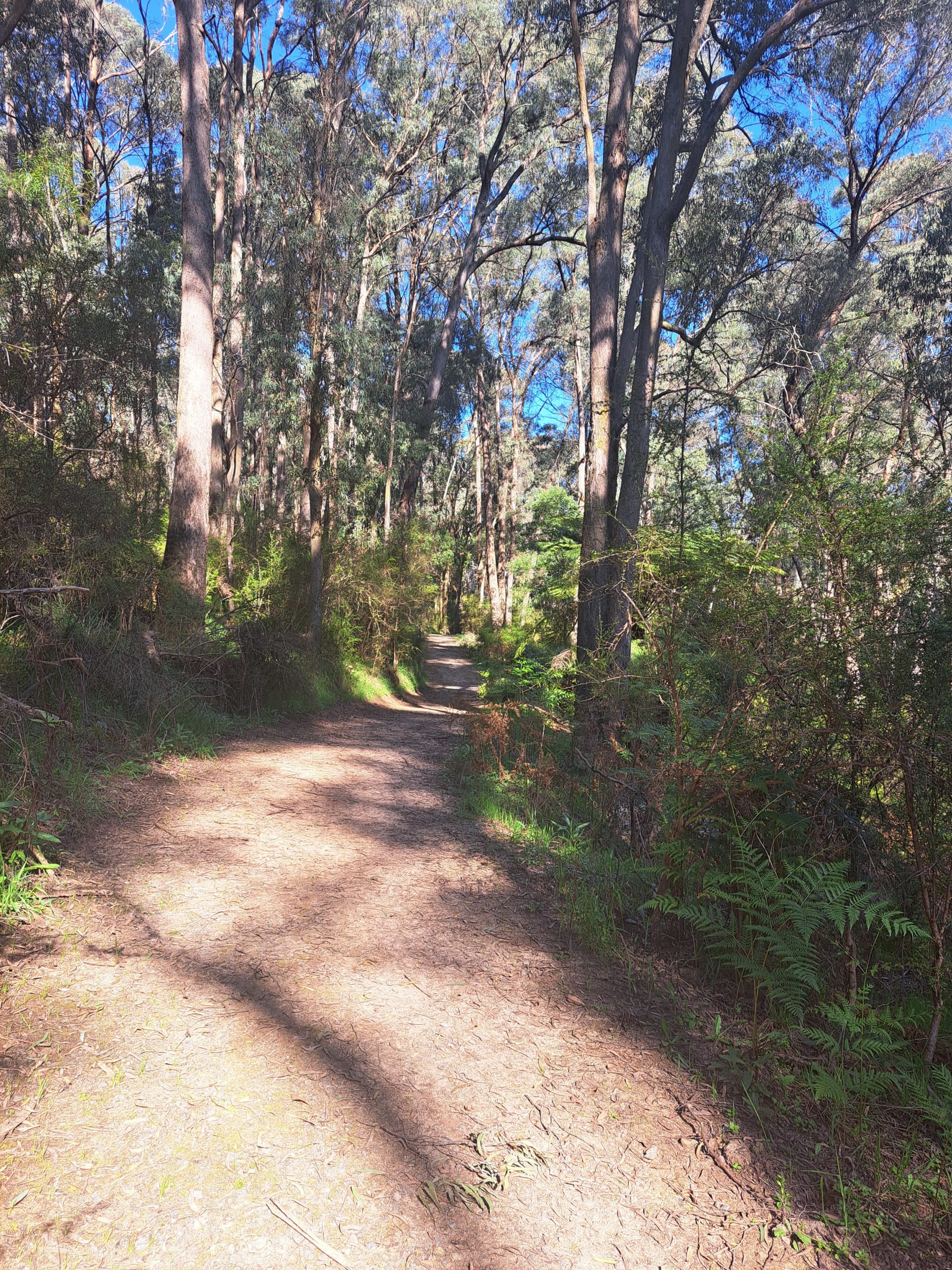
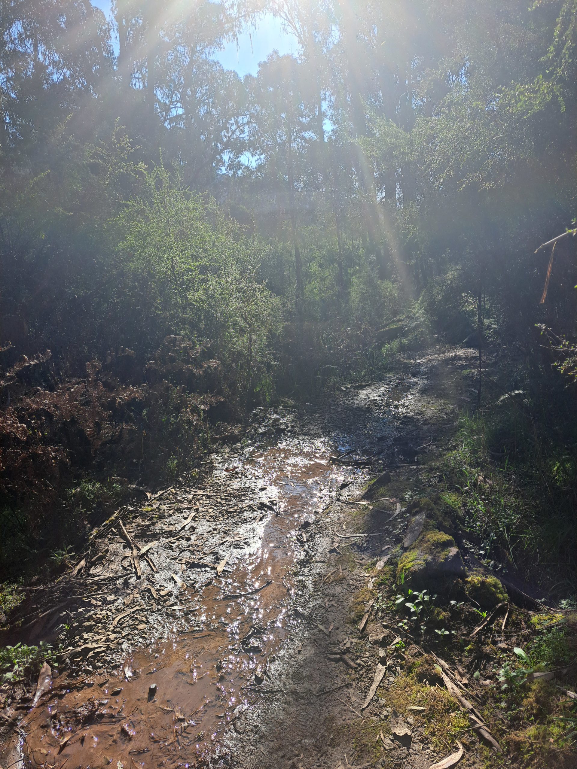
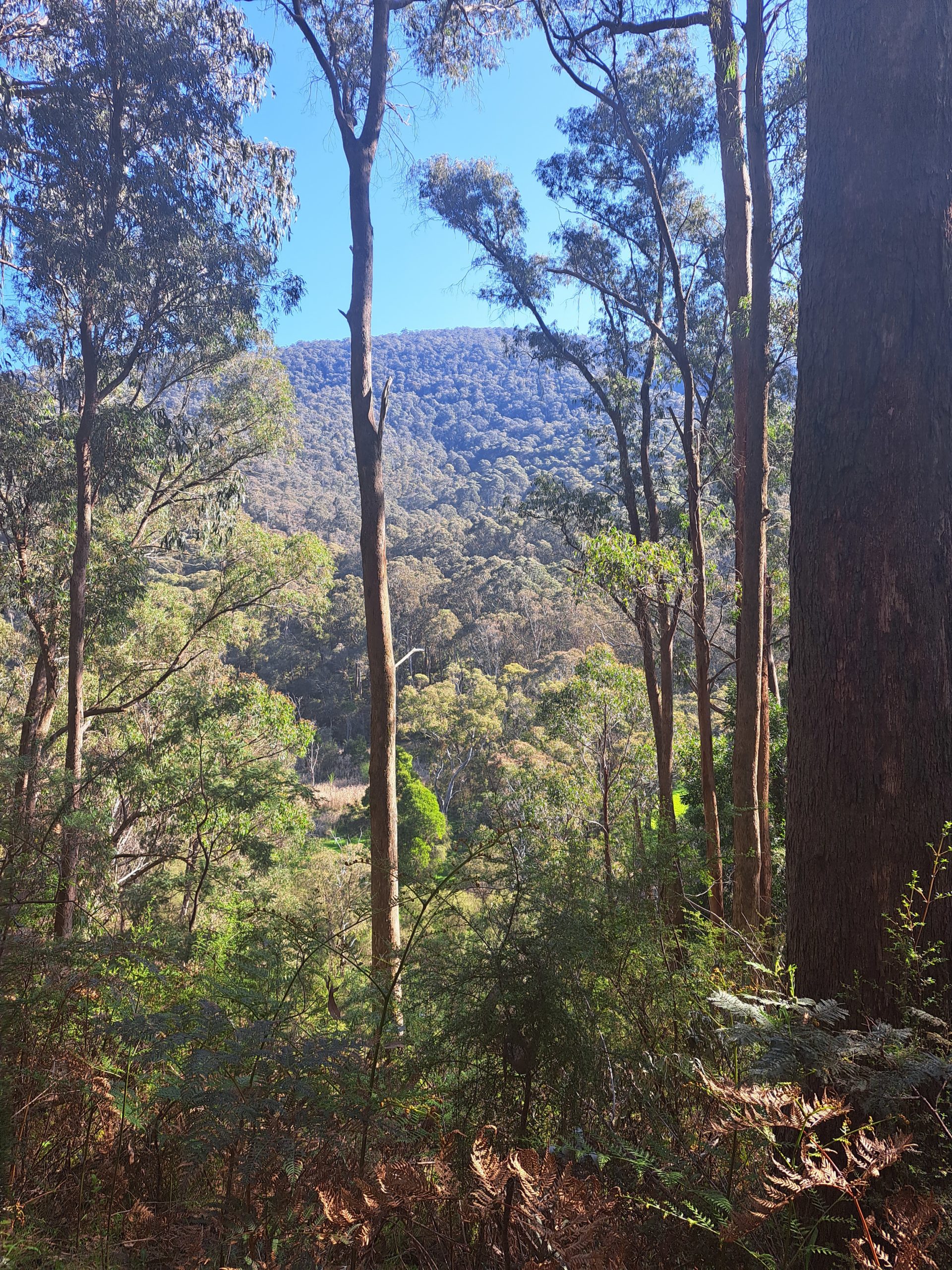
I did this hike solo recently, I began at the bridge described above. The beauty of this circuit is that you can begin in multiple places, I will point out these spots along the way. The trail quickly joined a wider pathway travelling south east handrailing the Rubicon River. After the first 1km of hiking I came across a trail intersection on a hill and I turned east, inland away from the river, the elevation changes here as well. I began to walk uphill for the next 1km gaining 380m of elevation. This gradient is not overly steep but does work up a sweat, luckily the land gradually undulates and twists and turns above deep gullies of ferns and eucalypts. The path continues quiet compact and wide although I did run into some slippery, muddy sections which were a challenge with my current injury but for most people would be super easy to navigate.
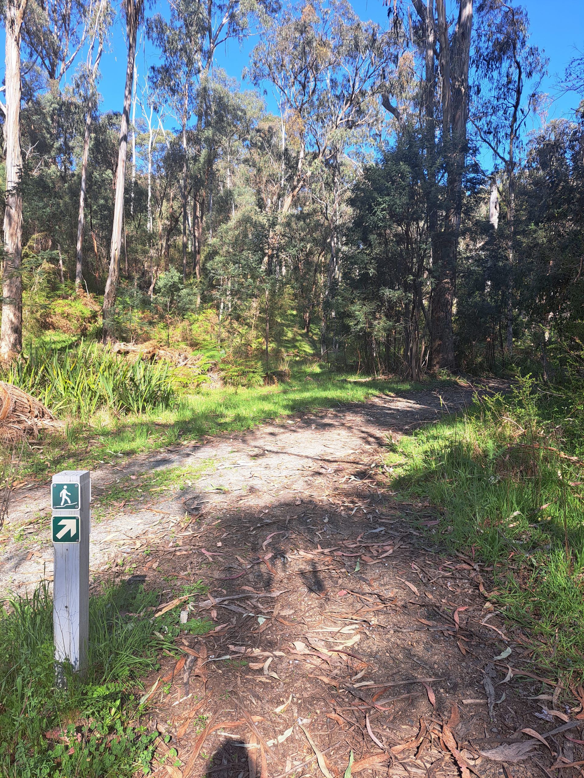
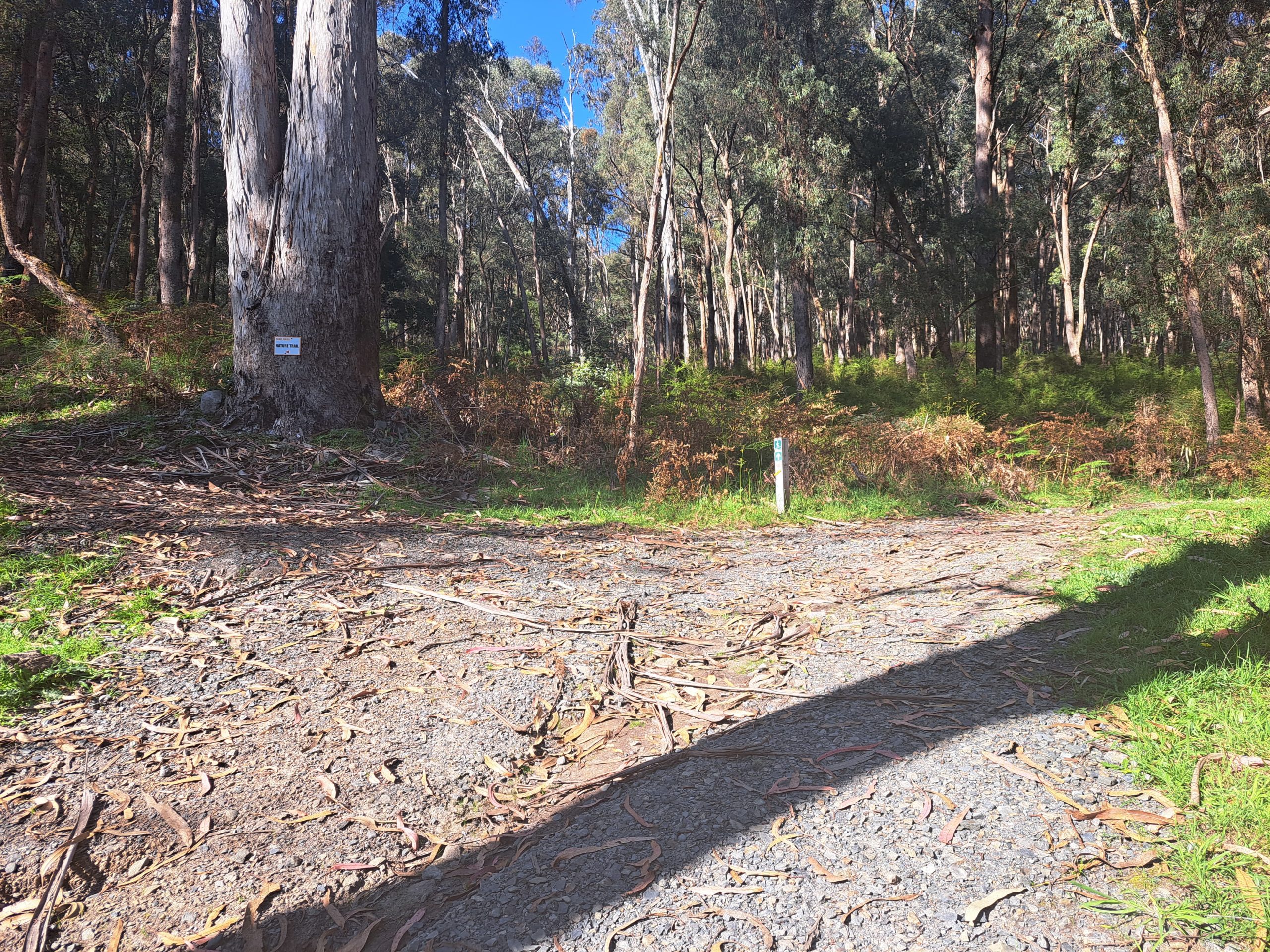
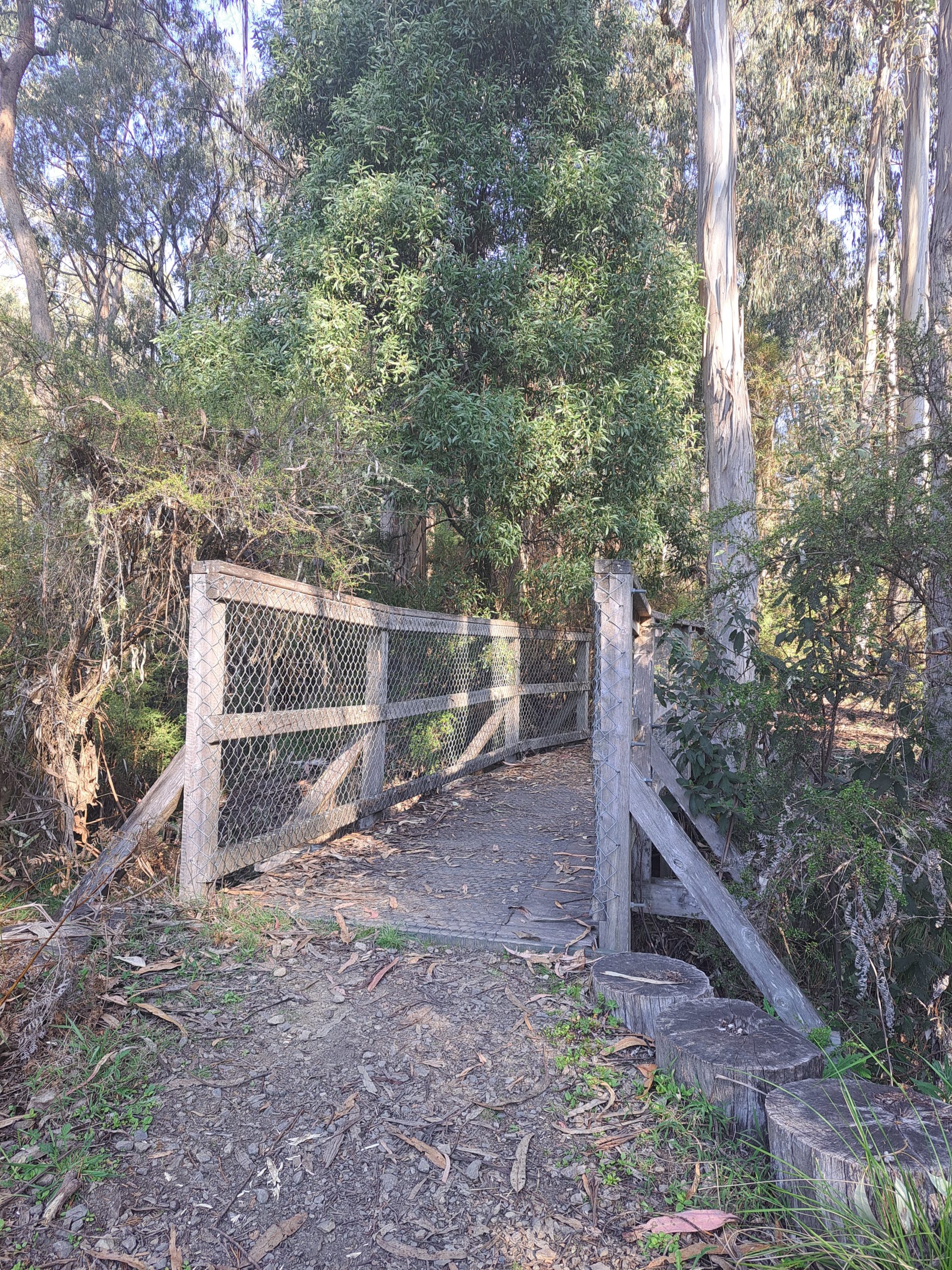
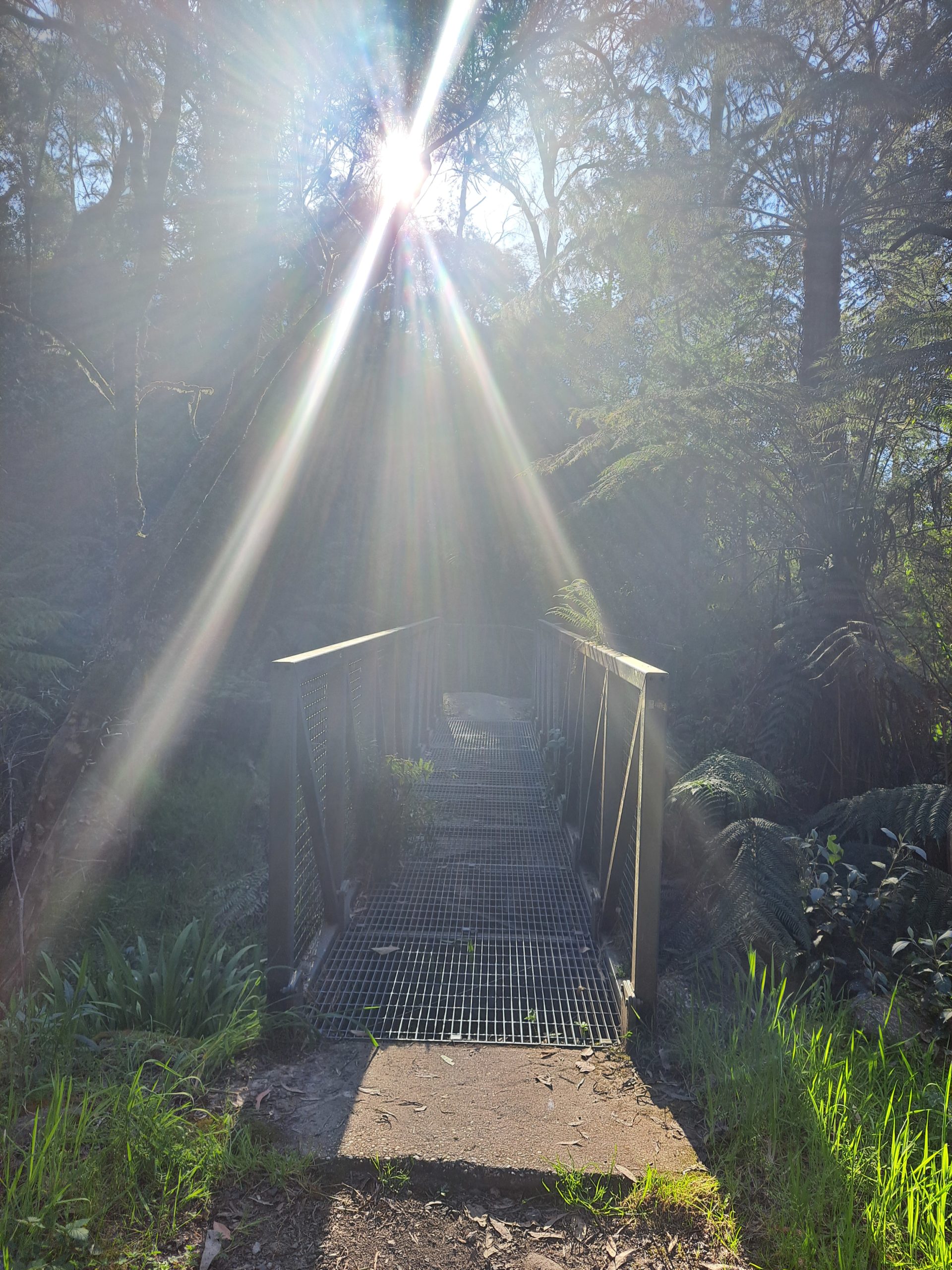
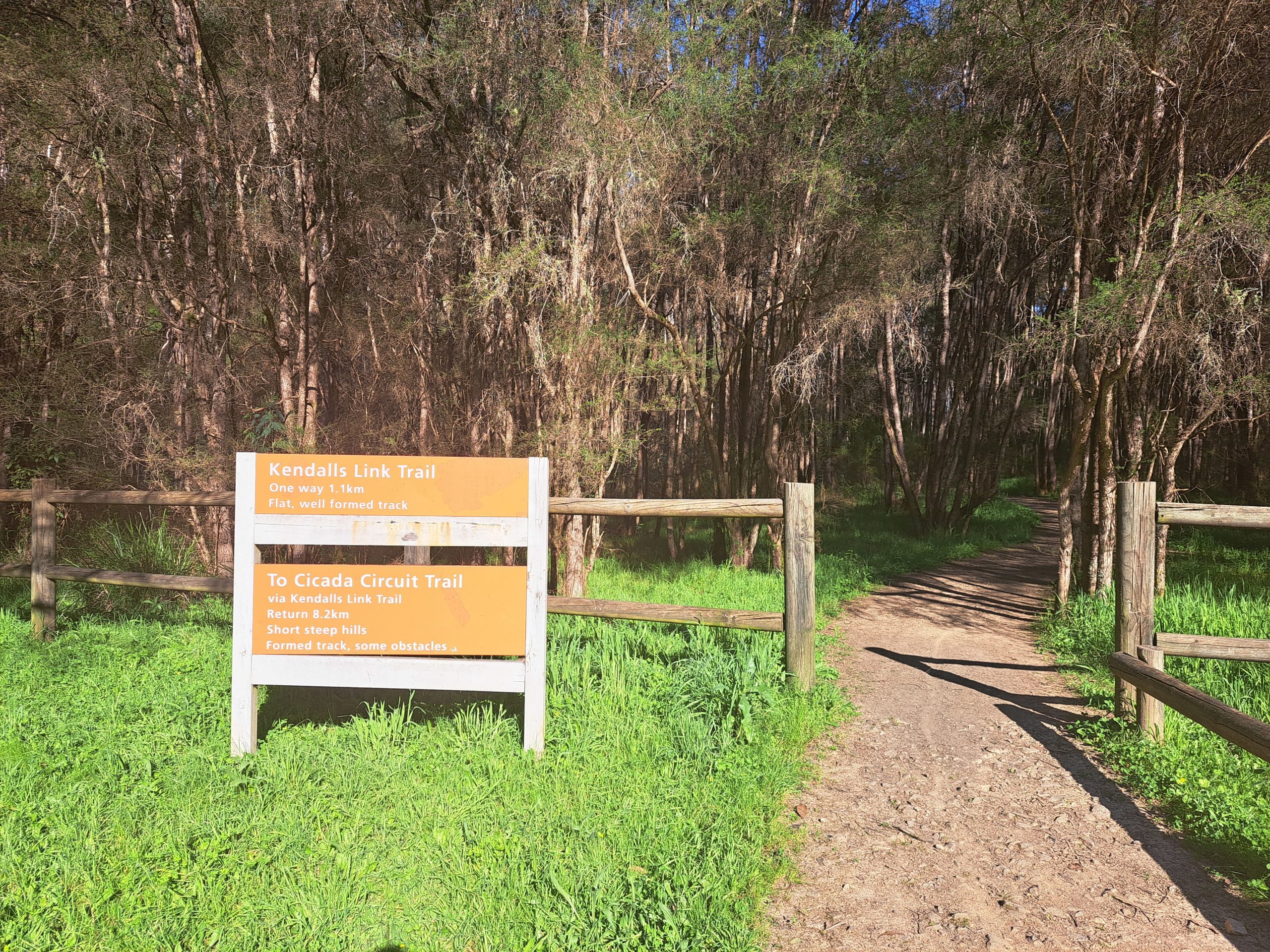
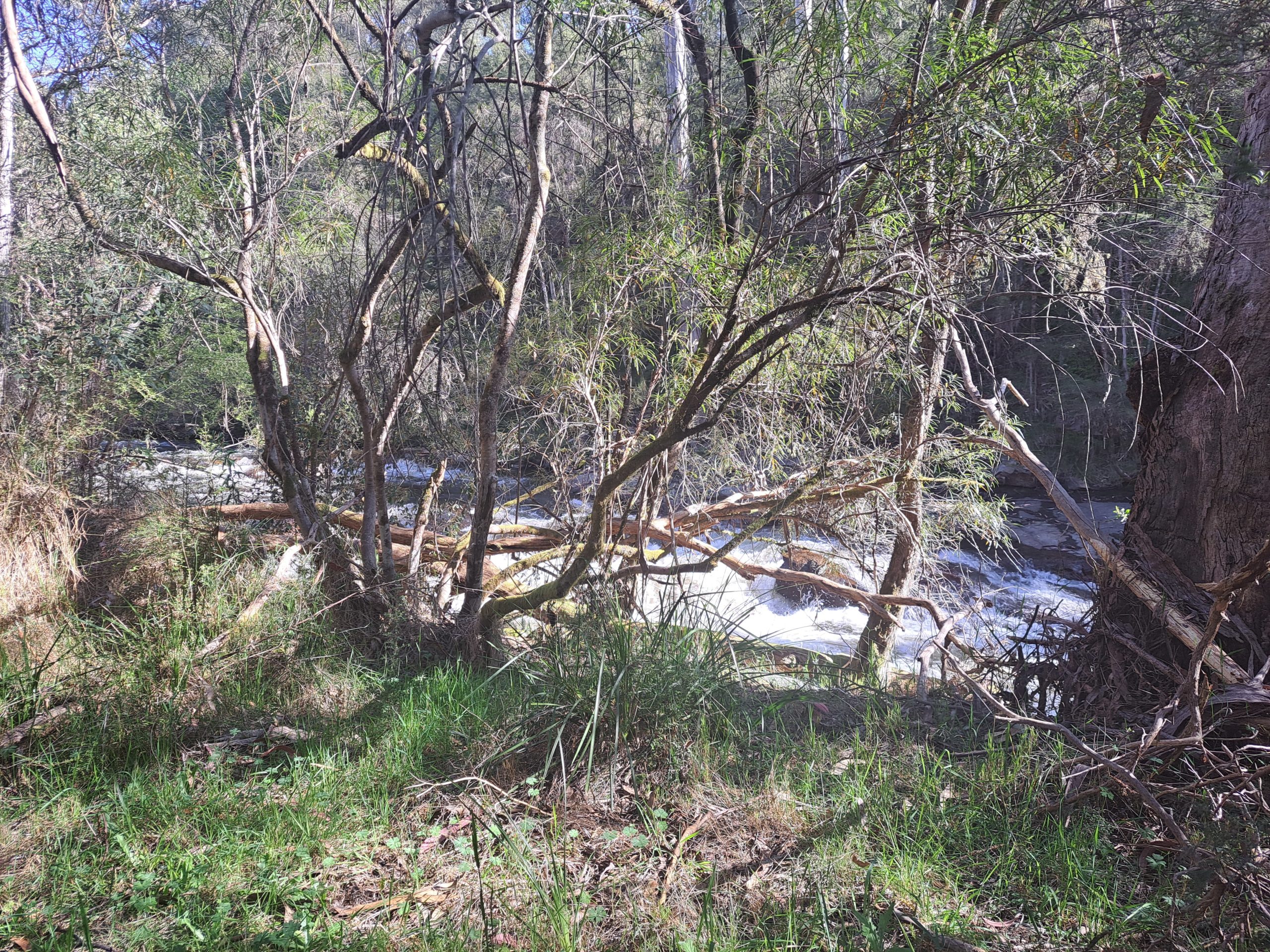
At this point the trail descends about 50m of elevation into a S bend over 300m of distance until the trail is handrailing the Rubicon River once again. The next 700m of trail is relatively flat. I crossed multiple bridges to get to the other side and join the Kendalls Link Trail. I chose not to continue on the Cicada Walking Trail to the Boys Camping Area since I have already been there many times. At the Boys Camping Area there is car access and a drop toilet so this could be an alternative start and finish spot if appropriate for you.
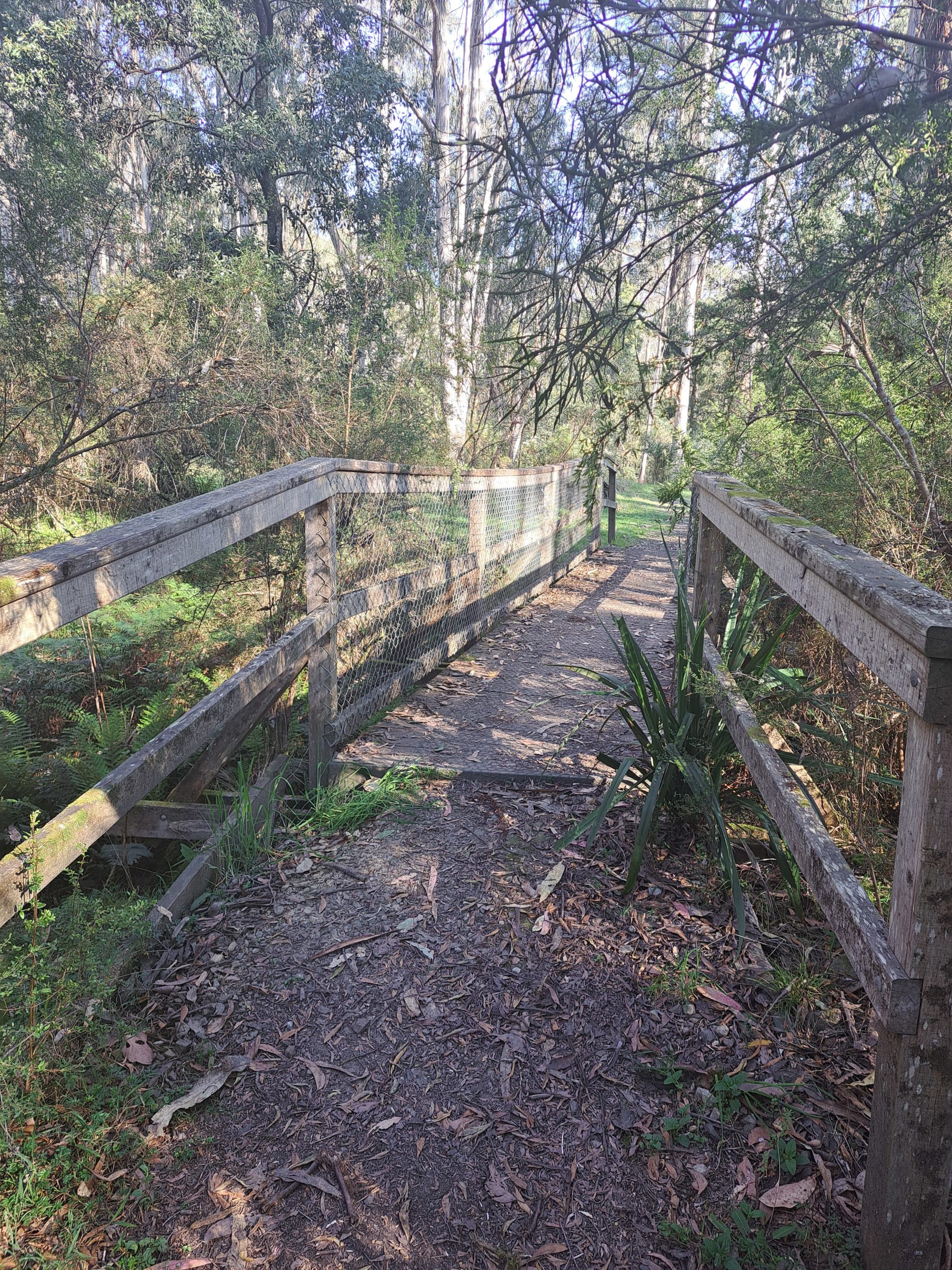
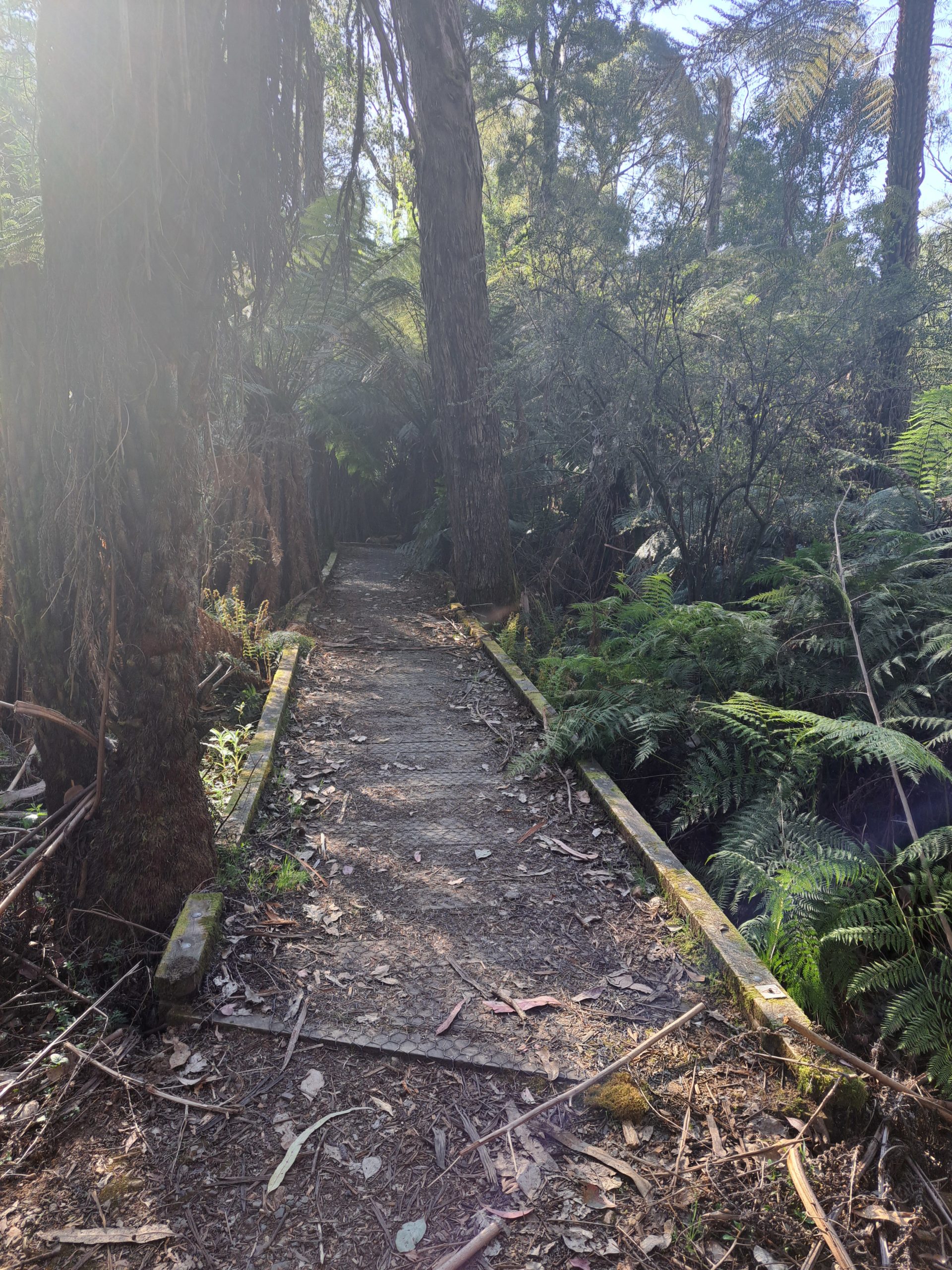
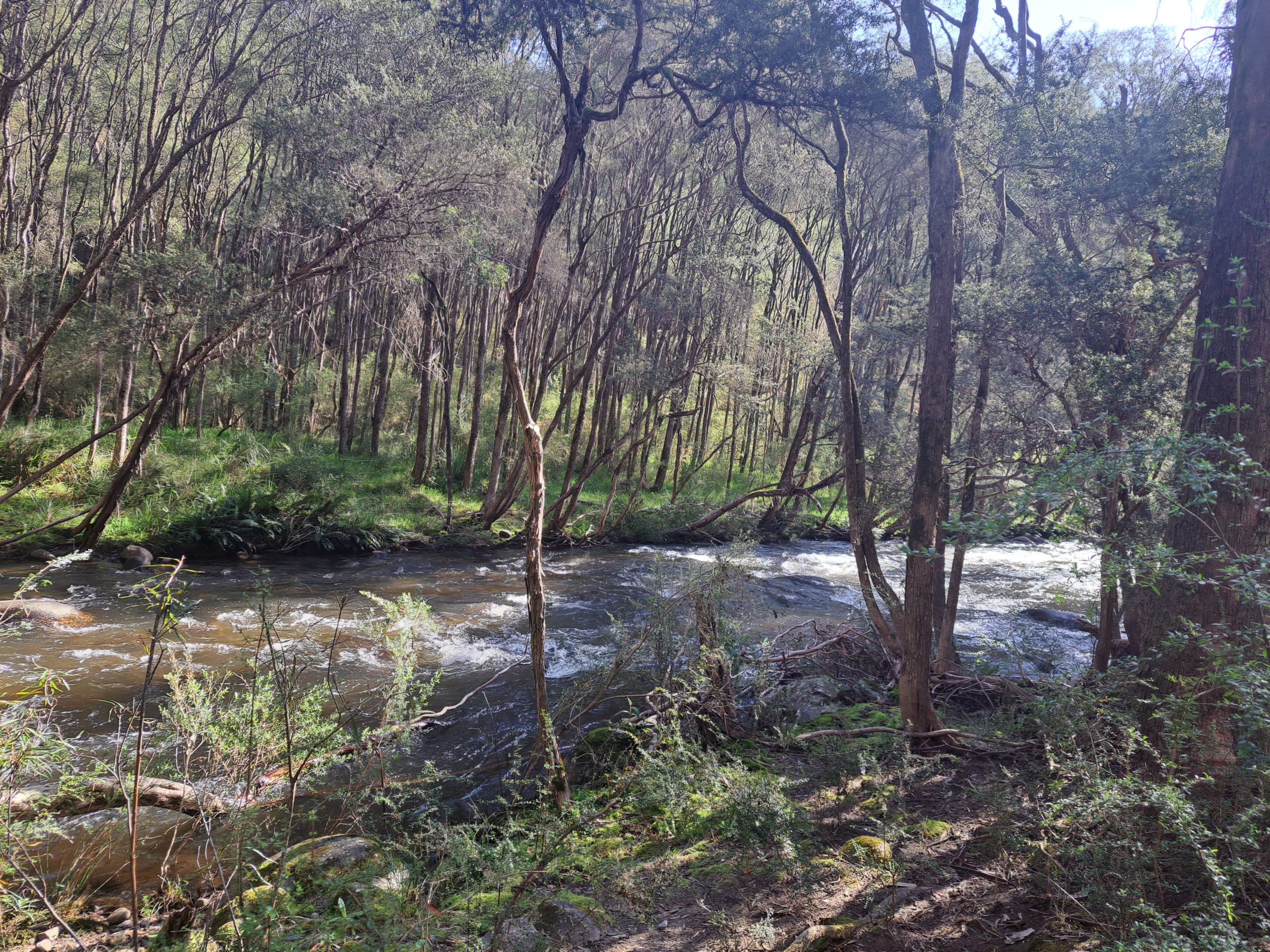
I continued hiking in a northwest direction on the Kendalls Link Track for 1.2km. I handrailed the river once again, this side of the river is much closer to the road and feels less remote. I traversed over a bridge and then a boardwalk before arriving at the sign for Kendalls Camping Area. Just before I entered the campground there is a subtle bend in the river, this can be a fun swimming hole but only enjoy it when the river levels are not too high and if your a confident swimmer, please take care. I hiked through the various campsites and picnic areas for 400m before joining up with the Cicada Walking Trail once again. I have camped here many times before, it is well looked after, with many large campsites where campfires are allowed in allocated fireplaces, theres car access, and drop toilet facilities. I would highly recommend a weekend away here. This could also be another start and finish point for the hike.
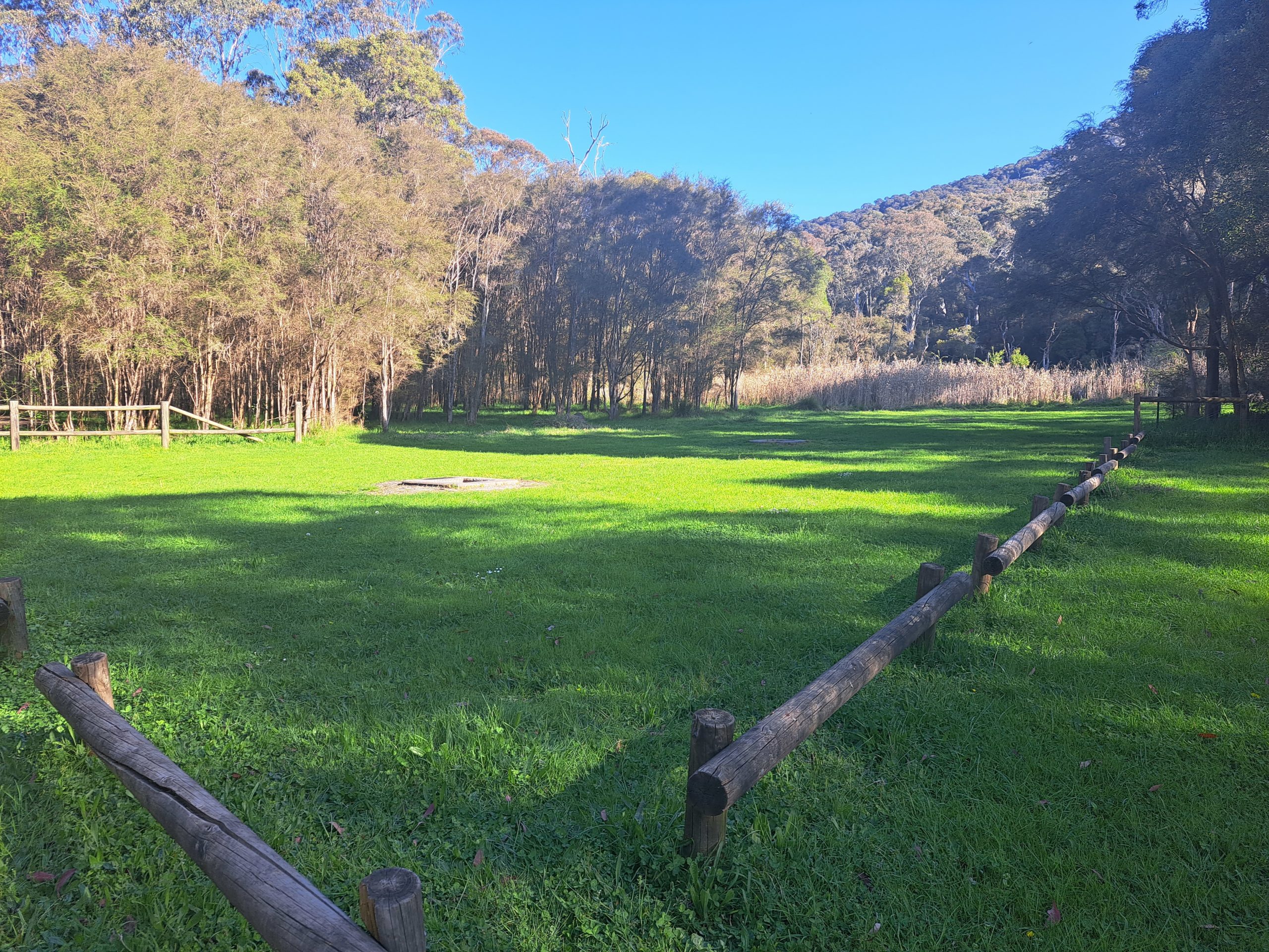
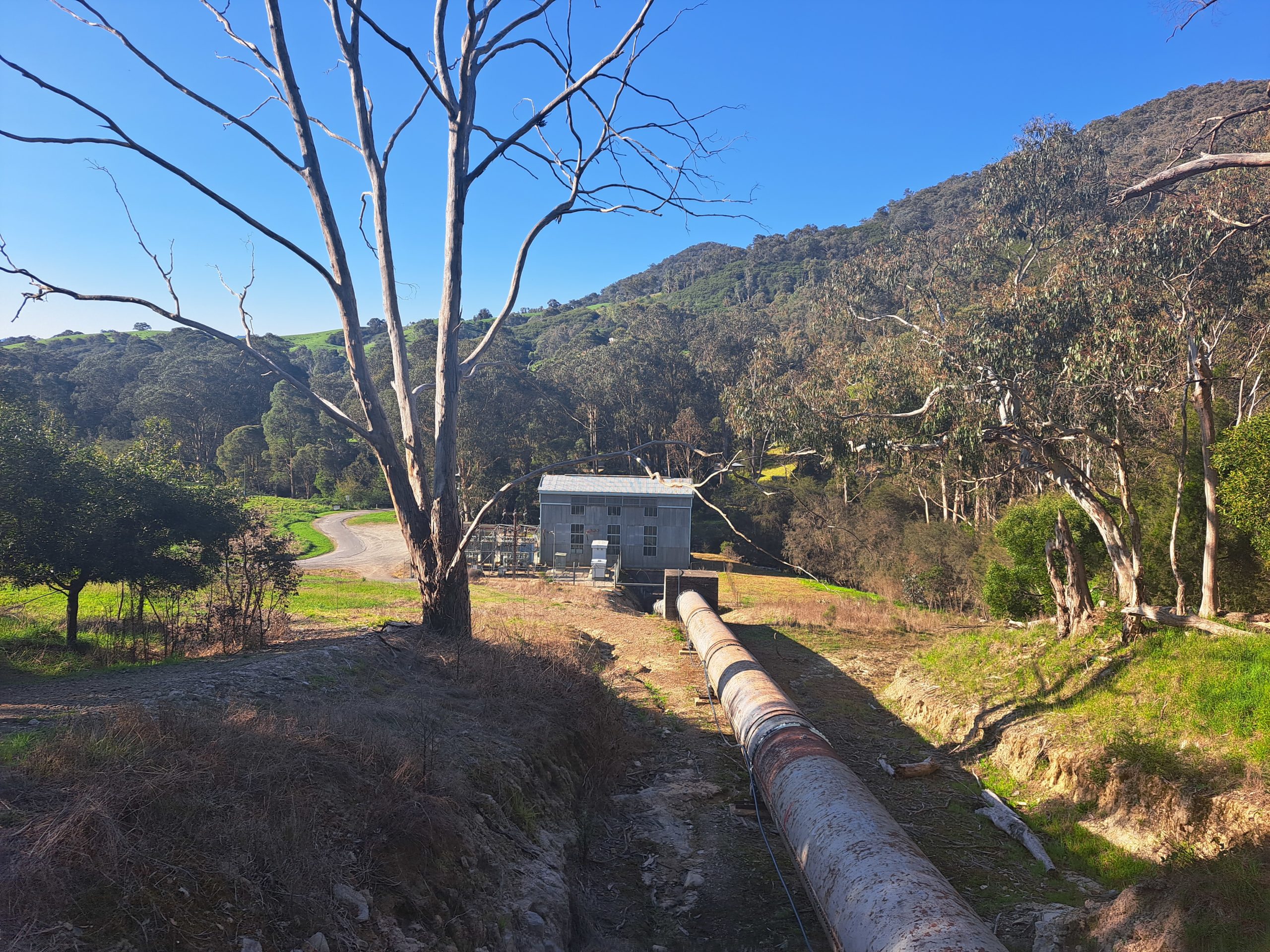
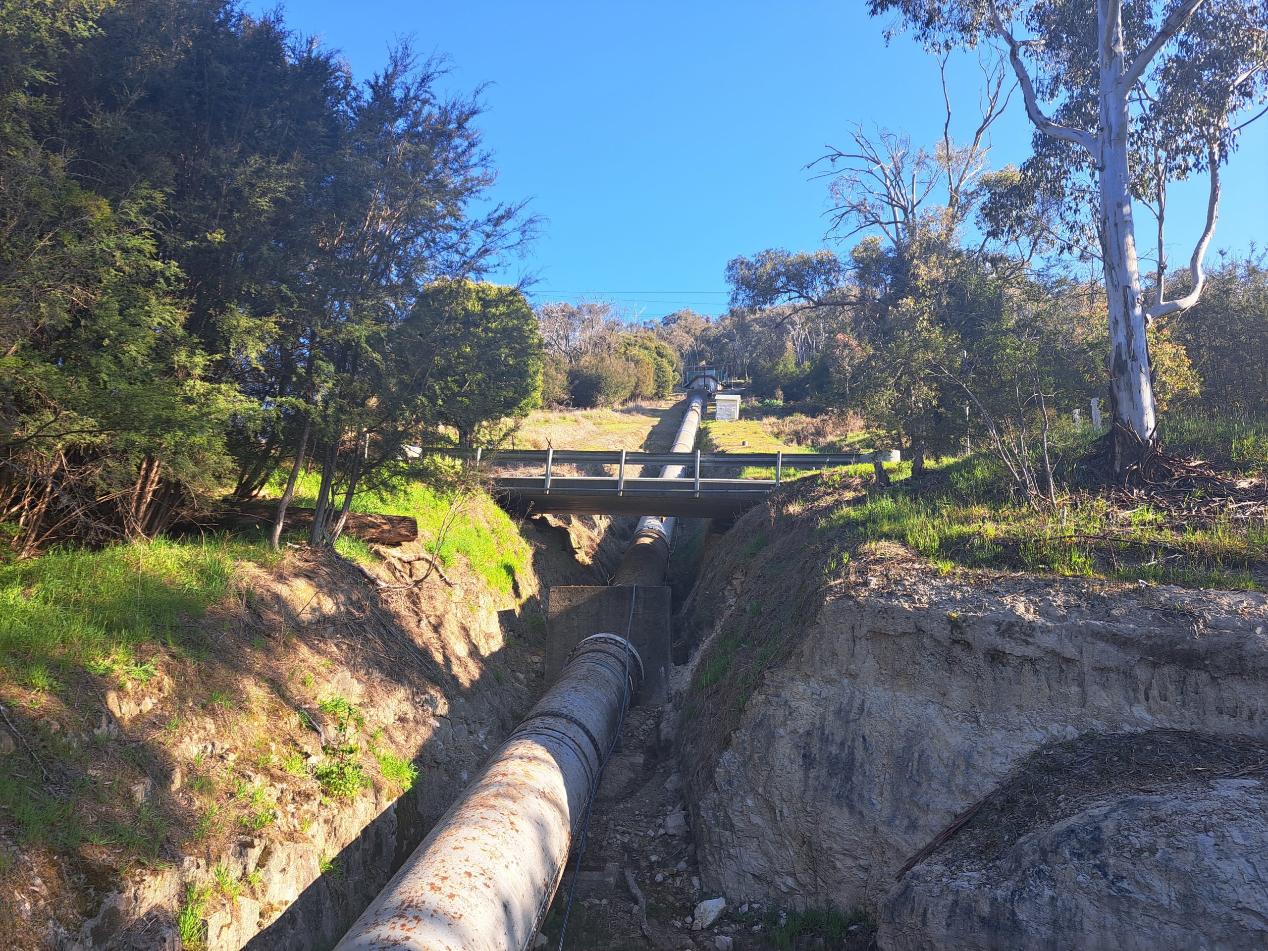
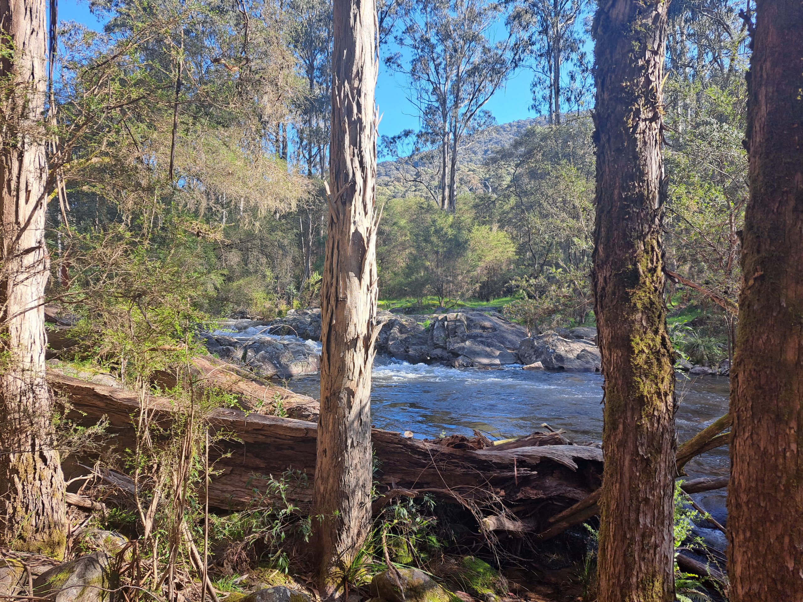
Once on the Cicada Walking Trail again I only had 1km left of the 6km hike. This part of the trail is further away from Rubicon River and closer to the road with a subtle decline of 50metres. I crossed the final bridge and took in the view of the Lower Rubicon Power Station now having come full circle. On the map it shows the trail ends here, but you can either walk down a very steep slope towards the Power Station or continue northwest along the road and then turn northeast down the gravel road towards the Power Station. I took the latter option. This area is known as the Rubicon Valley Historic Area where there is so much history and nature to explore (including waterfalls, trestle bridges, aqueducts etc.) making it the perfect weekend get away.
| Trail Name | Cicada Walking Trail |
| Distance | 6km |
| Estimated Time | 1 hr and 30 mins |
| Grade | 2 |
| Type | Circuit |
| Park | Rubicon State Forest |
| Access | 2WD |