We visited Grampians National Park on grand final long weekend in September. We stayed at the YHA Grampians at Halls Gap which was great.
On Saturday we drove to MacKenzie Falls. The trail to falls was short but it was very busy. After lunch at the picnic area next to the carpark we decided to tackle 10.5 km Mount Rose Loop.
We started from the Rosea Carpark and followed the loop in a anticlockwise direction on Mt Rosea Track.
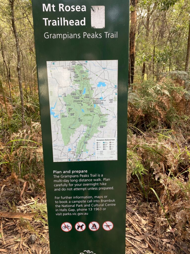
The sign reads:
Plan and prepare
The Grampians Peaks Trail is a multi-day long distance walk. Plan carefully for your overnight hike and do not attempt unless prepared.
For further information, maps or to book a campsite call into Brambuk the National Park and Cultural Centre in Halls Gap, phone 13 1963 or visit parks.vic.gov.au
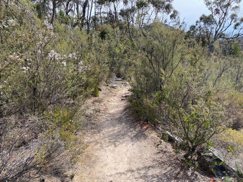
The trail started as ascending dirt track:
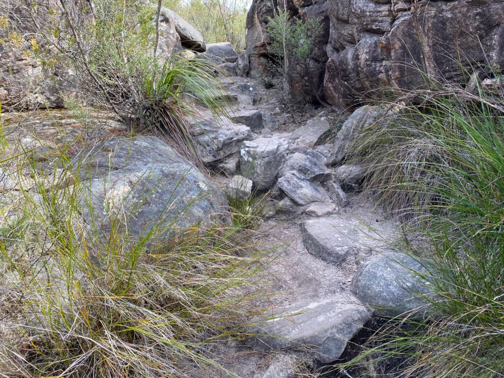
… but soon became a series of a large rock steps:
After about 30 minutes of ascending we started getting great views.
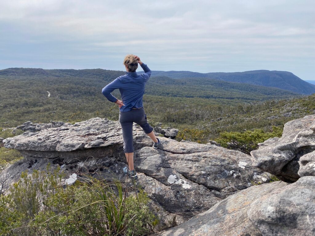
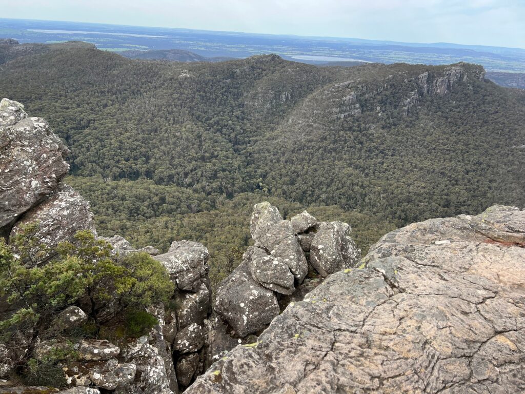
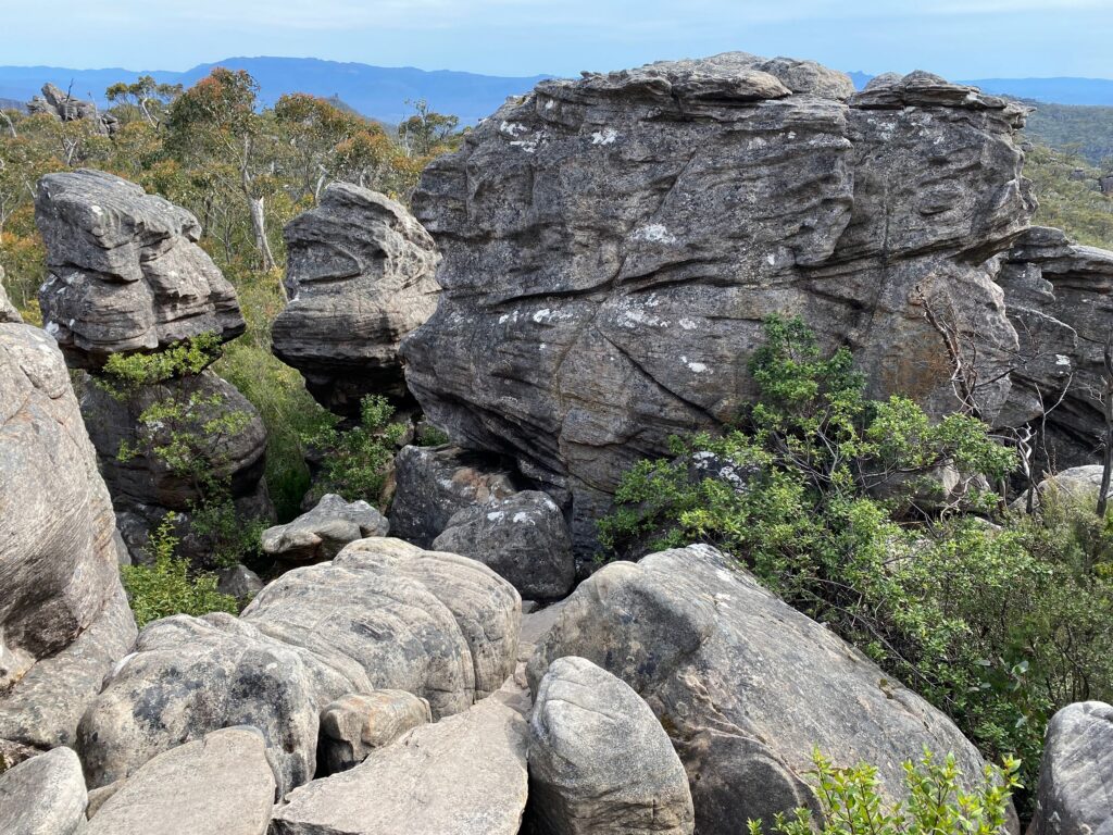
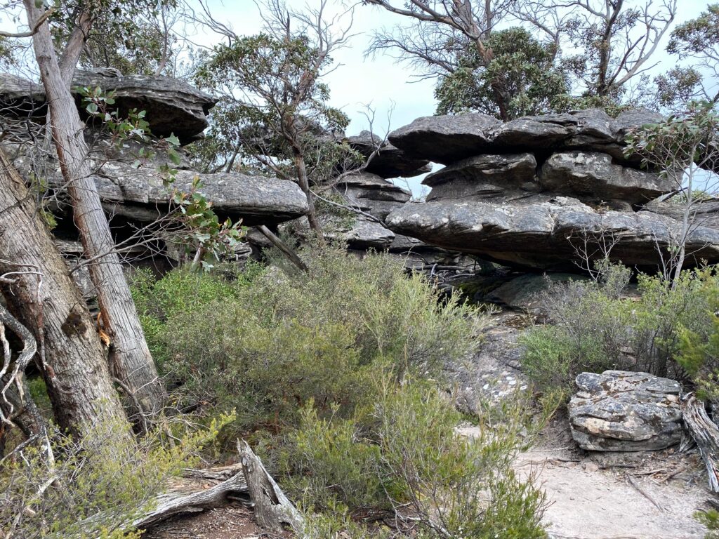
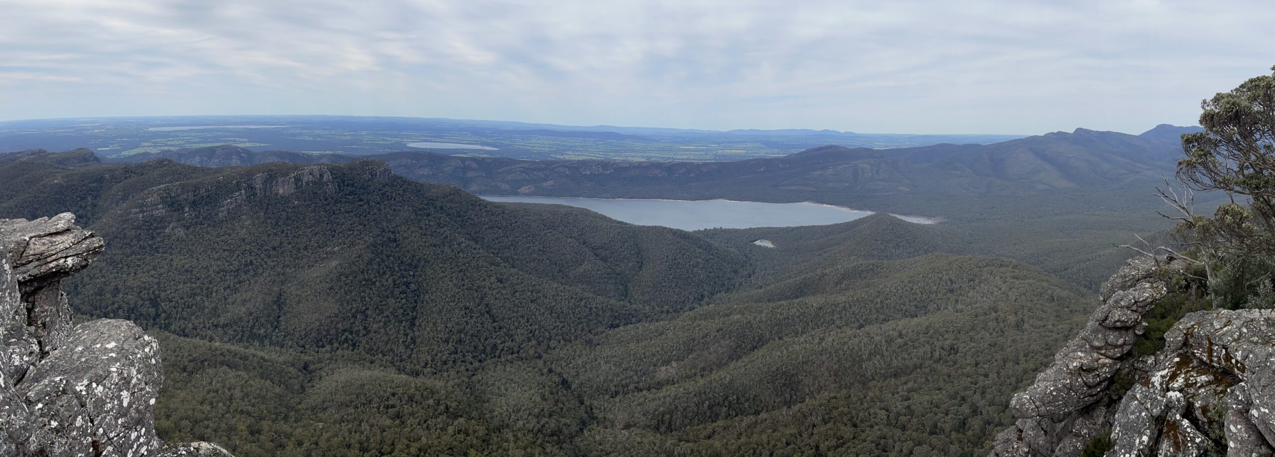
Finally we reached the summit. By this time clouds covered the sun, it was cold and windy. However the views were fantastic.
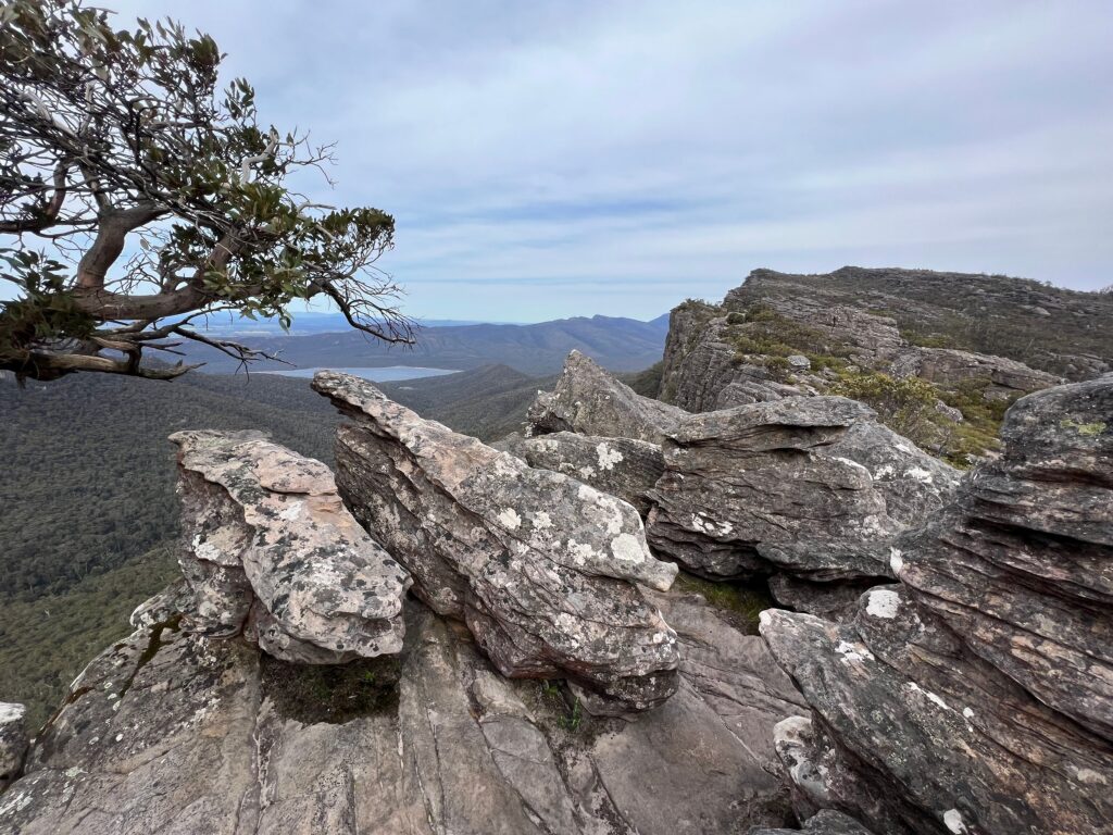
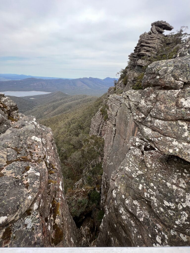
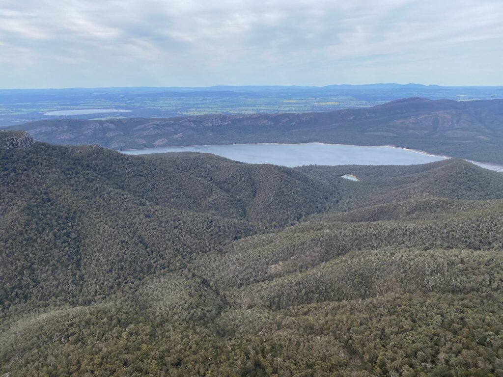
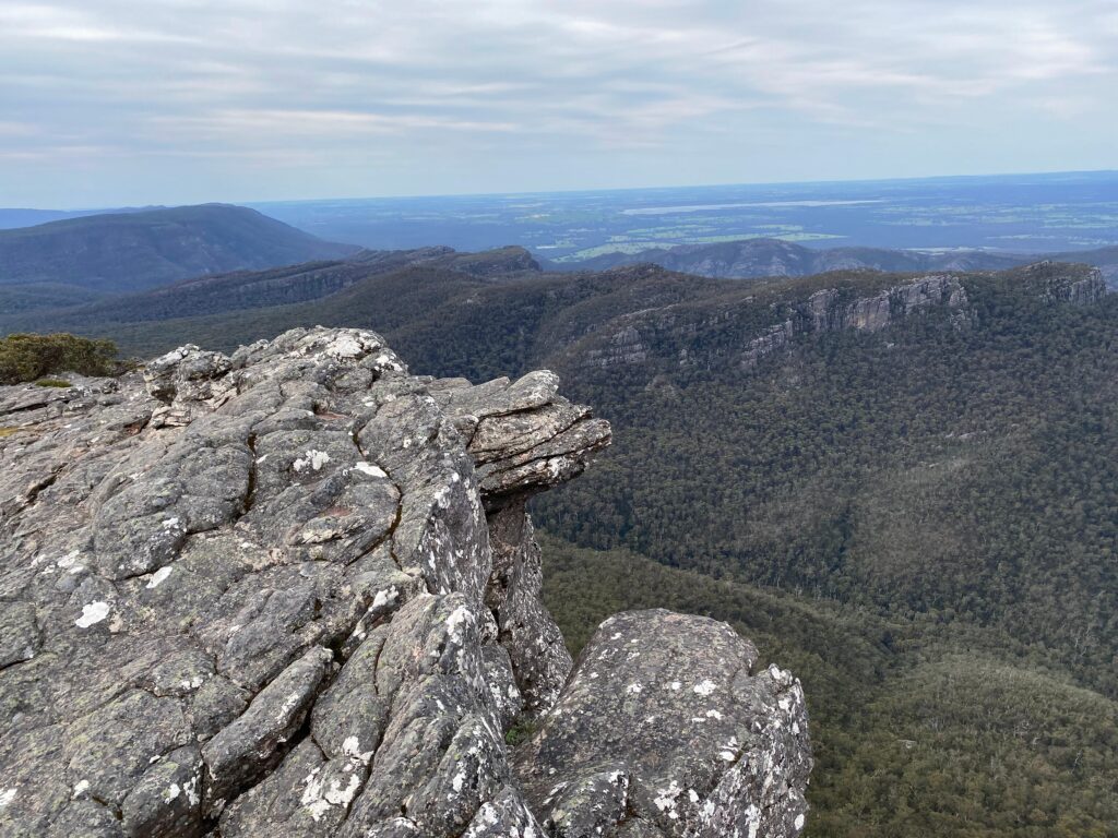
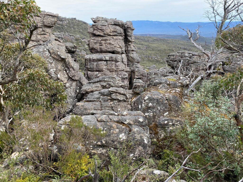
We continued on Mt Rosea Track, turned left to the Grampians Peak Trail and left again to the Burma Track.
We were walking through the forest now.
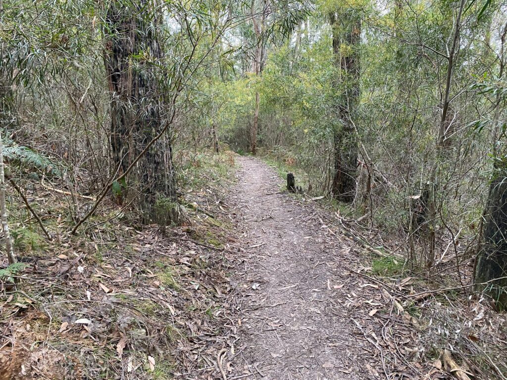
It was much warmer because there was less wind.
The final route segment was on the Silverband Road.
Overall it was a quite challenging hike. We walked 11 km for about 3 hours. We were pretty tired by the end and eager to get back to our car.
| Trail Name | Mount Rosea Loop |
| Distance | 11 km |
| Estimated Time | 3 hours |
| Grade | 4 |
| Type | Circuit |
| Park | Grampians National Park |
| Access | 2WD (no dogs) |

