Tucked into Victoria’s scenic Yarra Valley, Warburton is around 75km from the Melbourne CBD and is best accessible by car.
The picturesque town is popular with hikers, families and picnic goers offering beautiful forests, riverside trails, and towering redwoods.
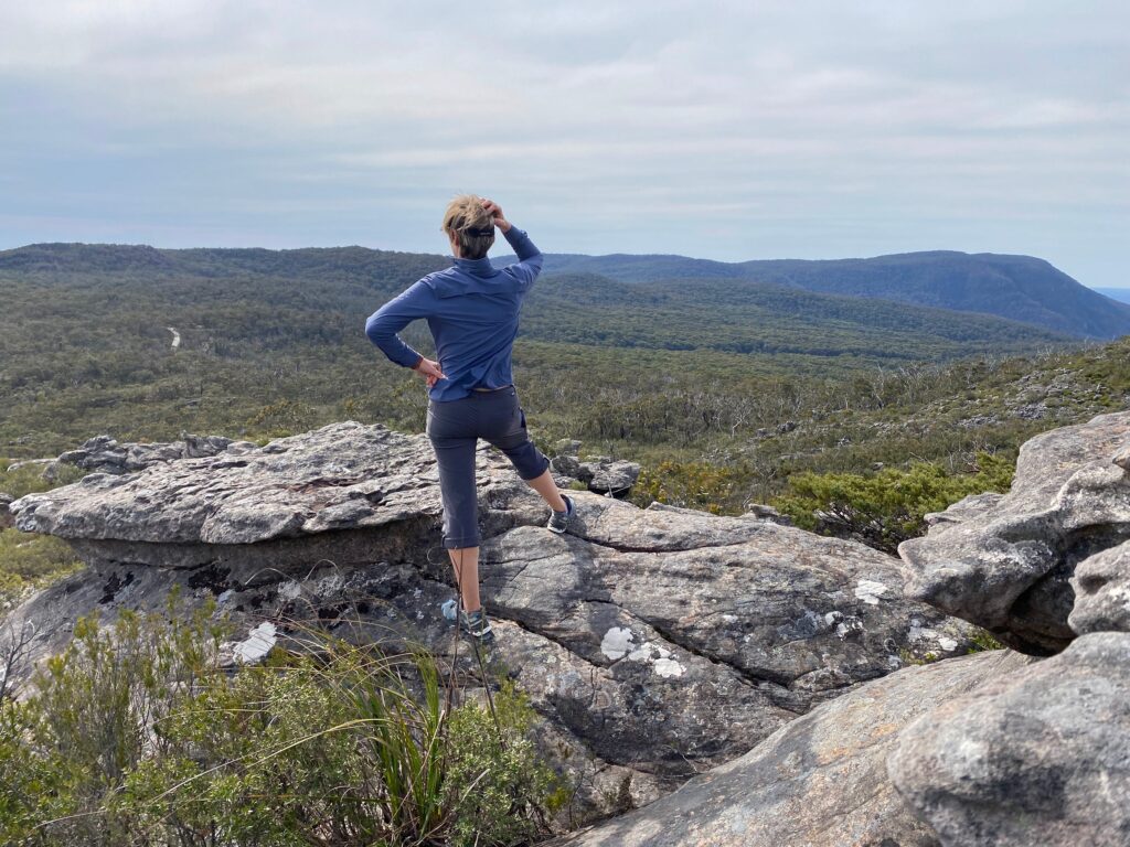
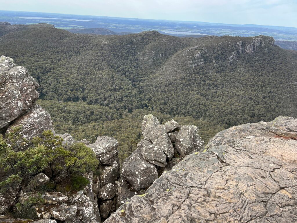
This hike takes you through some of the area’s most iconic natural wonders, including the Redwood Forest, the banks of the Yarra River, and the historic O’Shannassy Aqueduct. A mostly flat trail, this hike is suitable for all fitness levels.
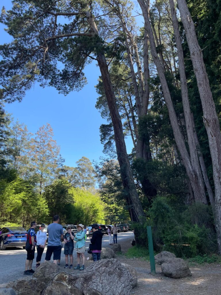
Starting Point: Cement Creek Carpark
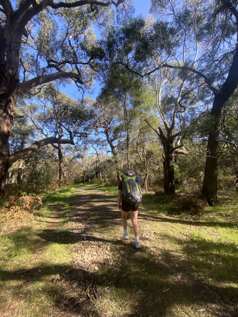
This hike begins at the Cement Creek Carpark, which has a large parking capacity but can still get very busy during peak periods.
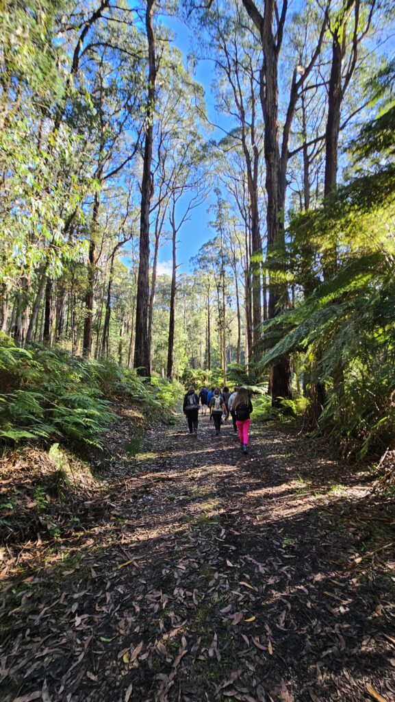
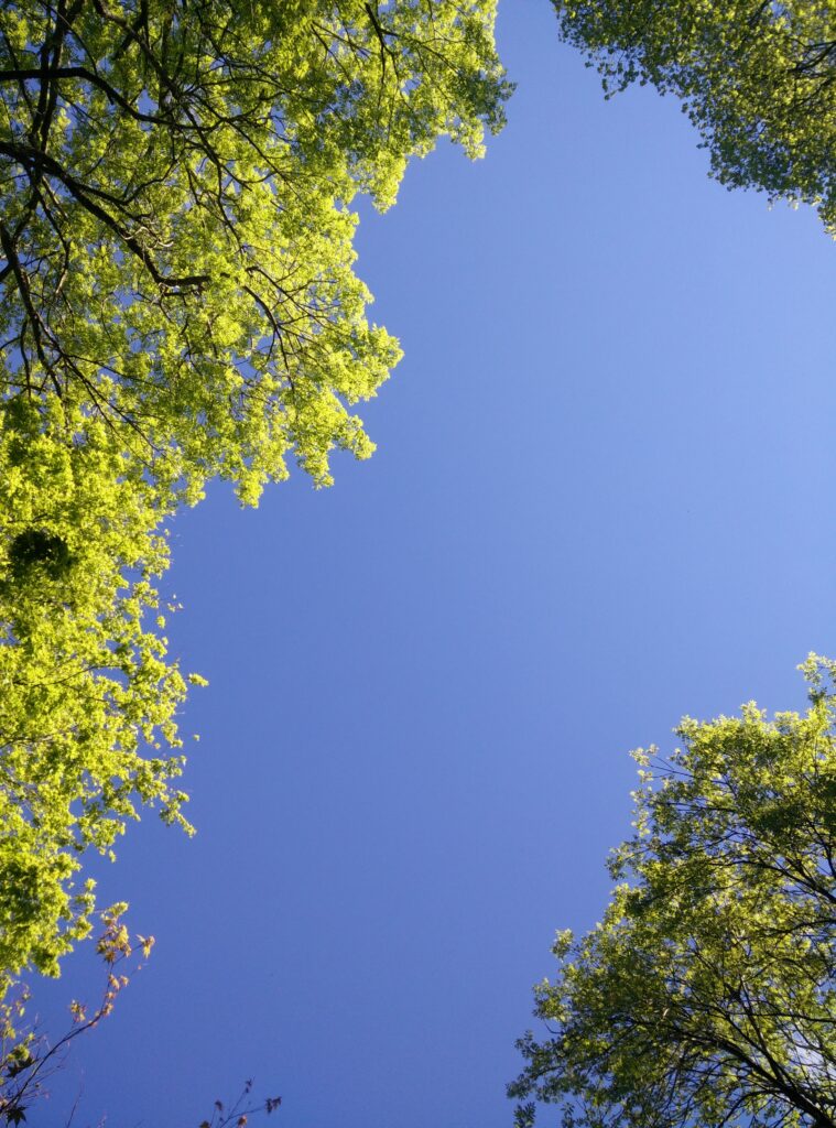
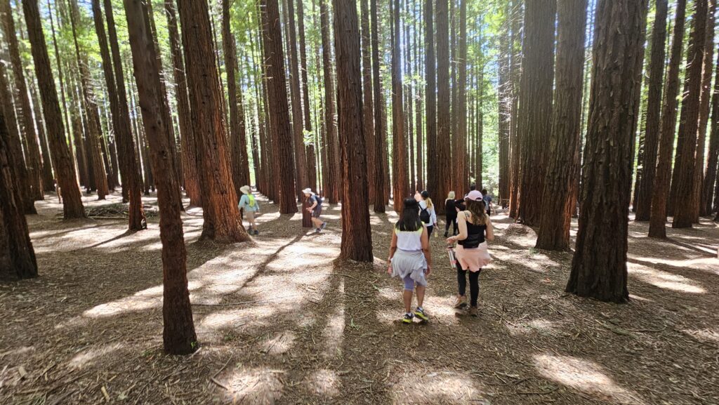
From here, you’re immediately surrounded by the spectacular Redwood Forest.
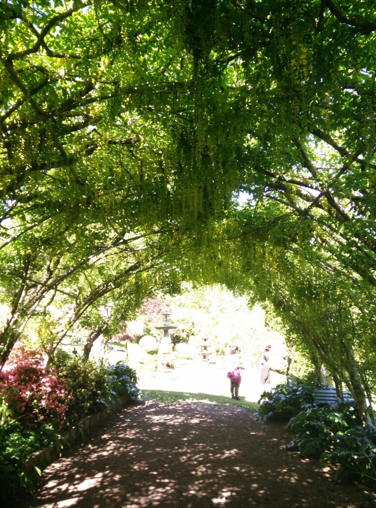
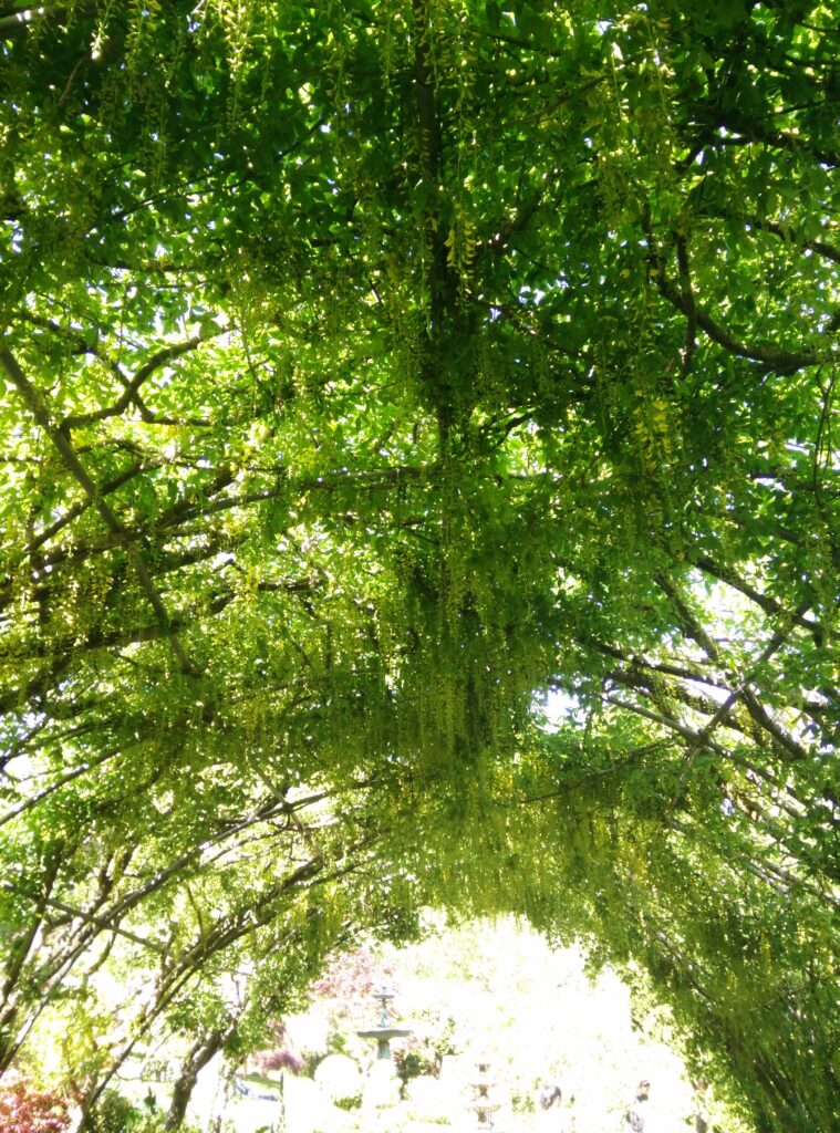
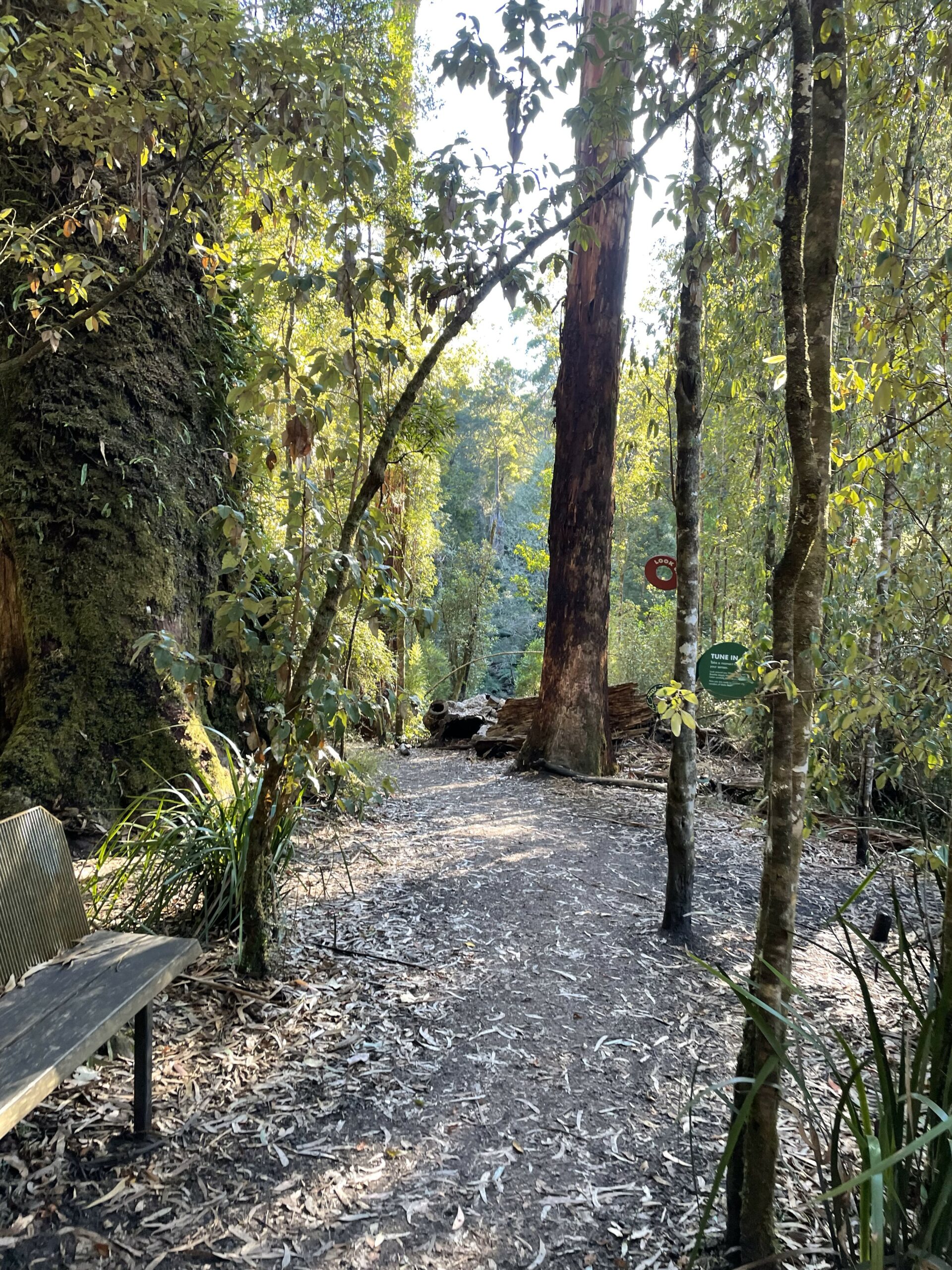
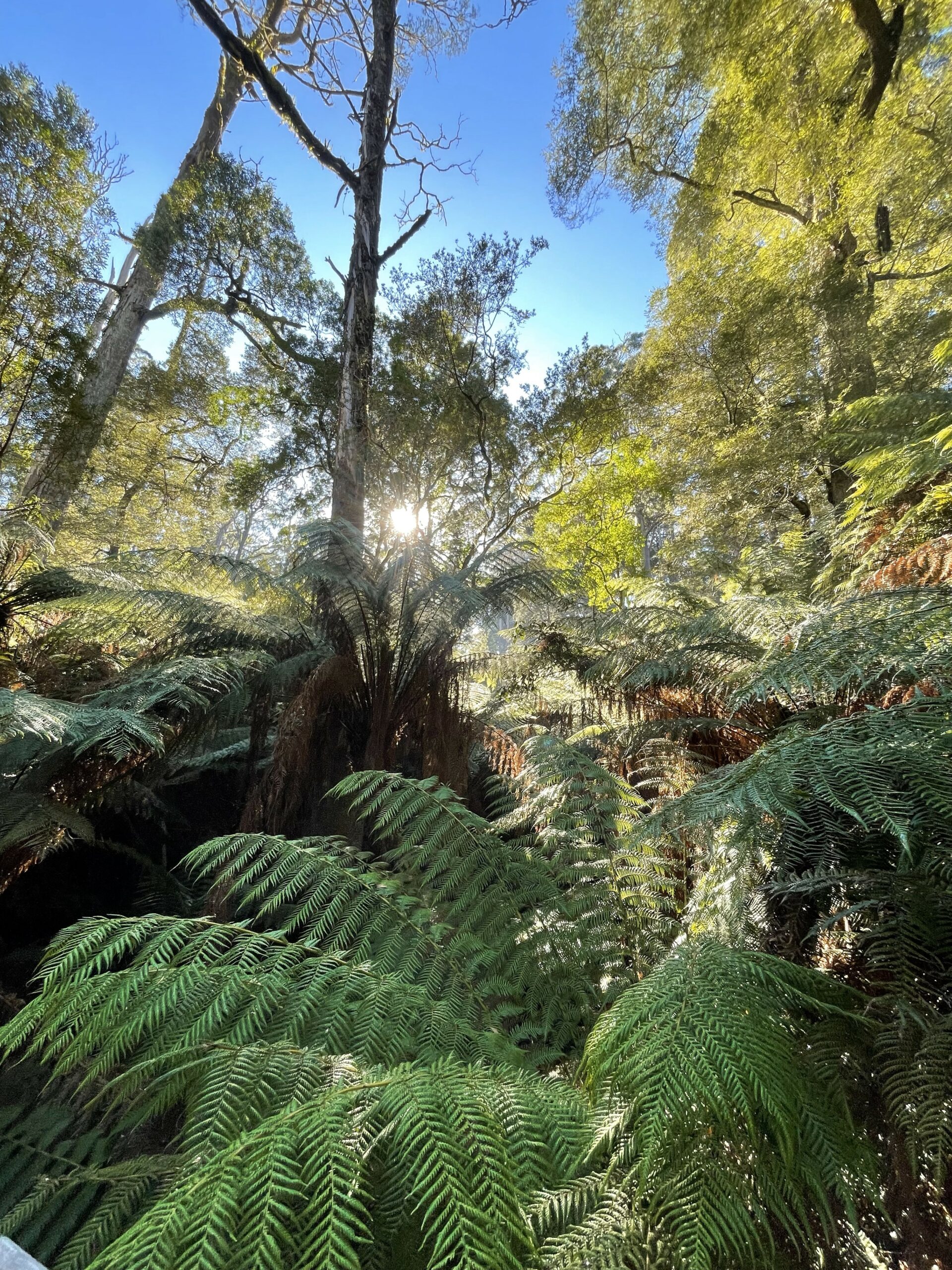
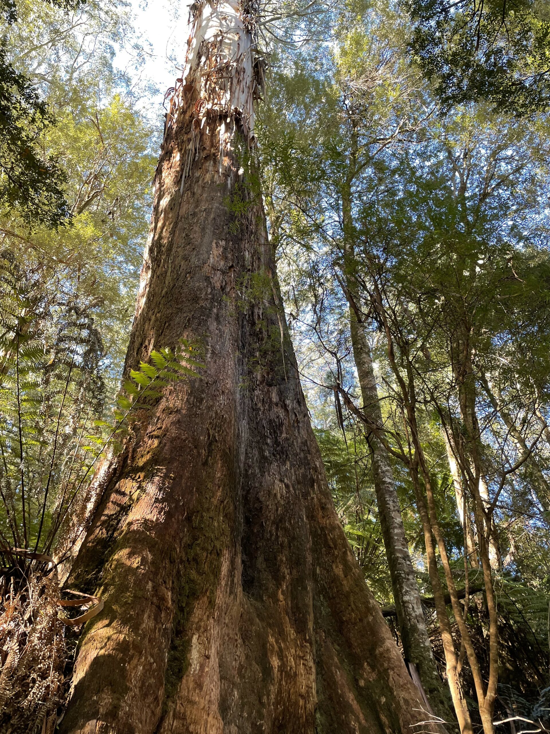
The Redwood Forest
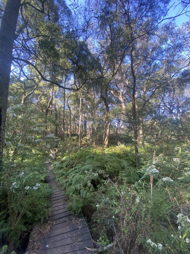
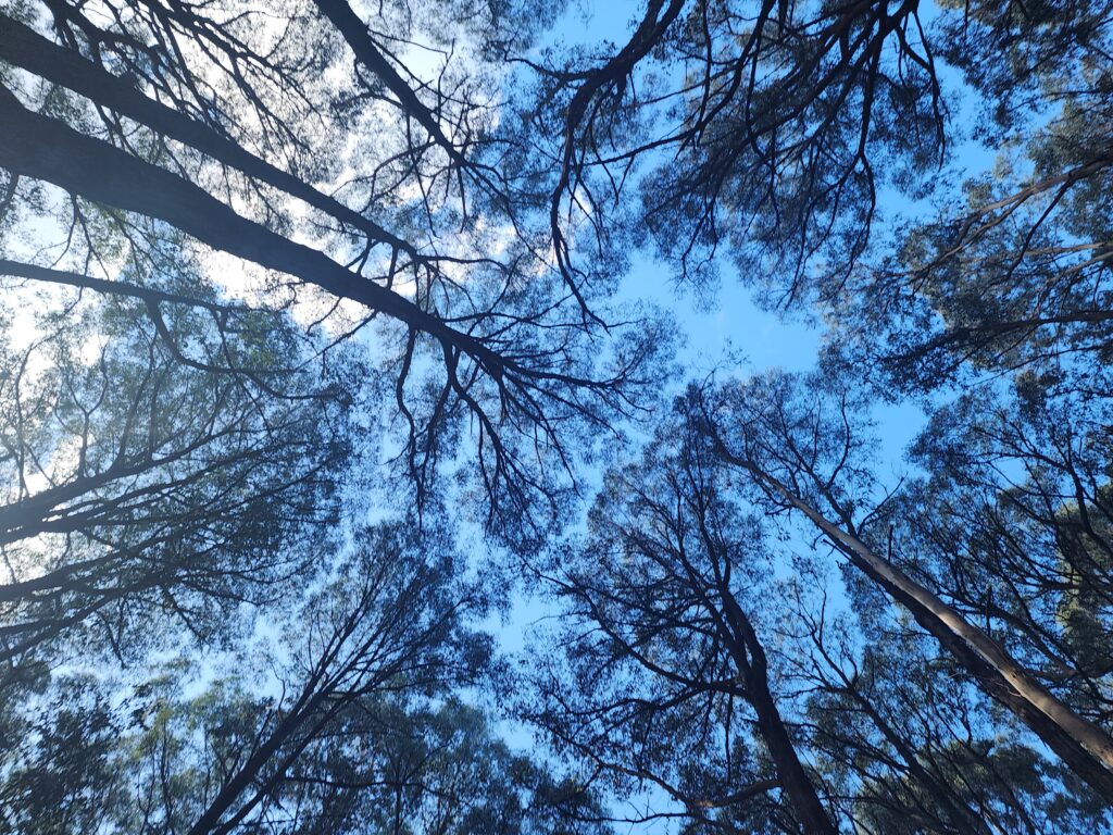
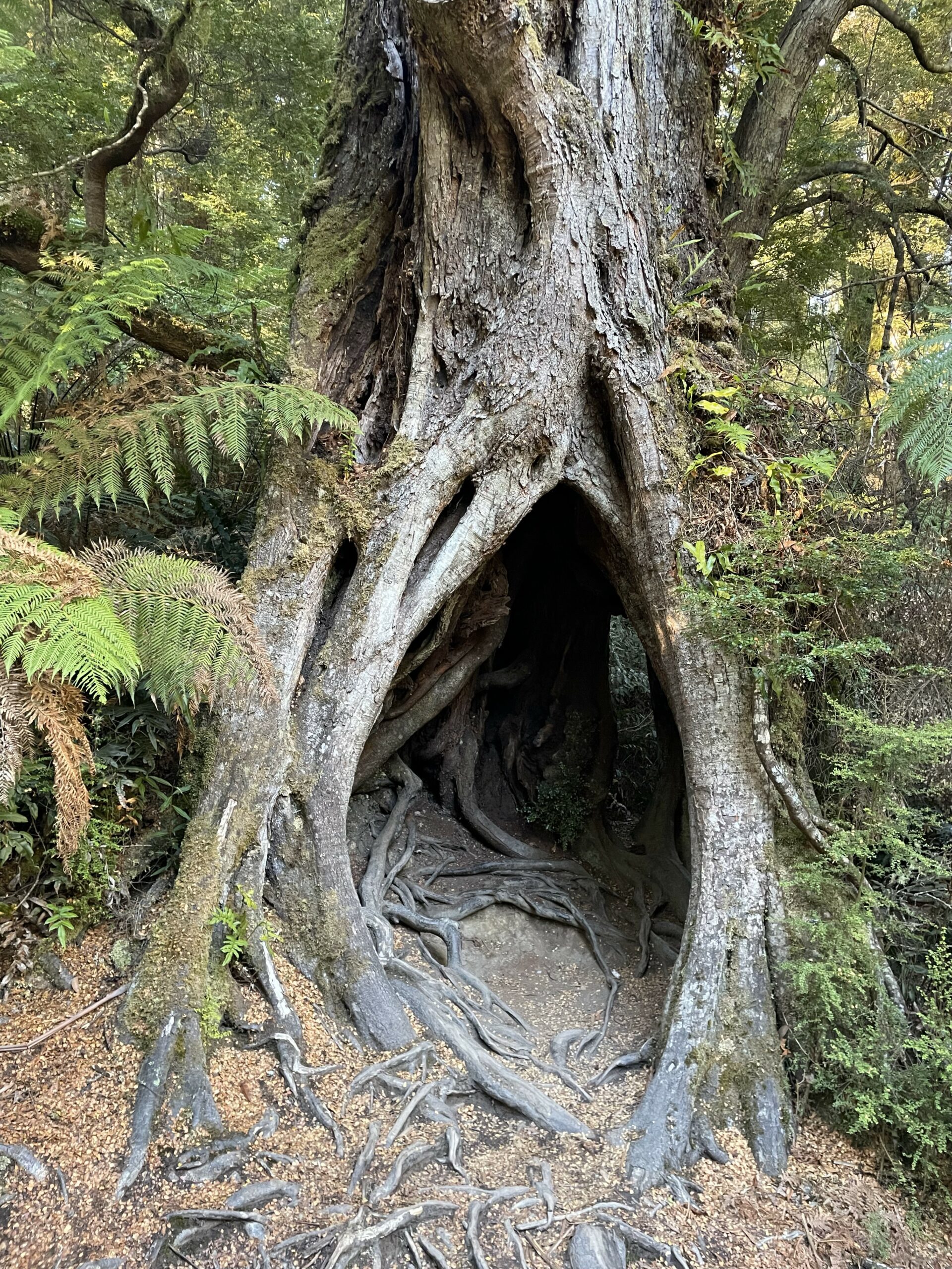
The Redwood Forest hosts a magnificent stand of Coast Redwoods planted in the 1930s. Although they’re not native to Australia, these trees have thrived in the rich soils, creating a unique natural landmark. As you step into the forest, the temperature seems to drop, and the air fills with a piney, earthy scent. Rays of sunlight filter down through the tall trunks, casting a soft glow that makes the forest feel enchanted.
Many hikers find themselves pausing here, taking a moment to walk amongst the trees and stopping for the obligatory photo or two. The sheer height of the redwoods makes you feel small in the best possible way, offering a quiet moment of reflection and connection with nature. The forest floor, covered with soft needles and rays of light, is a tranquil escape from the everyday.
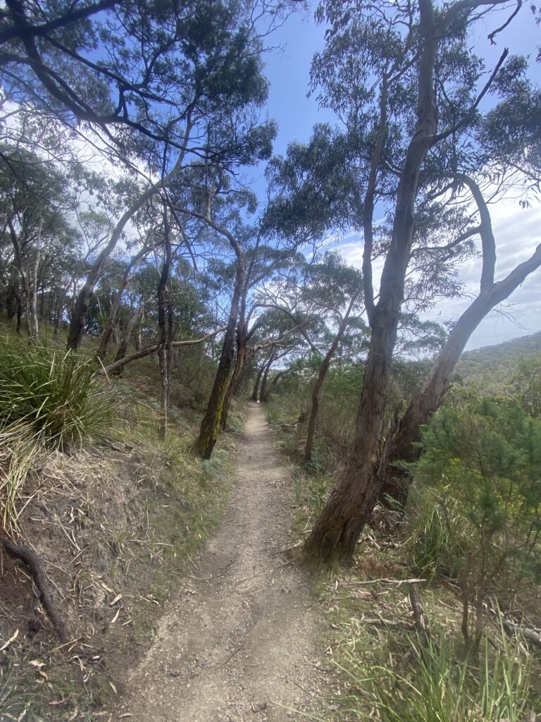
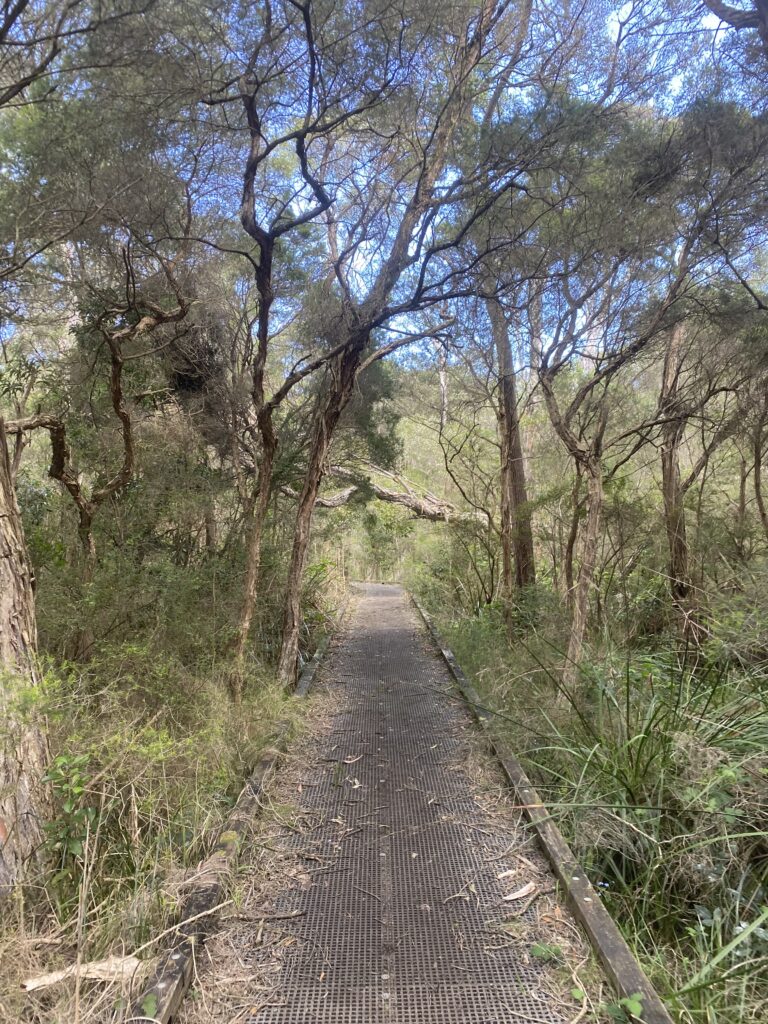
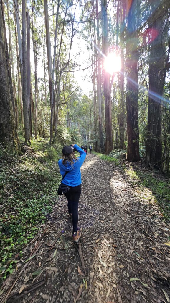
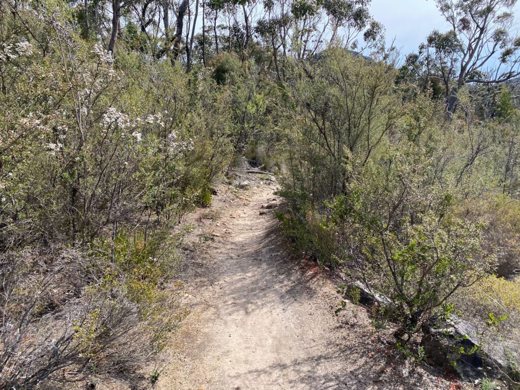
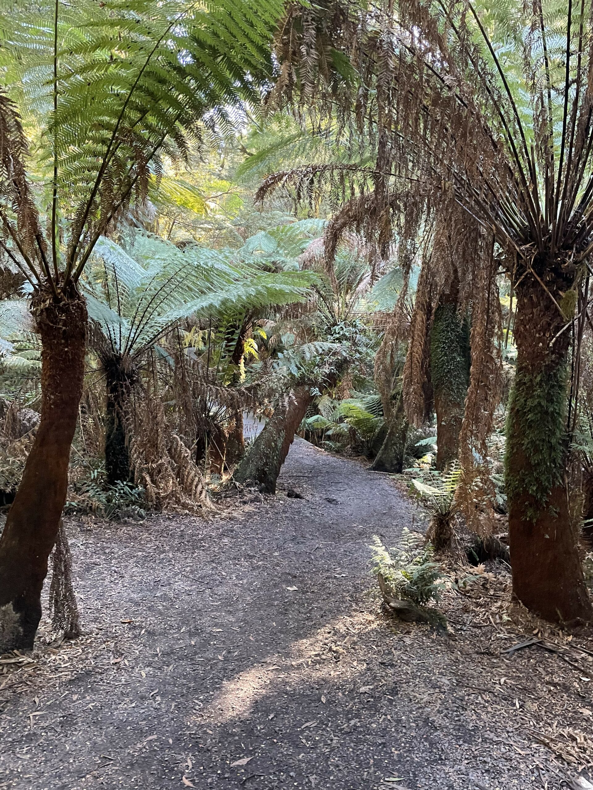
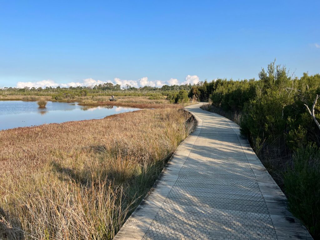
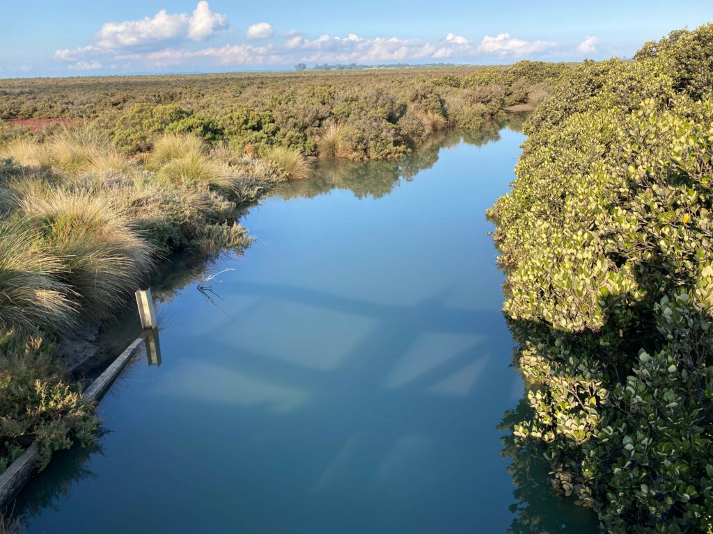
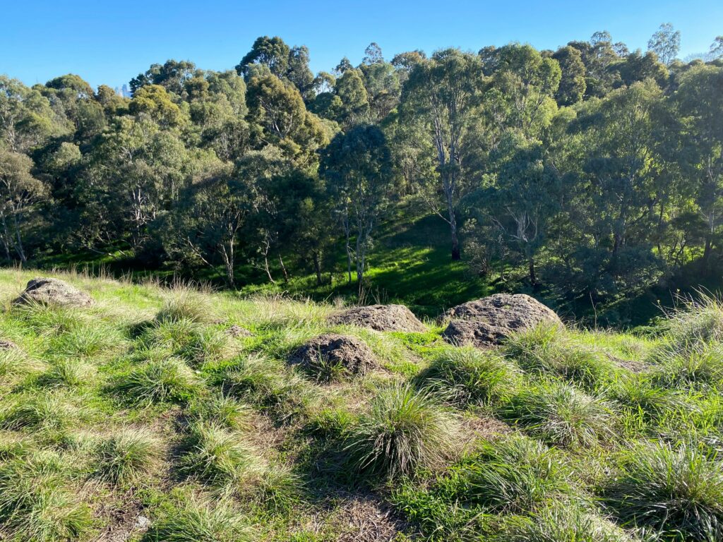
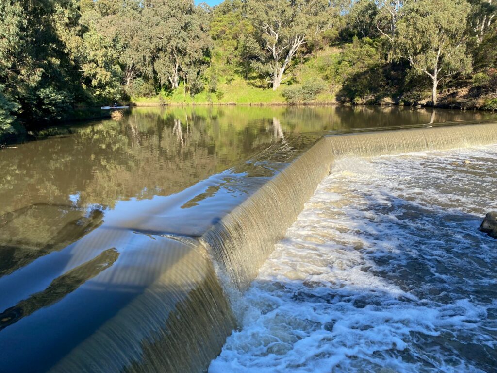
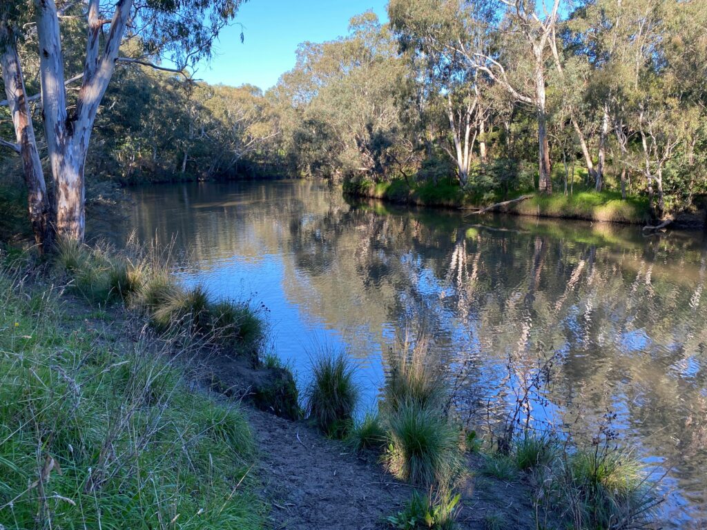
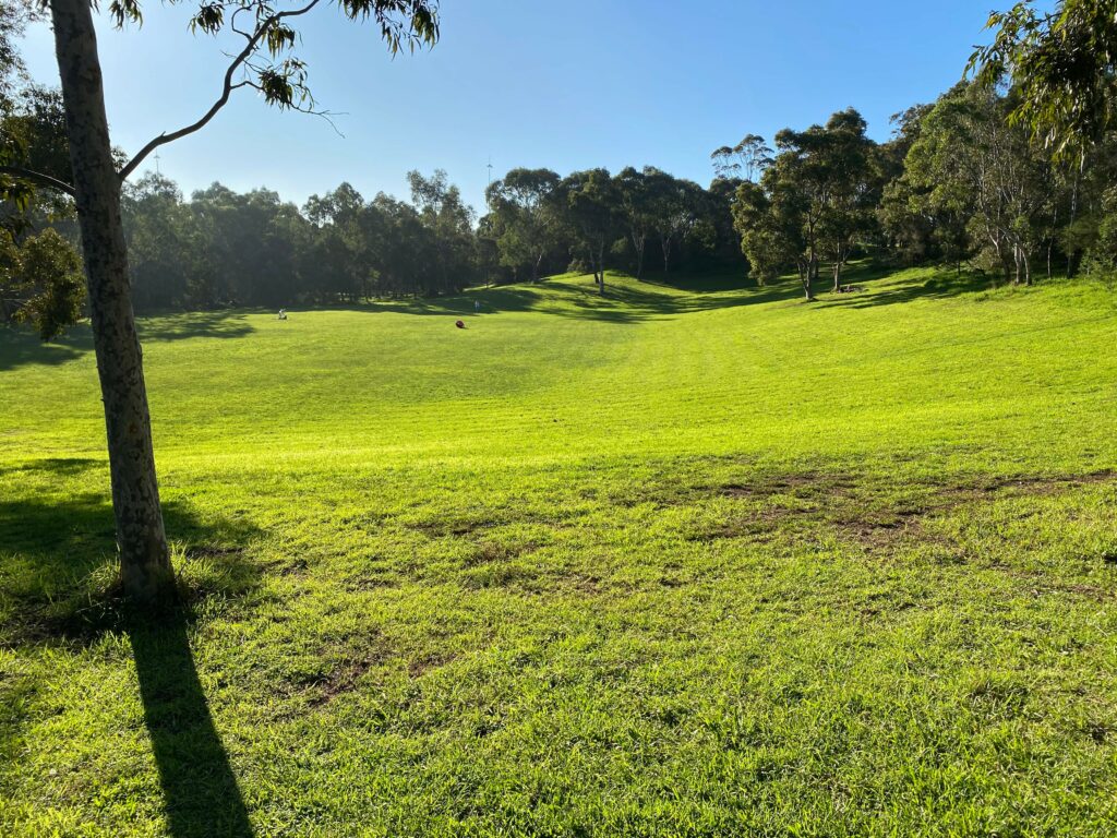
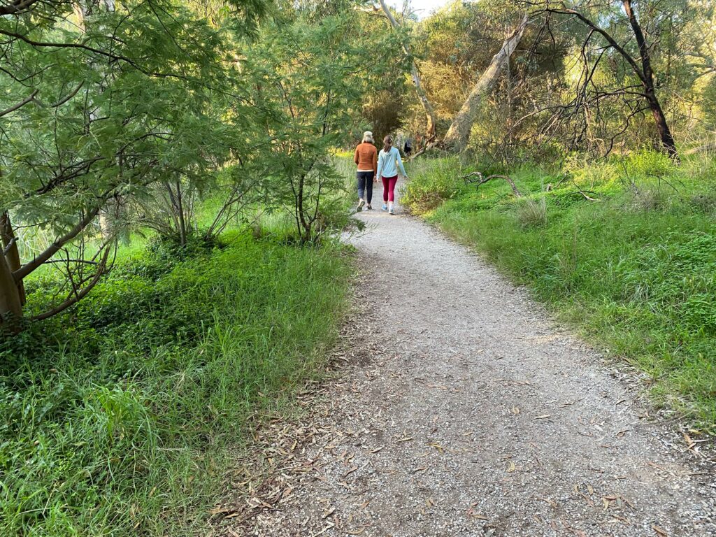
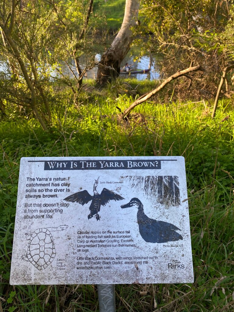
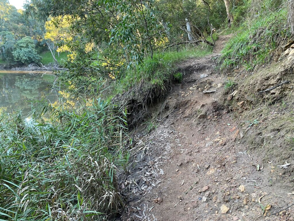
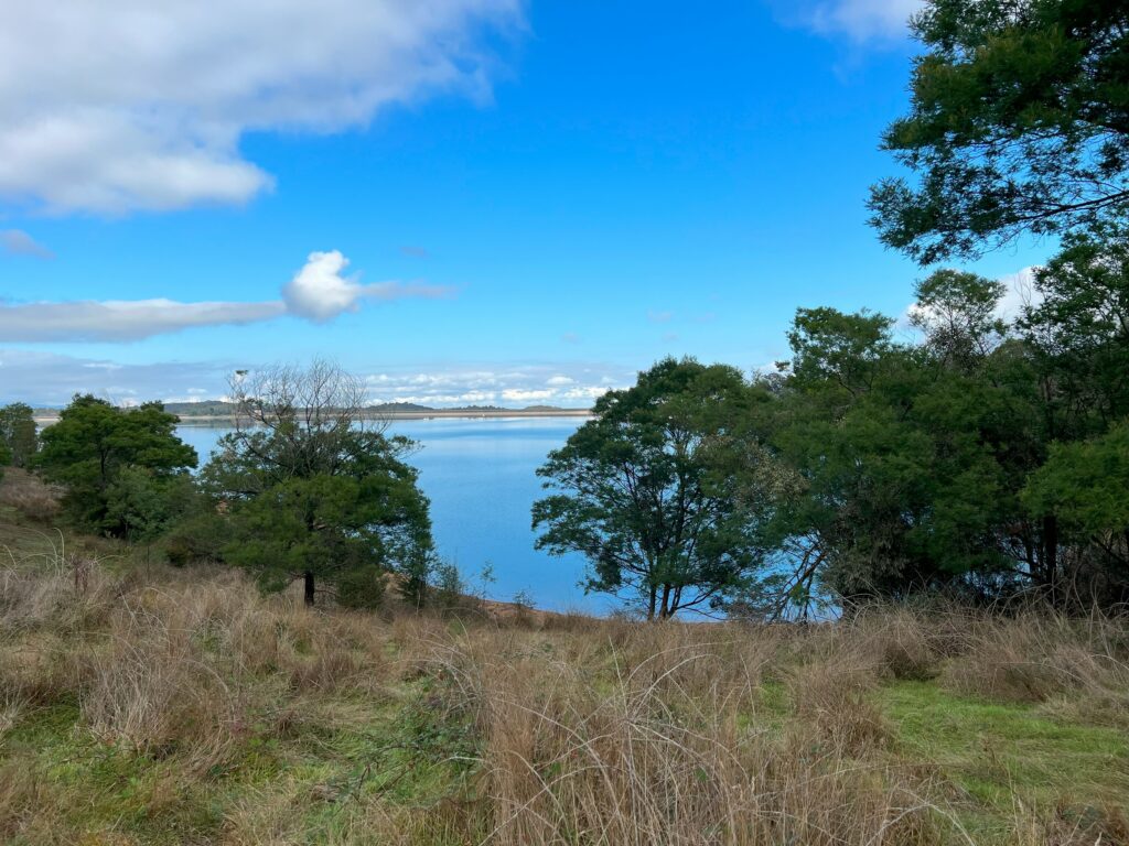
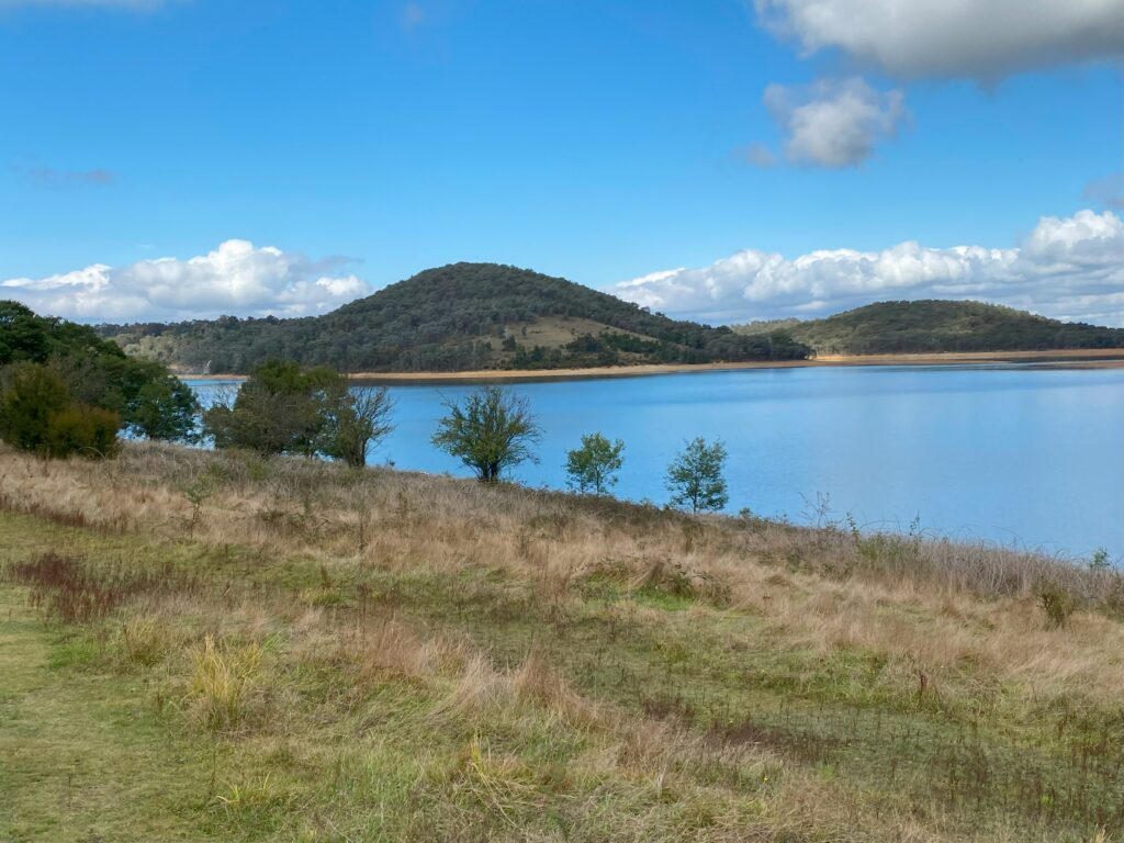
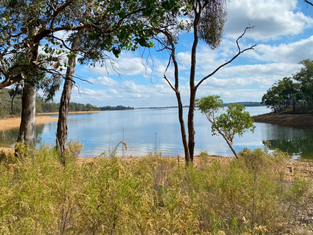
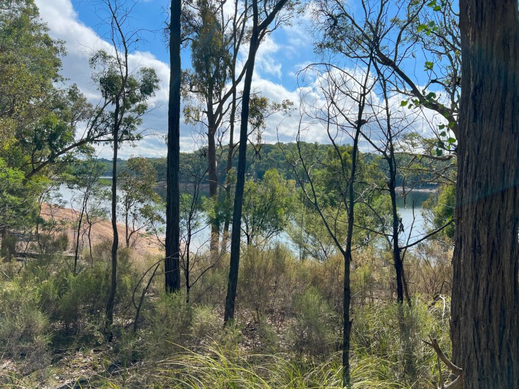
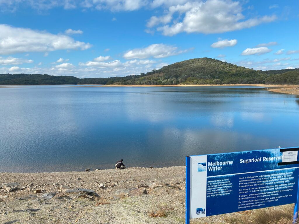
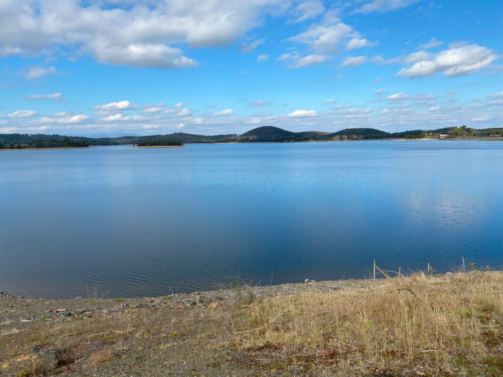
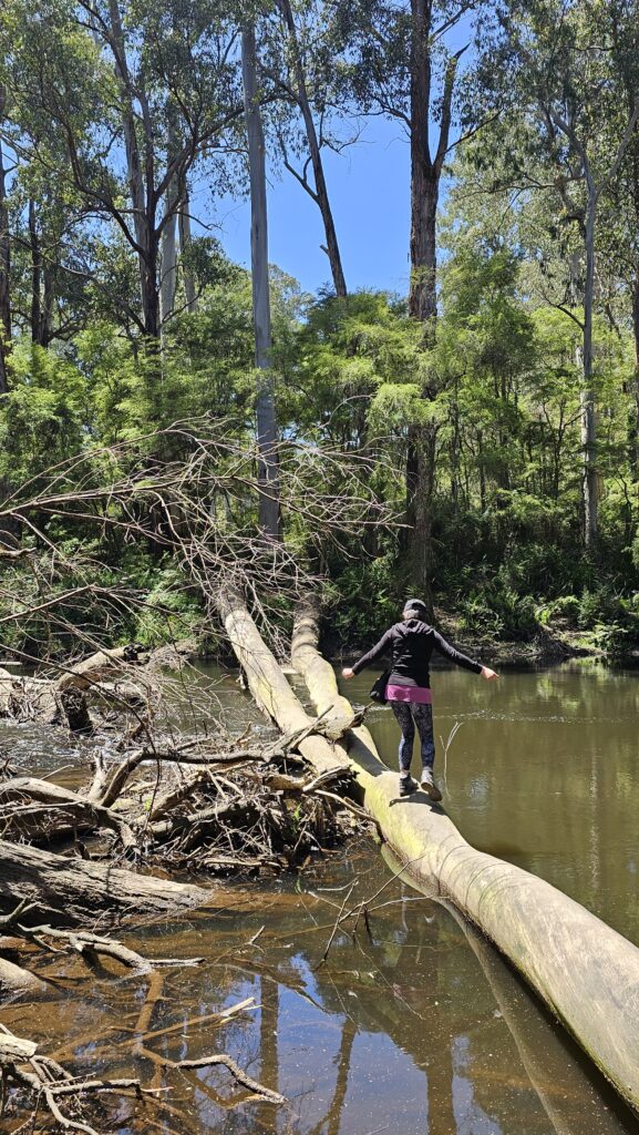
Following the Yarra River
After soaking in the Redwood Forest’s beauty, the trail leads you back toward the Yarra River. The Yarra snakes gently through Warburton, providing a beautiful, calming presence for the next leg of the hike. The trail here is mostly flat, making it an ideal stretch for a relaxed walk – but if you’re feeling adventurous, why not attempt a river log crossing!
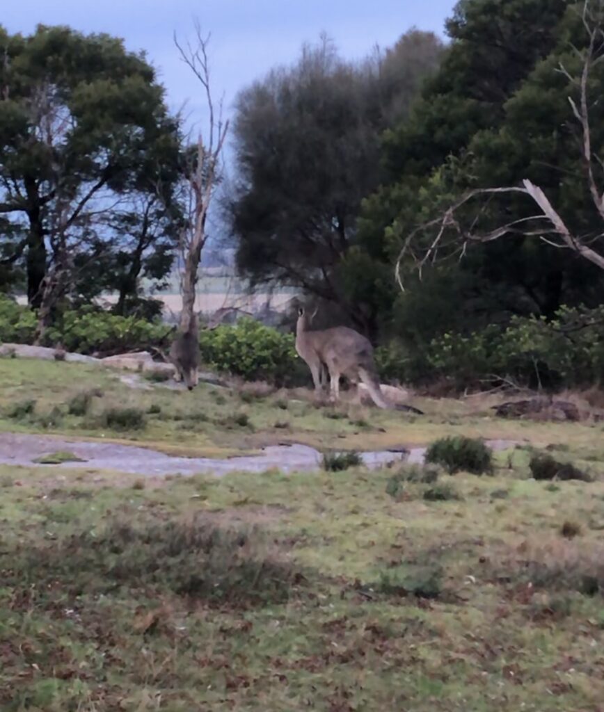
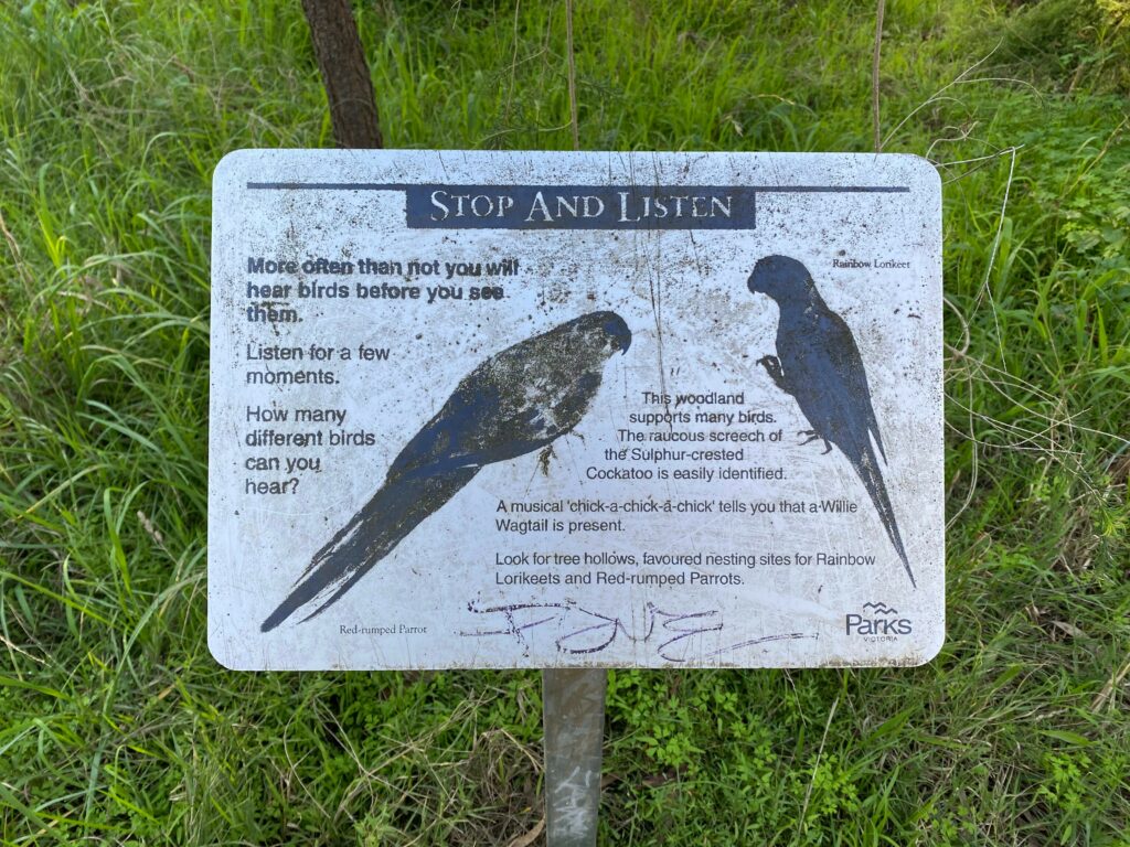
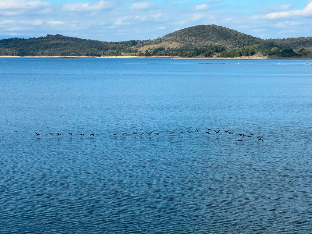
Along this part of the trail, you might spot local wildlife including lyrebirds, kookaburras, and perhaps even a platypus. You will have to raise your voice to talk to your friends and family in order to be heard over the piercing cicadas which come out during the warmer months.
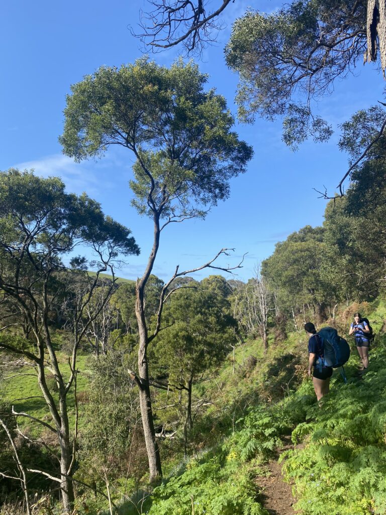
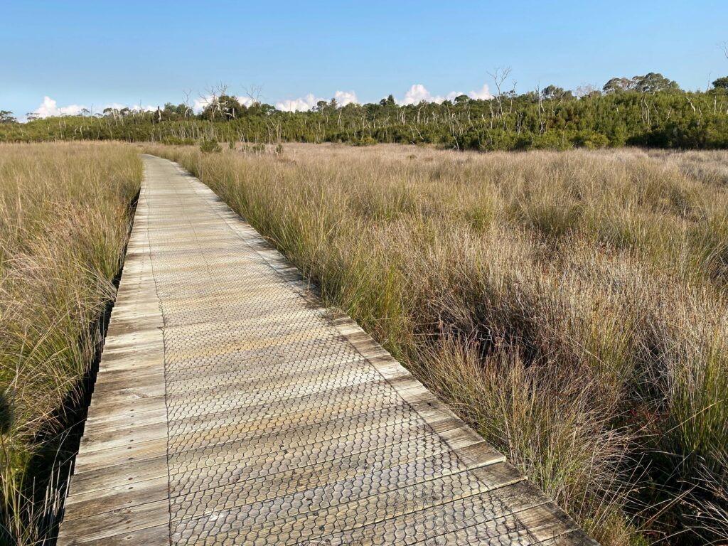
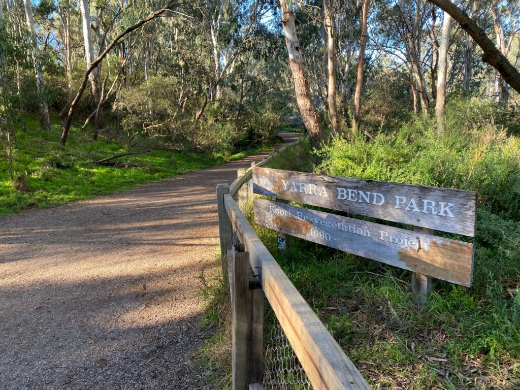
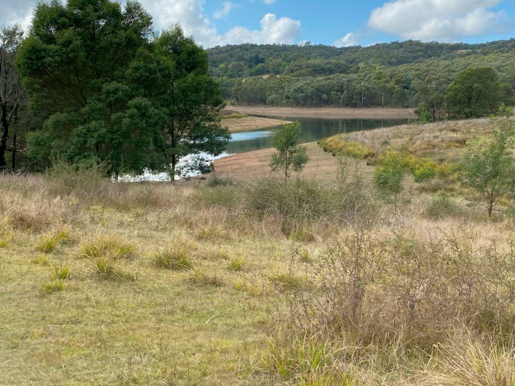
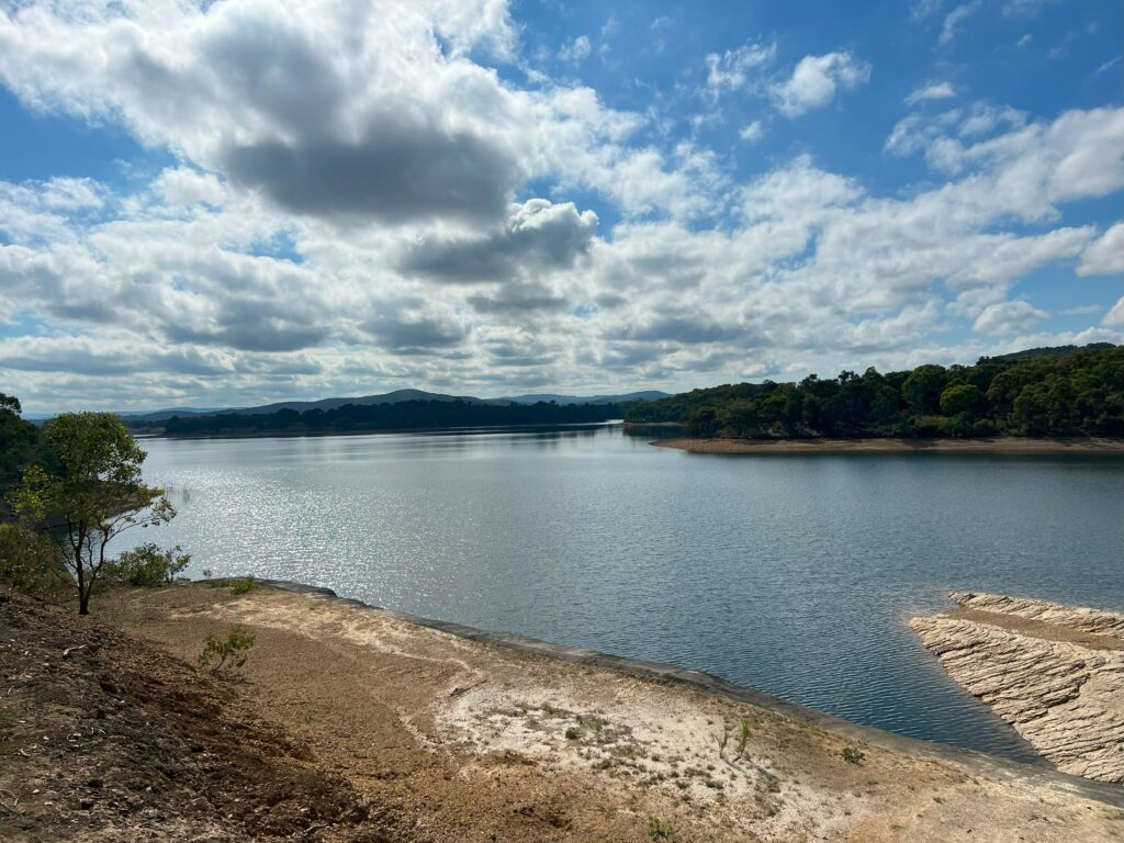
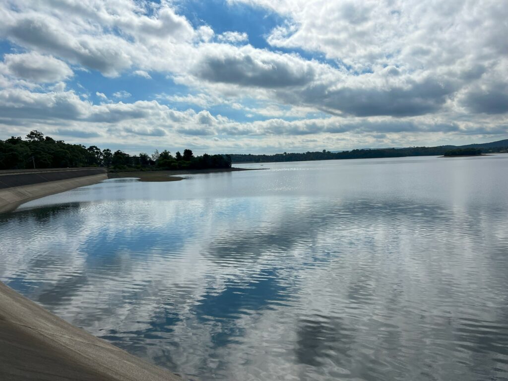
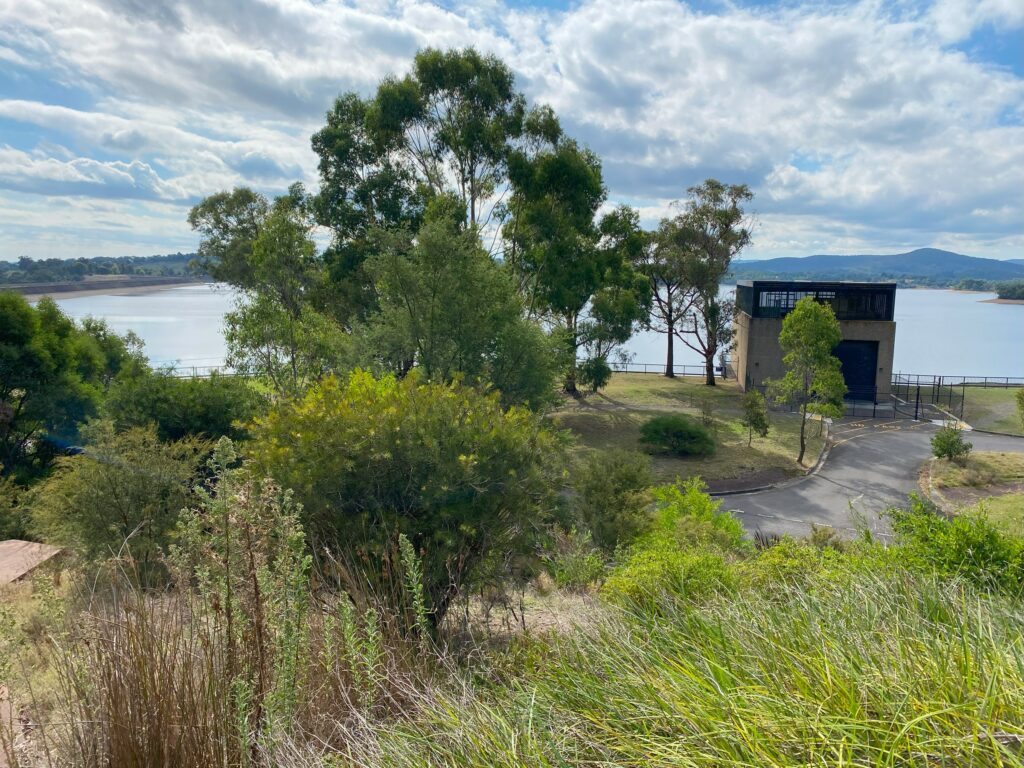
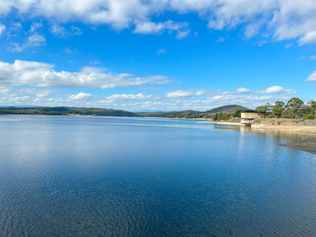
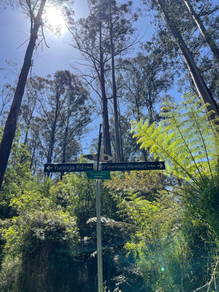
O’Shannassy Aqueduct
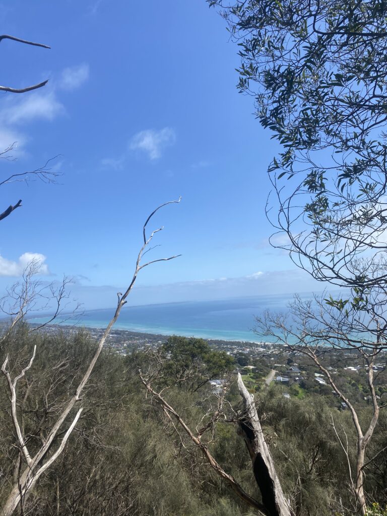
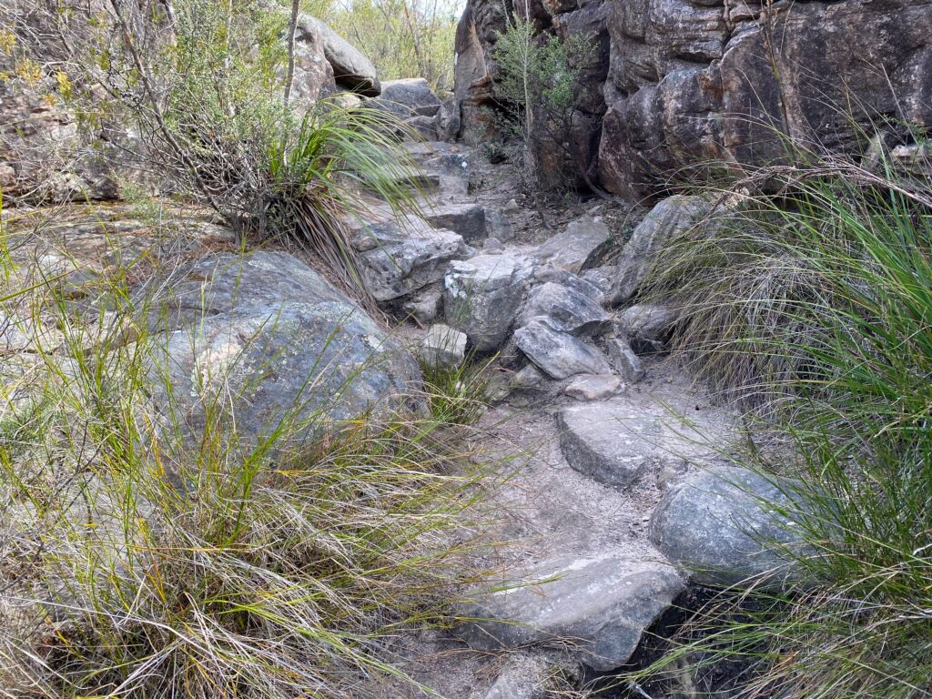
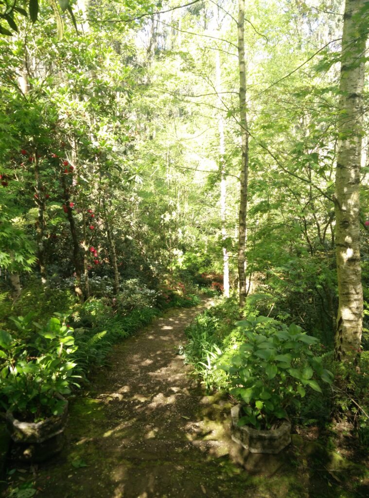
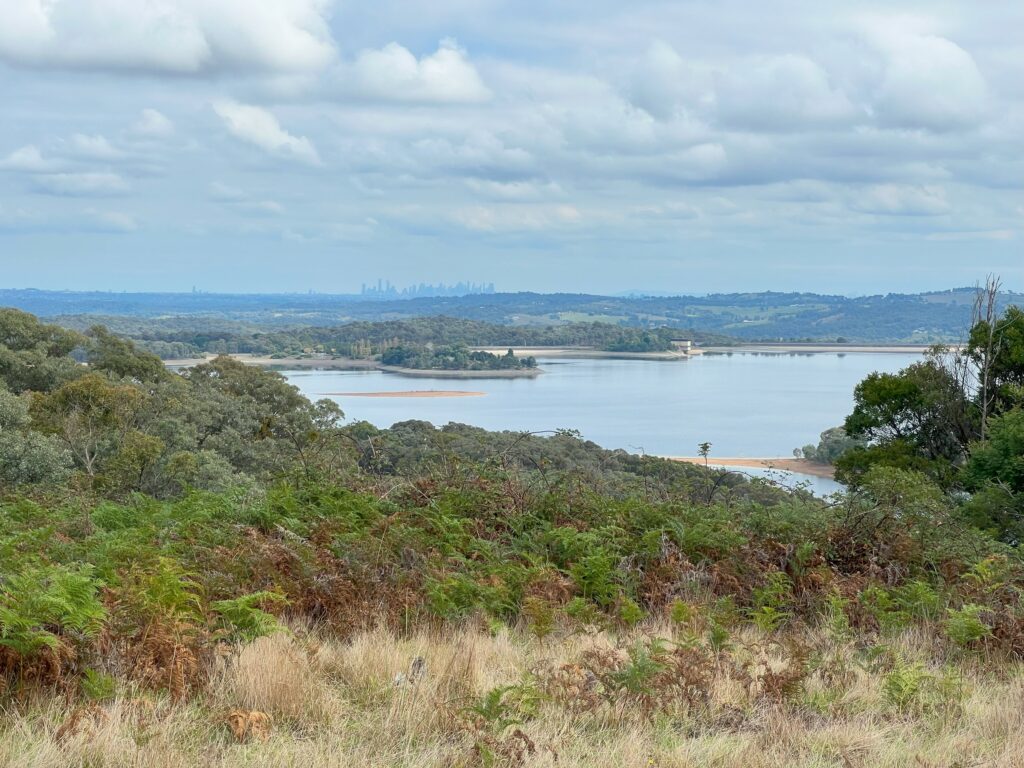
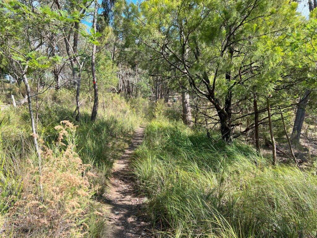
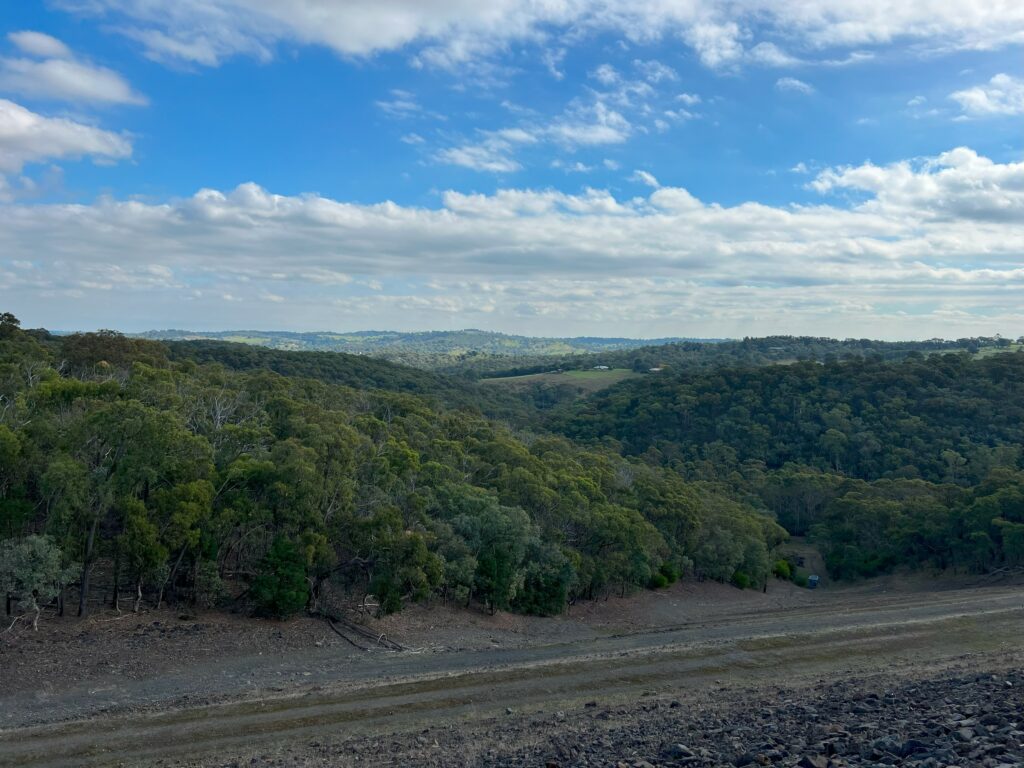
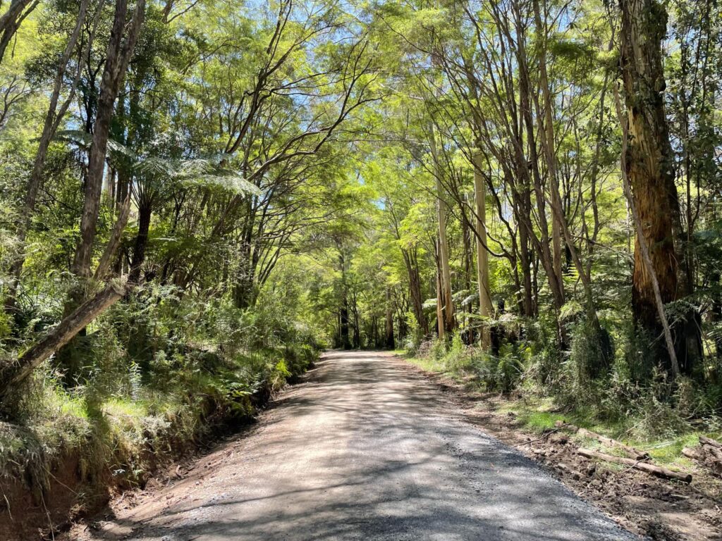
Next, the hike leads you to the O’Shannassy Aqueduct Trail (around 10 minutes from Redwood Forrest), a flat path that follows the former aqueduct built in 1914 to carry water to Melbourne. This historic trail offers a window into the region’s history and an easy walking path through a stunning forest landscape. The aqueduct itself is no longer in use, but it remains a scenic and peaceful trail, with lush green surroundings and frequent views of the Yarra Ranges in the distance.
Returning to Cement Creek Carpark
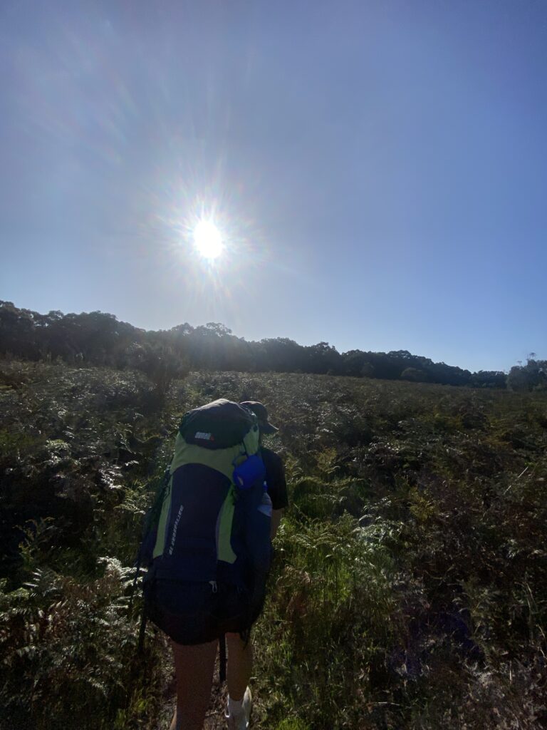
After walking around six kilometres along the O’Shannassy Aqueduct, it’s time to turn around and walk back the same track to the Cement Creek Carpark, making it around 14km all up. If you’re feeling fit, you can walk further along the track! There are loop options to return to Cement Road, but be careful as they involve walking on a main road.
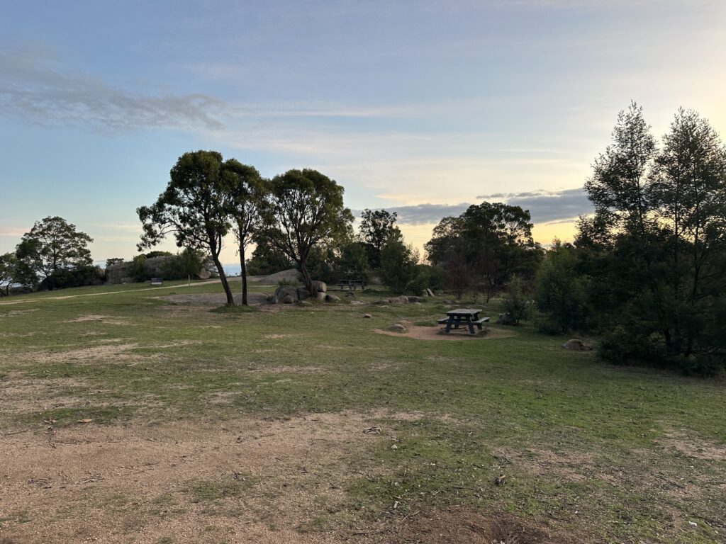
Back at the carpark, you can take a moment to stretch, reflect on the journey… even have a well deserved picnic. The Warburton hike offers a unique combination of natural beauty, historical significance, and peaceful landscape
Warburton Hiking Tips
• Wear sturdy footwear: The trail is mostly flat, but some sections can be uneven.
• Bring water and snacks: Although the hike is relatively gentle, it’s still 14km, so you’ll want to stay hydrated and energised.
• Protect against the sun and insects: There is plenty of shade, sunscreen is still a good idea however, as well as insect repellent to ward off all the pesky bugs!
• Take it slow in the Redwood Forest: This part of the hike is a real gem, so take your time to enjoy the surroundings and soak it all in.
• Plan your visit for early morning or late afternoon: Warburton’s beauty makes it a very popular area during peak times. Pick your time to get a good carpark and have the Forest more to yourself.